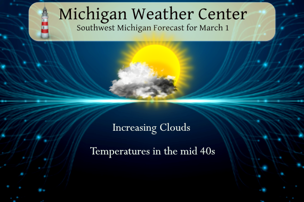
Yesterday we added .20 of an inch of snow to our meager snowfall total this year. After highs in the 30s yesterday we will return to warmer than normal temperatures today with plenty of sunshine in store. Clouds will increase starting Tuesday, eventually leading to showers and thunderstorms starting late Wednesday. Conditions will then remain […]
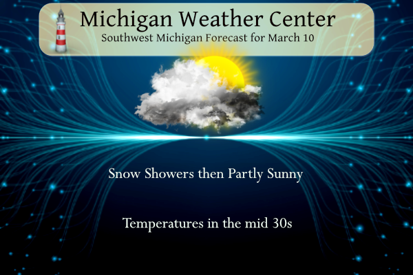
I overslept this morning, or did I? Darn time change anyway messing with my circadian rhythm. It’s a good thing I am retired so it won’t have much of an effect on my daily activities. Snow showers will end this morning with little to no additional accumulation. Decreasing clouds will lead to more sunshine this […]
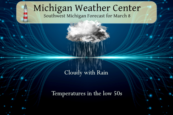
We have some rain moving in from the southwest this morning it will overspread the area lasting through tomorrow as it tapers off to scattered light showers and drizzle. Rainfall forecast totals could amount to over an inch. NWS Forecast Today Rain, mainly after 10 am. High near 53. East-southeast wind 6 to 11 mph. […]
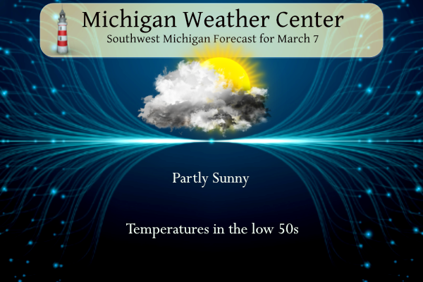
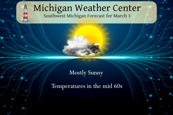
Yesterday we reached 51° for our high temperature with partly sunny skies. Variably cloudy skies are expected today with more sunshine in the forecast over Central Lower Michigan. Southern Lower Michigan will see mainly cloudy skies. Highs will be above normal around the 50-degree mark today. Rain will spread in Friday morning with periods of […]

Yesterday we had .56 of an inch of rainfall with a high of 54°. A decrease in clouds is expected today from north to south. By late afternoon most locations should see sunshine. Normal highs this time of year are around 40 and we will be up around 50 today. A cooling northwest wind of […]
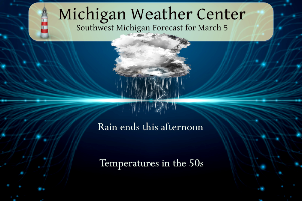
Yesterday we had a record high temperature of 71° in Otsego. We currently have 52° at 6 am with rain along with some thunder and lightning. With the passage of a cold front temperatures will remain in the 50s. Highs in the 50s are expected through Friday, before colder air moves in for the weekend. […]

Yesterday we reached 66° in Otsego. We are currently at 45° at 6 am this morning. Today we will be making a run at record temperatures in the low 70s. Clouds will be on the increase today. An approaching cold front will bring showers and thunderstorms tonight and Tuesday along with cooler weather for the […]
We have expectations of our warmer-than-normal temperatures ramping back up today continuing through the rest of the week. Today will be in the mid-60s and tomorrow in the low 70s before falling back into the 50s on Wednesday. Chance of showers and thunderstorms move in tomorrow and tomorrow night. February Summary Winter Summary NWS Forecast […]
It appears Meteorological winter is going out with a whimper though the official end isn’t until March 19 this winter was mainly a bust for snow lovers. Partly to mostly sunny skies are expected through Sunday, then rain chances will increase by Monday afternoon. Very mild weather is expected with temperatures warming to around 70 […]
We close out the winter that wasn’t today. With the exception of a couple of weeks of snowy conditions this winter turned out to be rather mundane. We had 29 inches of snow in Otsego and the coldest temperature was -8° on the early morning of January 13. NWS Forecast The area will see high […]