According to the NWS glossary, an unsettled weather pattern is a colloquial term used to describe a condition in the atmosphere conducive to precipitation. This term typically is associated with the passage of surface or upper-level low-pressure systems, fronts, or other phenomena when precipitation is expected. An upper-level low will meander over the Great Lakes […]
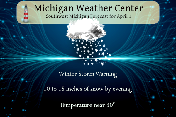
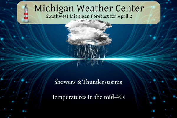
We have expectations of a major winter storm moving into SW Michigan today. Over a foot of snow will fall especially in the lakeshore counties and one county inland. Winds will gust to near 30 mph bringing hazardous driving conditions to those areas. There is an outside chance of thundersnow and a snowado. This will […]
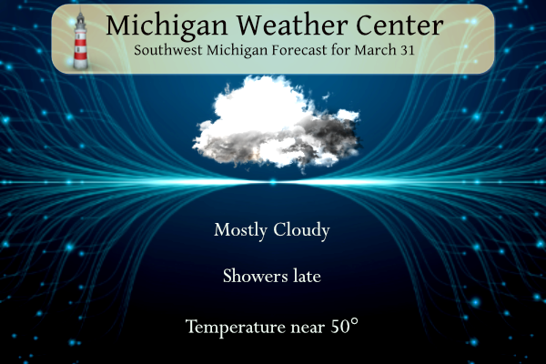
Another month has passed in 2024. April begins tomorrow and dreams of future gardens come to mind. I have begun to order my heirloom seeds to start tomato plants inside and my mouth is watering already. Nothing beats the taste of fresh tomatoes rather than the hothouse ones bought in the store. Mostly cloudy skies […]
Our temperature at 5 am is 23°. We reached 46° yesterday with partly to mostly sunny skies. Today we will see mostly sunny skies with highs in the mid-40s and 50s. Rain returns tonight with areas along and north of the Ludington to Mount Pleasant line having a chance to see a period of freezing […]
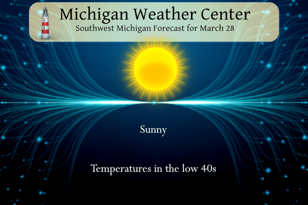
We have 23° at 7 am this morning. Today we will see sunny skies and temperatures in the low to mid-40s, which will be an improvement from yesterday. We have had quite a temperature range so far this year from -8° on the early morning of January 14 to 75° on February 26. NWS Forecast […]
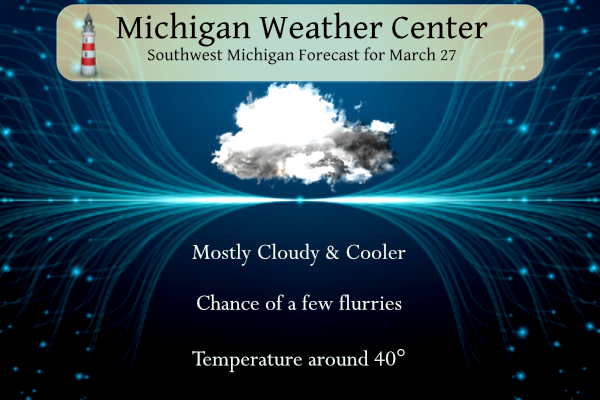
Yesterday we had a high temperature of 63° before the cold front moved through and brought some severe storms through the area prompting a severe thunderstorm warning. We had some high winds and heavy rain. Mostly cloudy skies are expected today with highs around 40. West winds will be in the 12-17mph range with a […]
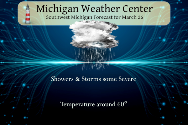
SPC Forecast NWS Forecast Tuesday Showers are likely, then showers and possibly a thunderstorm after 2 pm. High near 60. Windy, with a south wind of 23 to 32 mph, with gusts as high as 47 mph. The chance of precipitation is 90%. New rainfall amounts between a tenth and a quarter of an inch, […]
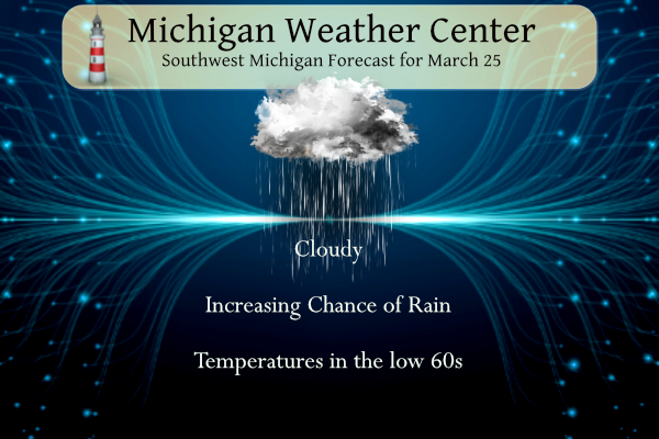
We have a classic spring day in store with warmer temperatures and increasing chances of rain. Temperatures will warm to the low 60s. SPC Forecast NWS Forecast Today Mostly cloudy, with a high near 62. South southeast wind 13 to 16 mph, with gusts as high as 32 mph. Tonight Showers, mainly after 11 […]
Yesterday we had my brother’s (Greg Morris) memorial service (celebration of life) who passed away last December. I would once again like to thank the ladies who set up the potluck pastor Jeremy for opening up their church to us and Jeff Lancaster who helped set up the event. The reason it took so long […]
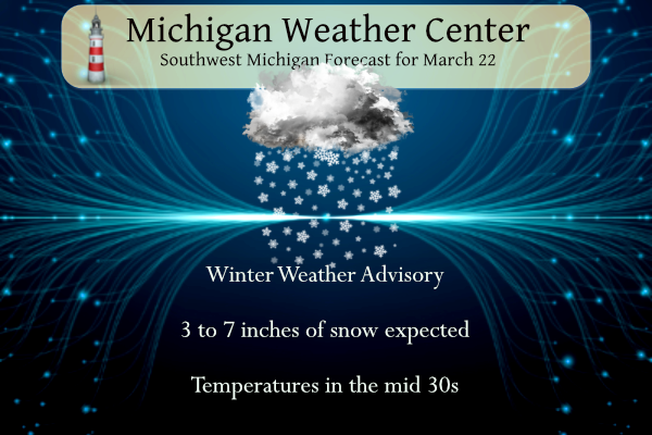
…WINTER WEATHER ADVISORY REMAINS IN EFFECT UNTIL MIDNIGHT EDT TONIGHT… * WHAT…Snow expected. Total snow accumulations of 3 to 7 inches. * WHERE…Portions of central, south central, southwest and west central Michigan. * WHEN…Until midnight EDT tonight. NWS Forecast Today Snow showers. High near 37. East wind 7 to 11 mph. The chance of precipitation […]