We are now closing out January which has been our snowiest month of winter thus far. We are at 2.5 inches from the system which is now passing through (at 4 am). This brings us to 13.5 inches for January and 19.2 inches for the season (these are Otsego measurements), most of which fell from […]
February On Monday we will flip the calendar to February. During February at Grand Rapids Daily high temperatures increase by 7°F, from 31°F to 38°F, the average lows increase from 18 to 22. The record high is 69 set on February 11, 1999, in 2nd place is 67 in 1930 and 1976 and in 3rd place is 66 in 2017. The […]
We have a full moon this morning peeking out from a thin veil of clouds, temp is 16° at 5 am. We will have a tranquil weather pattern through tomorrow with slightly below normal temps. We have a chance at our first below zero temps in the north-central regions of lower Michigan from Muskegon northwards […]

Some wonder when the Mets say it is going to be partly cloudy or partly sunny what it means exactly. Here is the NWS terminology: Partly Cloudy Between 3/8 and 5/8 of the sky is covered by clouds. Partly Sunny Between 3/8 and 5/8 of the sky is covered by clouds. The term “Partly Sunny” […]
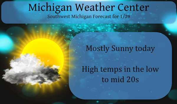
First up let’s look at yesterdays snowfall totals: We had two inches here in Otsego, not a lot but enough to freshen up the ground cover. We have a cold morning with a temp of 17° at 6 am. We should see some sun today with temps recovering into the mid-20s. In my lifetime I […]
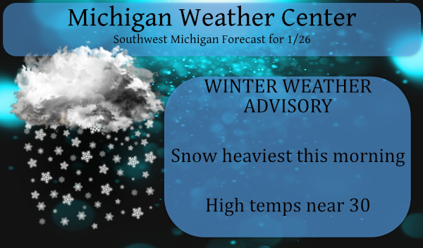
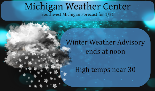
We have had perhaps a half of an inch of snow thus far (at 6:30 am). The main area of snow is mostly along the lakeshore south of Grand Rapids and along I96 to the north. Snow bands continue to move through Southwest Michigan this morning. The heaviest snow is expected before and during this […]
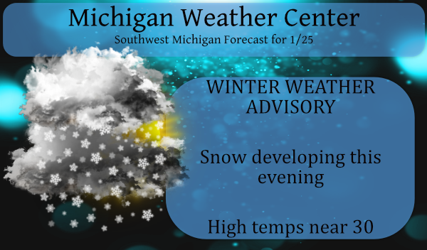
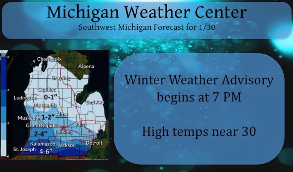
Our next snow system is working its way towards Michigan and will be moving in later this evening. This is not a major snow event but will create a blanket of shovelable snow. Up to five inches or so will fall mainly south of 196 with lesser amounts north. The NAM gives Grand Rapids and […]
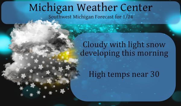
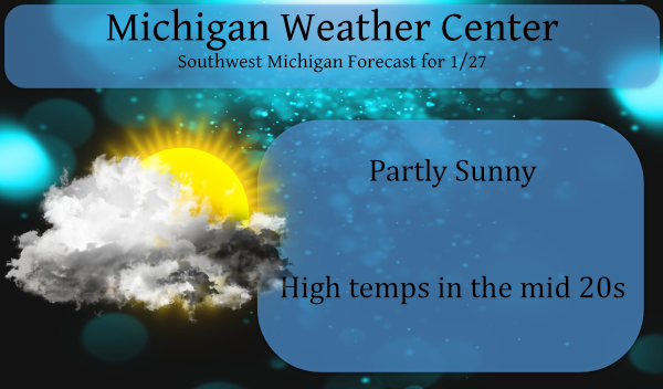
Light snow will develop this morning with the largest amounts in north-central lower Michigan. Amounts will range from an inch or less along I-94, to 2 to 3 inches up toward through central Michigan. Roads will likely become snow-covered and slick this morning. After today’s snow or lack thereof we will turn our attention to […]

Record low snow winter. Of course, we will not know for sure how much snow this winter will have (as of today it is 9.4”) But at this time the winter of 2020/21 is running very similar to the winter of 1905/06. For November, December and up to Friday AM I will give you a […]
I am sure it has become apparent to all this winter has been much less than normal. Even if we return to a ‘normal’ snow pattern we will never reach our average snowfall for the season unless we have a couple of major snowstorms and tons of lake effect on top of that which to […]