Yesterday we reached 79° with rain and storms moving in around midnight. We ended up with .51 of an inch of rain.
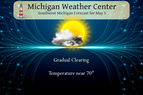
Today we will see gradual clearing with high temperatures around 70°. Tomorrow should be mostly sunny with highs in the low 70s then the rest of the week is unsettled.
SPC Outlook for Tuesday

NWS Forecast
Weather History
1895: An early season heat wave peaks with record highs of 96 degrees at Grand Rapids and 92 at Lansing. The 96 degrees at Grand Rapids is a record for so early in the season.
On May 5, 2003, an F1 tornado hit outside of Leonard in Oakland County. There were also many reports of hail ranging from 0.75 inches to 0.88 inches throughout the cities of Linden, Flint, Fenton, Grand Blanc, Thetford Center, Burton, and Davison. Some of these places also reported wind from 70 to 75 mph.
1933: An estimated F4 tornado cut a 35-mile path from near Brent into Shelby County, Alabama. The town of Helena, AL was especially hard hit, as 14 people died. The tornado roared through Helena at 2:30 am.
1987: Unseasonably hot weather prevailed in the western U.S. A dozen cities in California reported record-high temperatures for the date. Afternoon highs of 93 degrees in San Francisco, 98 degrees in San Jose, 100 degrees in Sacramento, and 101 degrees at Redding were the warmest on record for so early in the season. The high of 94 degrees at Medford, Oregon was also the warmest on record for so early in the season.
1995: A supercell thunderstorm brought torrential rains and large hail up to four inches in diameter to Fort Worth, Texas. This storm also struck a local outdoor festival known as the Fort Worth Mayfest. At the time the storm was the costliest hailstorm in the history of the US, causing more than $2 billion in damage.
Forecast Discussion
- Dry and mild through early Tuesday

We continue to see the line of showers and storms from earlier
steadily lose their steam as they progress to the east early this
morning. They have lost just about any kind of diurnal instability
they had earlier, and the outflow from the line raced out ahead of
the actual showers and storms. In addition, the already weak support
aloft with the weak short wave is gradually diminishing with the
short wave weakening.

The sfc front as of 07z/3 am EDT has made it roughly to the U.S.-131
corridor. Even with the widespread rain diminishing and moving east,
there remains a small chance of a pop up shower until this front
moves through. The front should be east of our area over the next 2-
3 hours, which will then end the rain chances.

High pressure will build in over the area through early tonight, and
will slip east of the area on Monday. We will see the atmosphere dry
out and winds diminish as it moves overhead. Winds will then pick up
from the East on Monday on the SW flank of the ridge. Temperatures
will be a bit cooler today by around 10 degrees behind the front,
but will still be around or just barely above average in the mid to
upper 60s. We will then see some recovery on Monday as temps aloft
warm a bit with return flow taking place.

- Frequent chances for Rain Tuesday through next weekend

AN upper low across the northern Rockies on Tuesday will merge with
a northern stream longwave trough across the Great Lakes by the end
of the week. The persistent troughing will result in chances for
showers much of the week into next weekend.

The best chance for rain will be on Tuesday afternoon as an occluded
front moves through and again on Wednesday night and Thursday in an
area of frontogenesis north of a low pressure center tracking across
southern Lower Michigan,

A cool Canadian airmass moves in for the end of the week and we will
have to watch for frost potential if skies clear out Friday night.
The upper troughing could result in lapse rates steep enough to
bring some diurnally driven showers Friday and Saturday afternoons.
We actually had a Severe Thunderstorm Warning in West MI last night for Kzoo, Calhoun and Barry Counties. I don’t think any damage was reported. The storm actually tried to rotate with a “tornado possible” tag in the warning but it never got organized enough.
The lightning and thunder were quite something last night
I don’t think we had any action here. The pavement was wet this morning, though. Just finished 18 holes with m my son. It drizzled a bit around 10a. Other than that, just cloudy but pleasant.
The overnight low here in MBY was 53 there was 0.07” of rainfall. The current temperature is 53 with cloudy skies.
Slim
The official H/L yesterday was 78/53 there was 0.15” of rainfall the sun was out 34% of the possible time. The highest wind gust was 23 MPH out of the W. For today the average H/L is 66/45 the record high of 89 was set in 1959 the record low of 28 was set in 1983. The most rainfall of 1.73” fell in 1976 the most snowfall of 0.3” fell in 1954. Last year the H/L was 73/46.
Slim