Yes, winter has arrived! We have some light snow moving through the area early this morning which is just a slight taste of what may be coming tomorrow. We have 3.2 inches of snow for January thus far and 12.7 inches since November 1st (in Otsego). We will see a brief period of snow this […]
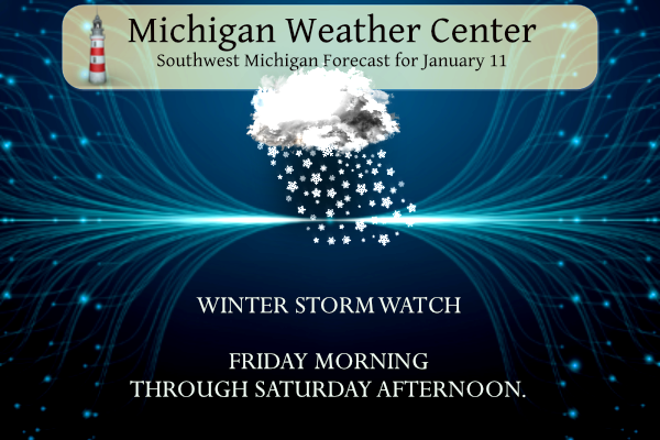
Mixed precipitation will impact the region near and north of I-96 Friday night into Saturday night with areas of freezing rain and snow. South of I-96, rain is expected. …WINTER STORM WATCH IN EFFECT FROM LATE TONIGHT THROUGH SATURDAY AFTERNOON… * WHAT…Snow. Some light freezing rain possible as well. Total snow accumulations of greater than […]
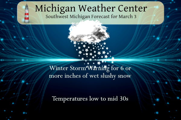
Well, we finally have things narrowed down for the storm this morning, so let’s get down to it. Winter Storm Warning …WINTER STORM WARNING REMAINS IN EFFECT FROM 2 PM THIS AFTERNOON TO 4 AM EST SATURDAY… * WHAT…Heavy, wet snow expected. Total snow accumulations of 6 inches or more, with isolated amounts around 10 […]
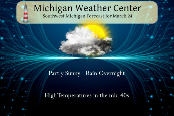
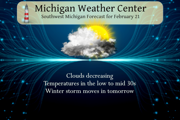
February was sunnier and warmer than normal with more rain and less snow. Yesterday we reached a very nice 56° with partly cloudy skies in Otsego. Today will be the calm before the storm. A storm system will move into Lower Michigan for Friday, bringing primarily snow but some light freezing rain could mix in […]
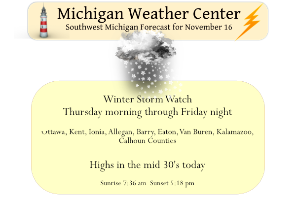
The title of this post pretty much sums it up, enjoy today for tomorrow brings a plethora (a very large amount of something, especially a larger amount than you need, want, or can deal with) of unpleasant weather into the area. Here is a summary of the current winter storm watches for the area: Allegan-Barry-Eaton-Ingham-Van […]
I am putting on hold our weekly weather history post because of the storm bulletins we have in place. It is better to be prepared than not when the NWS prognosticators tell us the weather will be frightful in the coming days. I have been through the blizzard of 1978 and multiple snow events in […]
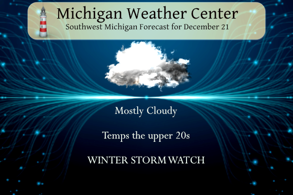
We received two inches of snow yesterday which brings us to three inches thus far for November. Yesterday’s high was 34° and the low was 27°. The heavy snow has moved into the extreme SW corner of the state where there is a winter storm warning through tomorrow at 10 am where a foot or […]
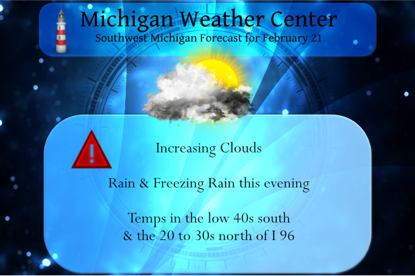
Yesterday we had a sunny warm day with a high of 49° after recovering from a low of 11.5°. We have a large variation in temperature setting up for today which will set up the demarcation zone between rain and freezing rain: We have an interesting weather pattern shaping up beginning this evening. Below […]
We lost a lot of snow cover yesterday and overnight. Yesterday’s high was 48° and the low was 31°. We have had .68 of an inch of rain so far today (this is the digital reading, not the ‘official’ analog reading). We have multiple hazards for today. …FLOOD ADVISORY IN EFFECT UNTIL 430 PM EST […]
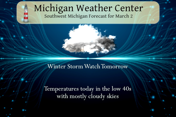
We have a hodgepodge of watches and advisories to sort out this morning as the NWS tries to bring the current approaching storm into focus. At this time a winter storm watch will begin at 10 am tomorrow for areas south of a line from South Haven to Lansing which include Eaton, Ingham, Van Buren, […]