Summer Heat Advisories With the recent hot weather we had this past week I will post some information on different summer heat issues. Heat Advisory Issued within 12 hours of the onset of the following conditions: heat index of at least 105°F but less than 115°F for less than 3 hours per day, or nighttime […]
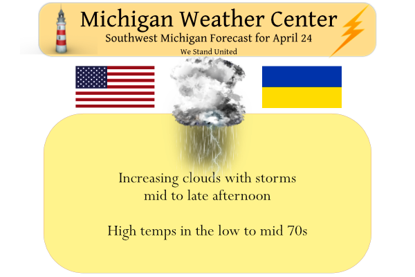
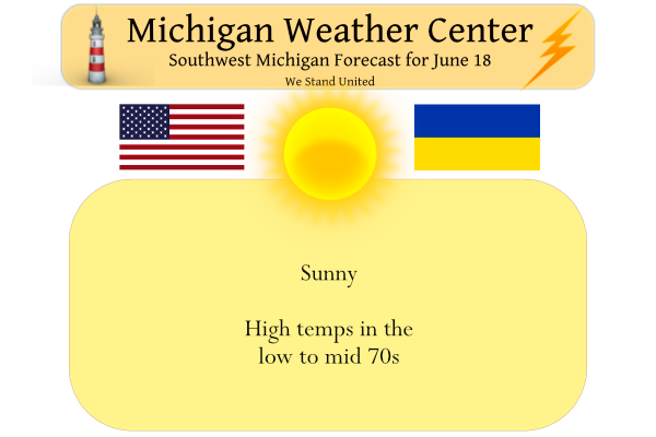
We have a warm 68° at 5:30 this morning. Yesterday’s high was 84° after a low of 47°. Today we will see another warm day before we transition back to a cooler weather pattern. Clouds will be on the increase during the mid to late morning. Thunderstorms are expected to cross the area this afternoon […]
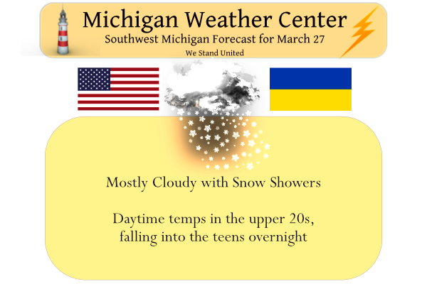
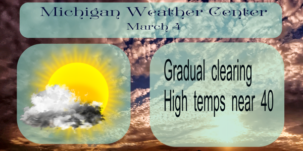
Yesterday we reached a high of 34° after a low of 26°. Snowfall was .2 of an inch. We could see some more flurries today, the happy news is we are predicted to start clearing out of this dreary pattern later today with a promise of sunshine tomorrow. Even better, air temps should start rising […]
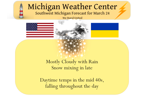
The warmer temps and rain have caused the grass to start greening up and the early spring flowers to poke up from the ground. We have crocuses blooming in the flower beds. We have had .65 of an inch of rain from this slow-moving low-pressure system thus far in Otsego. Temp is currently 44° at […]
We have a state-wide tornado drill at 1 pm this afternoon. This is part of Severe Weather Awareness Week from March 20 to 26. You may hear the sirens go off in your town or city and broadcast media including NOAA Weather Radio will broadcast test alerts. This is a good time to have a […]
We reached 60° yesterday for our high temp. Our high for today was at midnight with 53° with another rain total in the hundredths of an inch. Overall a blustery damp day is in store with a good deal of cloud cover hanging in across the area. Thinking we may see some wind gusts this […]
This is Severe Weather Awareness week and that time of the year to be provided with the reminder of how to stay safe during severe weather events. Spotter training will be held virtually this year by our friends at the Nation Weather Service from the NWS office in Grand Rapids. Our Spotter training can be […]
At 2:08 p.m. EDT (1808 GMT), the moon will arrive at its closest point to Earth in 2020: a distance of 221,772 miles (356,907 kilometers) away. And 8 hours and 35 minutes later, the moon will officially turn full. Although a full moon theoretically lasts just a moment, that moment is imperceptible to ordinary observation, […]
Yesterday you may have heard your city sirens go off at 1 pm for the Michigan Statewide Tornado Drill. Due to Covid, we haven’t had our Skywarn classes across the state which teaches pretty much all the aspects of storm safety. I have the Skywarn booklet here for you to read. The page also includes […]
After the deadly tornado outbreak in Tennesee Monday night, I figured it is time to post an article on the history of the deadliest in the U.S. plus some other stats. Matt Suter of Fordland, Missouri holds the record for the longest-known distance traveled by anyone picked up by a tornado and survive. On March […]