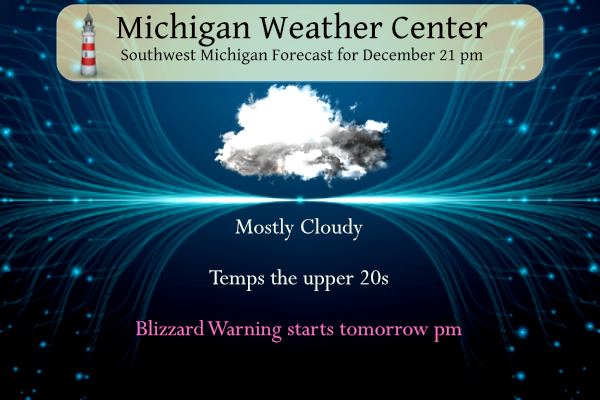
Be Prepared – I learned this long ago in Boy Scouts. This will be a two-day event beginning tomorrow (Thursday) from 4 pm to 7 pm Saturday. You have 24 hours to get prepared to hunker down. The Blizzard Warning covers the two-county tier inland from Lake Michigan. A Winter Storm Warning will be in […]
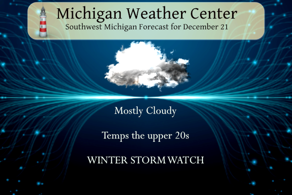
I am putting on hold our weekly weather history post because of the storm bulletins we have in place. It is better to be prepared than not when the NWS prognosticators tell us the weather will be frightful in the coming days. I have been through the blizzard of 1978 and multiple snow events in […]

Yesterday we had a high of 27° and the low was 23° with cloudy skies all day. Now it is time to start the guessing game of the storm track for the end-of-week storm. A surge of Arctic air behind a cold front crossing the U.S. through the week will bring widespread, dangerous wind chill […]
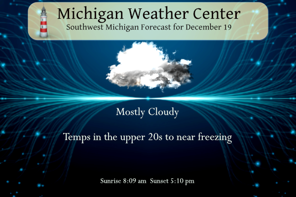
Yesterday was cloudy with a trace of snow. The low was 23° and the high was 27°. We have another cloudy, gloomy day is in store with temperatures remaining below freezing for SW Michigan. All eyes are now on the development of a storm system coming at the end of the week. I ran GFS […]

We added 2.7 inches overnight to the 3 inches we had early yesterday morning which brings us to 9.4 inches for the month and 33.4 inches since November 1st. Areas from South Haven to Grand Rapids received 15 to 19 inches! This goes to show that wind direction is a factor in lake-effect snow depths. […]
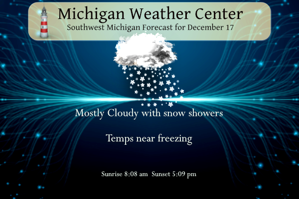
Back when I was a kid one of the family traditions, we had was decorating the Christmas tree on December 18th. Ok some years it might have been a day or two before the 18 but the 18 was the day on most years. That was the day my mother’s family had handed down to […]

This is a new widget I am trying out which shows the current wind direction, speed, and surface temperatures. This also has a slider at the bottom as a future cast out to 36 hours. This should show how the lake effect will move in from Lake Michigan and where it will fall. We have […]
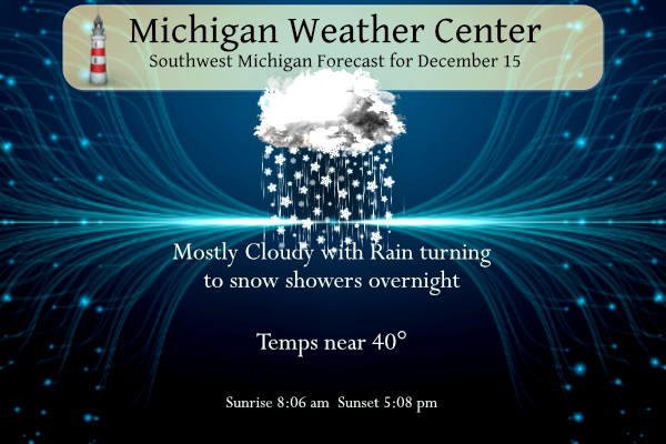
Yesterday we had a low temp of 32.5° and a high of 43°. Today will be our last warm(ish) day for a while with temps near 40 or so in SW Michigan. The winter weather advisory for the counties north and east of Kent county remains in effect until 9 am. I suspect we will […]
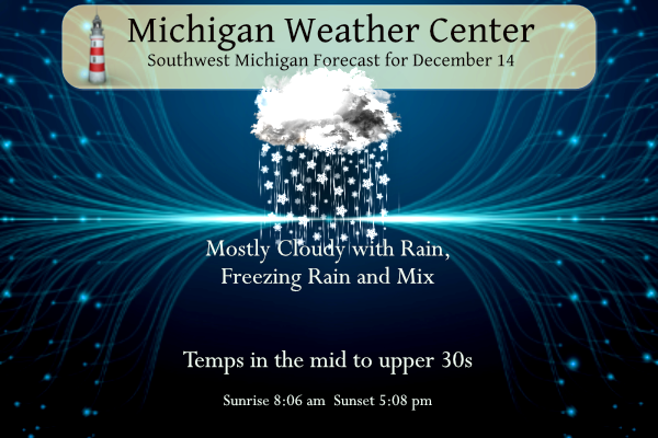
Yesterday our low was 31.5 and the high was 35. We had a brief period of partly sunny skies in the afternoon. We have a Winter Weather Advisory for Oceana, Newaygo, Montcalm, Gratiot, Mason, Lake, Mecosta, Osceola, Claire, and Isabella Counties beginning at 4 pm today expiring at 7 am tomorrow morning. It is for […]
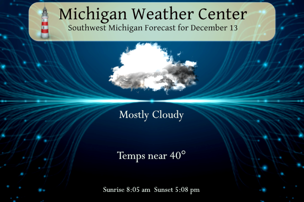
Yesterday we had only a three-degree temperature difference between the high and low in Otsego. The high was 36° and the low was 33° with no precipitation and of course all clouds and no sunshine. It will be dry today with gray skies once again. Highs will top out in the middle the to upper […]