Yesterday we reached 71° and had .21 of an inch of rain which brings us to 3.75 inches and will be our total for the month of April.
NWS Forecast
Weather History
1962: Several tornadoes struck southern Lower Michigan. A fire station was damaged in Lansing and a building was destroyed in Grand Ledge. Another tornado struck south of Ypsilanti destroying a barn and damaging two houses.
On April 30, 1962, 2 simultaneous F1 tornadoes hit Washtenaw County at 6:00 pm.
On a dry weather note, the date concluded one of the driest (4th) April on record in 2004 when just 0.69″ of precipitation fell (0.70″ at Flint made April 2004 the second driest on record). One has to look back nearly a century to find a drier April (0.66″-1915) in Detroit.
1888: 246 people died in the world’s deadliest hailstorm in India. Hailstones were reportedly the size of baseballs. 1600 domesticated animals at Moradabad perished.
1924: A significant tornado outbreak occurred from Alabama to Virginia on the 29 through the 30th. 26 tornadoes were of F2 intensity or greater. A total of 111 people were killed, and over 1,100 injured. An estimated F4 tornado tore through Steedman and Horrell Hill, SC. This tornado killed 55 people.
1953: An F4 tornado 300 yards in width leveled homes on the north side of Warner-Robins Georgia, and barracks on the south side of the Warner-Robins Air Force Base. 19 people were killed and were 300 injured. Estimated damage was $15 million.
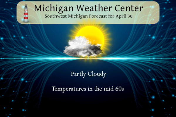
Forecast Discussion
A surface cold front continues to sweep through lower Michigan early
this morning with high pressure filling in on the backside. Clouds
exit from west to east this morning and the timing of the cloud
exodus will be the largest deciding factor in how cold
temperatures drop this morning. The edge of the cloud deck is now
clearing east of our western CWA where temps look to drop in the
low to mid 40s. Lows in the mid 50s are expected further east
where the cloud shield overhead will exit a little later.

Tuesday stays dry under high pressure, then a low chance for rain
Wednesday morning as a surface low traveling through Wisconsin
diverts northeast into the UP and Lake Superior. A weakening cold
front will bring chances for light rain Wednesday morning, but
forcing dwindles as the front moves into lower Michigan. Cloud cover
will increase as the front travels through while any appreciable
rainfall stays north of the CWA. High pressure fills in Wednesday
leading to continued dry weather.

- Above Normal Temperatures into Next Week

Positive height anomalies prevail into early next week as the
primary area of upper level troughing favors the Northern Plains
region. Seven day total QPF progs would indicate that the most
active/wet weather stays west of Michigan closer to that trough.
High temperatures will be 70s each day although it will be cooler at
times near Lake Michigan.

- Best Chance of Showers and Storms is Friday

While pops are currently contained in numerous forecast periods
through early next week due to a wavering baroclinic zone, the best
chance of showers and storms currently looks to be on Friday. This
is when a more humid warm sector air mass with PWATs over one inch
will be in place as a sfc cold front and shortwave comes through.

In later updates we may be able to trim out some of the 20-30 pct
pops beyond Friday. It`s doubtful that there will be shower chances
as frequent as what is currently indicated by the NBM.
This has been a really good spring compared to some other years. All 70s to start May… not complaining!
Oh, I forgot to ask. Did you westsiders get an amazing sunset last night like we did? It was gorgeous here.
It was gorgeous! I also saw a rainbow BEHIND two cloud banks. First time I’ve ever seen that I believe.
April will mark our 5th warm month in a row. The heat won’t stop.
My yard is squishy and soggy. I am happy the next couple of days will help to dry it out.
Must have gotten a lot of rain while I was away. I noticed some standing water in the fields in Ingham county when I went through that area.
New car day. I have broken down and bought a new SUV with all of the new gadgets on it. We will be picking it up later today. I will get some how to programing at the dealership but will still need to “program” it over the next few days. It is my 1st car with a lot of the new technology on it.
Slim
Congrats!!!
My wife got a new one last year. The amount of tech is incredible.
Here in MBY I recorded 0.51” of rainfall yesterday and the overnight low here was 45. At the current time it Is clear and 50.
Slim
The official H/L yesterday at Grand Rapids was 70/53 there was 0.21” of rainfall. It was yet another windy day with a average wind speed of 10.5 MPH and a peak gust of 35 MPH out of the SW. The sun was out 21% of the time. For today the average H/L is 64/43 the record high of 87 was set in 1894 and 1942. The record low of 26 was set in 1971 and 2008. The wettest and most snow fall was in 1963 with 1.85” that fell as 3.6” of snow. Last year the H/L was 50/39..
Slim
Back from Washington DC this morning. What a fun time. There is so much to see. We were busy and having fun everyday. I was very shocked at just how large the capitol building was. We may take another trip to go see more at a later date this year since we didn’t have enough time to see everything while were there.
Anyways, the woods is definitely thicker than when we left. In DC it looks like how it does here in summer.
The summers are long and hot and humid in the DC area.
Slim
Kyle,
Did you get so see the Cherry Blossoms while you were there???
Our daughter was in DC 4/10 – 4/14. She had just missed the prime time. They were still there but kinda droopy and not very vibrant.
The blossoms were done when we were there sadly. I’d like to see them sometime though!