With rising temps, more sunshine, and longer days we are closing out meteorological winter with a whimper (ie nothing exciting in the forecast today). The woodchuck which lives under my shed has been out and about this past weekend which is a sure sign spring is upon us. We are still on track for temps […]

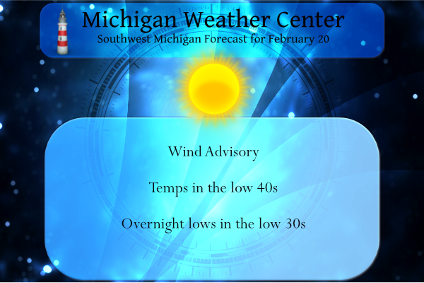
Yesterday we had a high of 31° and a low of 21° with lots of sun to take the edge off. The northern lower peninsula has the best chance of a few flurries early this week but with fairly dry air in place most of the week they won’t amount to much. We are moving […]
Next Tuesday we flip the calendar to not only March but to the start of meteorological spring. While we can swing between some mild days and some cold one’s daylight is getting longer and here in Grand Rapids we gain 1hr and 31m of daylight in the next 31 days of (March). With start […]
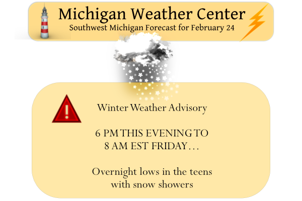
Light snow is moving out of SW Michigan early this morning and the advisories will expire at 8 am. We received 2 inches here in Otsego which brings our February total to 23.4 inches and 54.4 inches for the season. Yesterday’s high temp was 29° and the low 18°. A dry, quiet weather pattern is […]
Yesterday’s we had a high of 26° and a low of 20°. We are now at that time of year we should start seeing temps creep up to springtime levels with fewer incursions of cold air. Sure we will see a few bumps in the road, things will be looking up for those of us […]
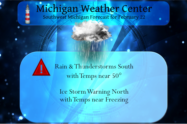
We had .81 of an inch of rain yesterday which gives us 3.79 inches of rain and melted snow for the month. We had a dusting of snow overnight. The high temp yesterday was 51° and the low was 26°. We have 25° at 4 am. The only hazard we have this morning in the […]
…ICE STORM WARNING REMAINS IN EFFECT UNTIL MIDNIGHT EST TONIGHT… * WHAT…Significant icing. Snow and sleet accumulations of up to one inch and ice accumulations of two tenths to four tenths of an inch. * WHERE…Portions of Northern Lower Michigan. * WHEN…Until midnight EST tonight. Benzie-Grand Traverse-Kalkaska-Crawford-Oscoda-Alcona-Manistee-Wexford-Missaukee-Roscommon-Ogemaw and Iosco counties are included in the warning. […]
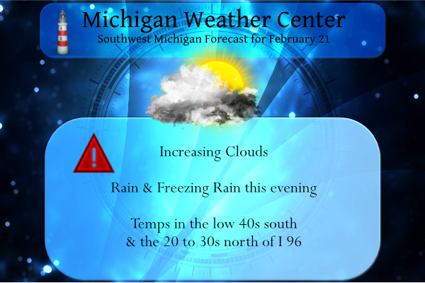
Yesterday we had a sunny warm day with a high of 49° after recovering from a low of 11.5°. We have a large variation in temperature setting up for today which will set up the demarcation zone between rain and freezing rain: We have an interesting weather pattern shaping up beginning this evening. Below […]
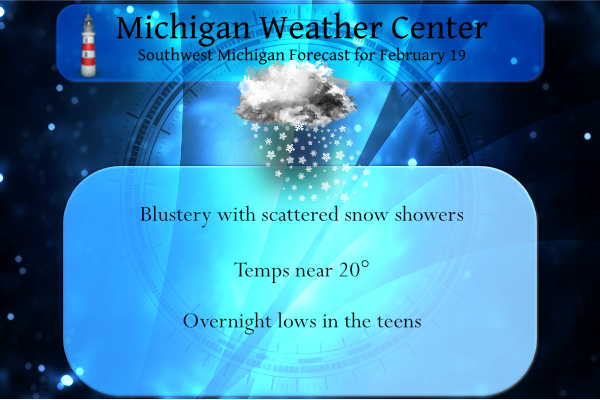
Yesterday we had 1.1 inches of snow which give us 21.4 inches for the month and 52.4 inches for the season. We are already a foot over last winter’s total and we have had an inch of snow or more on the ground since January 2nd. Yesterday’s high was 31° and the low was 10°. […]
Last week I looked at the great cold spell of February 1899. This week I will look at the warmest days of February in what I will call the 60° club. The temperature at Grand Rapids has gotten to 60 or better in 14 February’s. The record warmest day in February is 69 on February […]