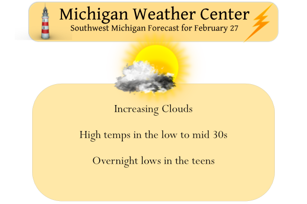
Yesterday we had a high of 31° and a low of 21° with lots of sun to take the edge off.
The northern lower peninsula has the best chance of a few flurries early this week but with fairly dry air in place most of the week they won’t amount to much. We are moving towards our transition to meteorological spring so I suspect cold air intrusion will become less frequent as time moves on with more zonal patterns rather than the jet bringing down cold air from Canada. We may see high temps near 50° by Saturday however rain is in the picture along with it.
Forecast Discussion
- Only light snow chances this week with fast moving clippers

The northern stream dominates the next few days with fast
northwest flow between western ridging and an upper low over
eastern Canada. A low moves across southern Canada today with
trailing cold front extending through the Great Lakes. There is
very little moisture to work with and only flurries across the
northern zones are expected with this.

A clipper then tracks across central or northern Lower Michigan
on Monday night with light snow possible across the northern
zones, closer to the sfc low track. Fast northwest flow brings
another clipper for Tuesday night into Wednesday with another
chance of light snow.

- Storminess next weekend

There is a signal for a more significant storm next weekend after
the western ridge breaks down and is replaced with troughing.
Current model agreement of a sfc low tracking over or west of
Lower Michigan will have to be watched. Similar forecasts of lows
evolving as currently forecast the past few weeks have inevitably
trended to a weaker and further south and east track as the event
approached.
This system for next weekend looks like a fun one to watch. Either we will get a taste of spring with some warm air and storms or potentially even a cold rain or even an ice storm. The latest 18Z run of the GFS shows freezing rain for central and northern zones. Of course it’s way to early to pin point what exactly will occur. That is March for ya!
No ice storm please.
Spring 2022?…Late May at best…
Late May is summertime! lol!!
Let it melt, let it melt, let it melt!!! Wow just WOW!!
Sounds like Spring is just around the corner. 🙂
Absolutely Sandy!
What?!?!! Warm temps and possible thunderstorms next weekend?? How could that be with all the cold weather delusions on here?? The cold weather crazies said we were supposed to have snow til the end of June!
Per Woodtv: NEXT WEEKEND A storm system will move into the Great Lakes, bringing rain showers and warmer temperatures for next weekend. At some point we could get a thunderstorm. Temperatures look like they will briefly reach the low 50s Saturday night or early Sunday. It could be the warmest we’ve been since Christmas Day.
Big RAIN storm coming next weekend get prepared now!!
And just like that most of the snow is gone and WOOD has every day above freezing going forward – including a day at 50 degrees. I love it!
The average high today is 37.4 and by next Sunday the average high is 40.2 so really it is just around average for this time of year.
Slim
Slim with facts again …Thank you …InDY
I am looking forward to it too!
Even thought the official high at Grand Rapids was only 29 yesterday (I had a high of 33 here) the full late February sun sure did the trick on the snow that was on the ground. Areas that are in the shade are the only ones that now have a snow cover. Areas that were in the sun yesterday now have a lot of bare ground showing with just the snow piles still there. The overnight low here was 26 before midnight and it held steady around 28 all night. At this time it is partly cloudy here and 30.
Slim