
Temperatures are 30° colder than they were this time yesterday morning, the ground is white once again. We have a winter weather advisory for central, south central, southwest and west central Michigan through 1pm today mainly due to the flash freeze with sleet freezing rain and snow – snow accumulations will be around a couple […]
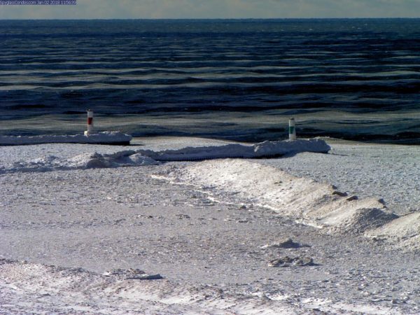
Didn’t put up the weather history last week when I was on vacation – I will present this weeks today then proceed with the forecast information. December 31 1875: The year ends on a remarkably balmy note. At Lansing, the high temperature of 70 degrees is the highest ever recorded in the month of December. […]
Bill Steffen mentioned in his blog yesterday about a quote from Dr. Judah Cohen in regards to the cold air remaining in the long term. At this time there is nothing upstream in the near term to disrupt the current pattern we are in. “Latest CFS runs predict three straight months of ridging near Alaska […]
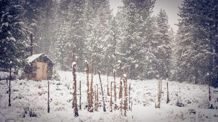
The temperatures have been hovering at -2° early this morning here in Otsego with negative numbers being pretty consistent across SW Michigan with the exception of the lakeshore where they have been above 0°. Temperatures in the northern lower and the U.P. are in the double digit negative numbers. Looking at the long range it […]

Definitely a white Christmas over most of the area. We had a quick dump of snow when the lake effect band moved on shore early this morning. Kalamazoo is reporting 5 inches, we have about 4 inches here in Otsego. The lake effect bands are starting to set up as of 7am, though weak at […]
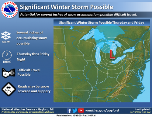
I have been watching the models the past couple days showing a storm system coming through the state wondering where the rain/freezing rain/snow lines would be as the models changed nearly every run. The main idea is that there will be a front coming through Thursday and Friday into early Saturday. For the period Thursday […]
First up – another winter weather advisory for the counties along the lake shore and one county in. A burst of lake effect snow will move through the area from early this morning into this afternoon. Plan on slippery road conditions, including during the morning commute. Snow accumulations of 1 to 3 inches are expected. […]
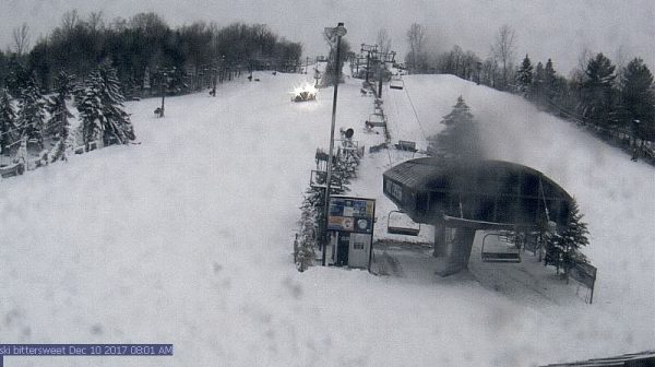
4 PM Update WINTER STORM WARNING IN EFFECT TO 7 AM EST WEDNESDAY for Mason, Oceana, Muskegon, Ottawa, Allegan and Van Buren Counties. Heavy lake effect will develop tonight. Travel will be very difficult including during the morning commute on Tuesday. Snow accumulations of 9 to 13 inches, with localized amounts up to 17 inches, […]

I look at a lot of models every day but mostly I use the Hi Res, Nam and GFS for my forecasts. Once one begins mixing in the European forecast models things take a turn towards more head scratching in long range forecasting. The Atmospheric and Environmental Research graphic above for December-January-February is what is […]