
There are some disagreements with forecast models as to what our weekend forecast will be for Labor Day weekend though the GFS has been consistent with some kind of moisture around the temps have been warmer than what was considered earlier this week keeping us in the low to mid-70s. The Euro tries to bring […]
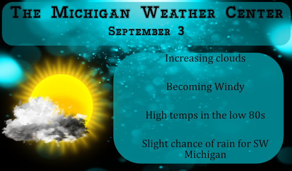
Here in SW Michigan, we look at the wind and wave reports to give us an idea whether or not to go out on the big lake for a swim. Today the worst of the wind will be on Lake Superior where there are gale and lake warnings: (1 knot = 1.15 mph) …STORM WARNING […]

We have some more showers moving through this morning as a continuation of the wet beginning of our Met fall. We picked up .26 of an inch yesterday and overnight in Otsego with a warm 67° at 6 am. After the heat of this past summer, many will be in for a shock when Labor […]
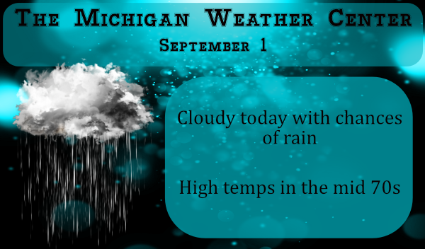
We say a sad farewell to meteorological summer today and look toward a fall that is now upon us. New outlooks from the CPC shows expectations of a cooler than normal September – just goes to show how model data can change from day to day. Generally we see a cool down during fair week […]
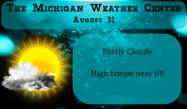
Well, we all knew it was coming with the days becoming shorter and cooler nights due to the lower azimuth of the sun. The autumnal equinox doesn’t begin until September 22. Today is the end of meteorological summer. Today the sunrises at 7:07 am and sets at 8:18 pm in Otsego. By the end of […]
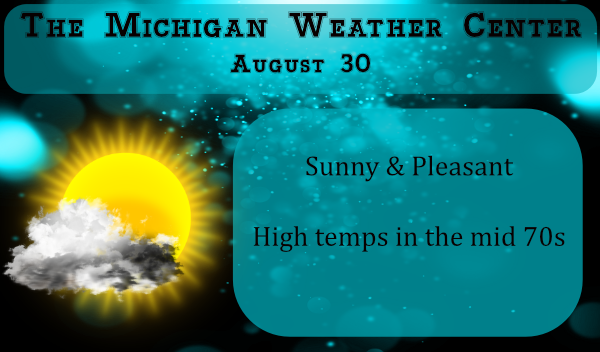
We had copious amounts of rain in the Otsego/Plainwell area Friday through Saturday morning. We had 3.26 inches here at the station which brought our total to 5.29 inches for the month of August and is now the wettest month of the summer. We are now at 11.68 inches for the season. Below are the […]

The various models I have looked at are all over the place in precipitation accumulation for today probably because it is hard to guess where the heaviest storms may develop. The NAM NEST is guessing the cold front will move through this evening around sunset thus we have chances of storm development any time today. […]

We are now coming into a more active weather pattern which will be a welcome change after the warm dry period we have been experiencing much of the summer. For many areas, this will be the first decent rainfall we have seen since around the 11th. In our area, we have had only three times […]

We managed a mere .10 of an inch of rain yesterday which brings us to 2.03 inches for August. There is a large area of rain moving through the eastern half of the state this morning from the Straits down to Detroit. Nothing for SW Michigan. We have an Air Quality Alert for Muskegon, Ottawa, […]
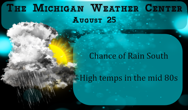
We have an area of rain and storms moving S.E. out of Wisconsin across the lake this morning. Should it all hold together SW Michigan should see a wet period through the morning hours. The SPC has southern Michigan in the marginal outlook area for severe weather for today. Point forecasts for SW Michigan are […]