Yesterday we had a temperature difference of 4° between our high and low. The high was 64° the low was 60°. According to my digital rain gauge we had .25 of an inch yesterday, I haven’t checked the analog gauge, it is too early to run outside at 4 am. Today should remain dry with […]
Our summer-like weather pattern continues today and appears to want to continue on into next week. I can’t help but think we will pay for this as we move into late October into November as Michigan is known for extreme weather changes. For now, we will enjoy our extended summer even though the dry sunny […]
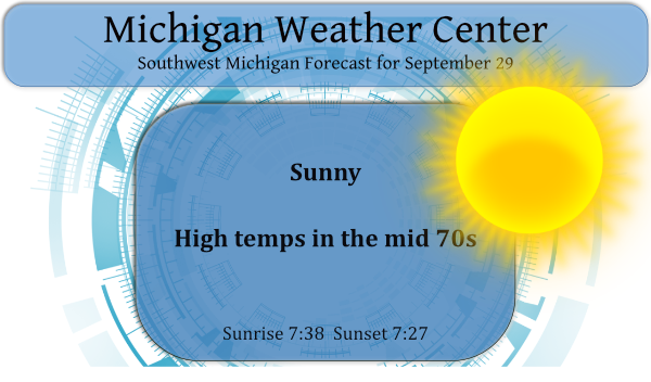
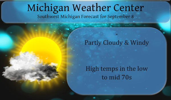
High pressure will continue to dominate our weather today. Dry weather and high temperatures mostly in the 70s can be expected through Friday. The next chance of rain showers will hold off until Saturday. We have had 20 days this month with no rain and seven days with less than a tenth of an inch. […]
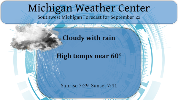
With the changing of the seasons comes the cloudy, cool and soggy air right on cue. We had .59 of an inch of rain yesterday which brings us to .79 of an inch for the month. Our high temperature yesterday was 74° which was just after midnight, our low was 57°. We expect another cloudy […]
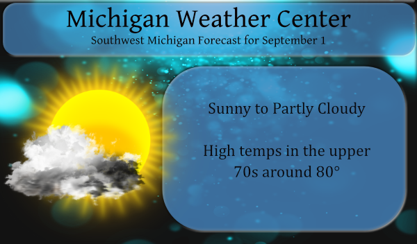
Allegan County was left high and dry once again yesterday. We had a high temp of 87° with a 72° dewpoint and a low of 64°. Today we will have a more comfortable airmass in place with mostly sunny skies and highs in the mid-70s. Sunrise today is 7:23 and sunset is 7:52 pm. Weather […]
The NWS Grand Rapids radar (KGRR) went offline yesterday during the storms (an inopportune time) and is still offline this morning. I had to use the KLOT Chicago and KAPX Gaylord radars for storm tracking. I use Radarscope Pro. Below is the NWS summary of the storm damage: We had some thunder and lightning […]
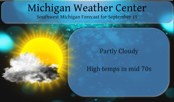
With the shorter days and promise of cooler more tolerable temperatures we welcome the first day of meteorological fall. Sunrise today is 7:08 am, sunset is 8:16 pm. By the end of the month, sunrise/sunset times are 7:39/7:37 respectively. Daily high temperatures for September decrease by 11°F, from 77°F to 66°F, rarely falling below 55°F […]
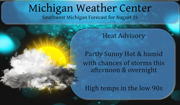
We picked up 1.51 inches of rain from the storms passing through last night which brings us to 2.94 inches for the month of August. No severe weather for the Otsego/Plainwell area, just the heavy rainfall and a few flashes of lightning and some thunder. Our high temp was 90.7° with a 79° dewpoint which […]

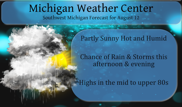
Yesterday’s high temp was 83° with an overnight low of 61°. Dew points rose into the mid to upper 60s yesterday afternoon. Our overnight low thus far for today is 66° with a 65° dewpoint at 3 am. Our last measurable rain was last Thursday. We can expect another hot and humid day with isolated […]
We had .65 of an inch of rain overnight from storms. It is a warm and muggy 74° at 6 am this morning, the dew point is 73.5°. Our total rainfall for the month is 1.43 inches and 14.22 inches for the Met summer (Otsego totals). This should be the last day of tropical air […]