
Hard to believe but here we are once again at the end of Met summer, (Astronomical summer ends on September 22). Our warmest day was 94° on June 13th, we had seven days that were 90° or better. (These are Otsego temps). We had two major storms which moved through the area this summer knocking […]
Yesterday’s storm was the worst we have seen in Otsego over the last few years. I live on a gravel road one block off M89 in the woods. The south side of our road saw multiple tree tops sheared off while my side only lost a few small branches. The woods in my backyard and […]

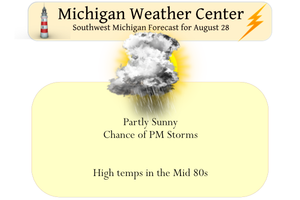
We got through yesterday and overnight without a drop of rain in Otsego. Northern Allegan County and Ottawa County had a severe thunderstorm warning between 9 and 10 last night. Today will be a hot and humid day with temps in the mid to upper 80s with high dewpoints with chances of rain and severe […]
Yesterday we reached 80° after a morning low of 55° under partly cloudy to mostly sunny skies. Today we will see the humidity increase as well as our chances of storms late this afternoon and overnight. The potential for thunderstorms will persist through Monday with a few severe storms with heavy rain possible. A cold […]

The Last Days of Summer We now have just a few days left before the end of meteorological summer and the start of meteorological fall. The average high/low at Grand Rapids starts out today at 79.6/59.6 and over the next 5 days drops to 78.8/58.6 a drop of almost one degree. That will only increase […]
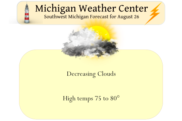
We had .09 of an inch of rain yesterday which brings us to 6.69 inches for August in Otsego. Yesterday’s high was 77° and the low was 61°. A wave of low pressure will track east of the area today. Northerly winds behind this system will draw down a drier air mass from Northern Lower […]
In my travels yesterday I noticed some of the maple trees are beginning to change color as they generally do around here in late August. They are one of the first trees to begin showing their autumn colors, Chlorophyll, the green pigment used during photosynthesis, masks the yellow and red pigments in leaves. When sunlight […]
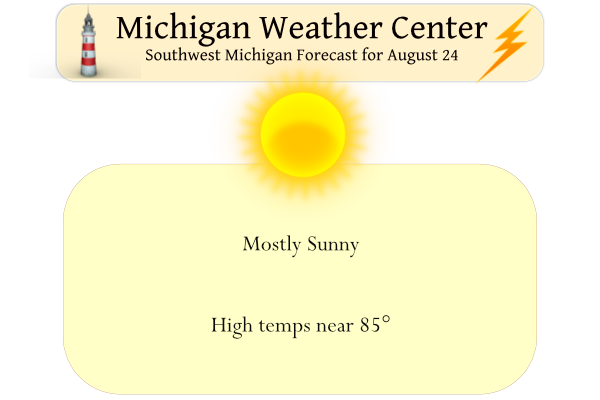
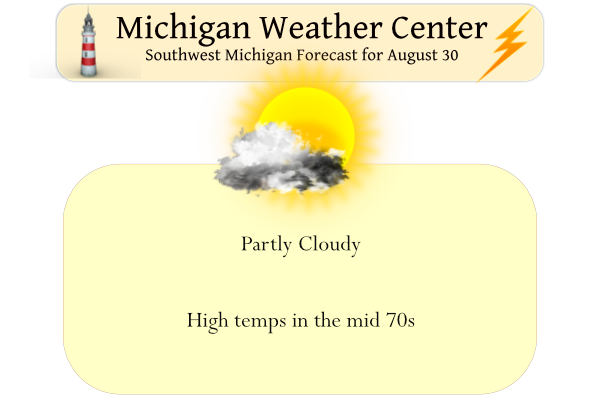
Yesterday our high temp was 78° and the low was 52° with mostly sunny skies. We expect more sun today with warmer temps with a few afternoon thunderstorms developing mainly near and northeast of Mount Pleasant. Increased coverage in the showers and thunderstorms is possible Thursday as a wave of low-pressure tracks into the Great […]
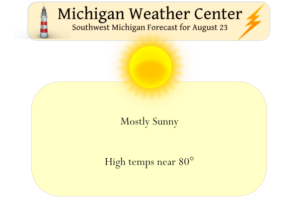
The title of this post explains it all. Not much to talk about here in Michigan, all the action is in the south where excessive rainfall continues to fall where the yearly monsoon rains are falling. The widespread heavy rain and flood event across the Southern U.S. will continue on Tuesday and possibly Wednesday as […]
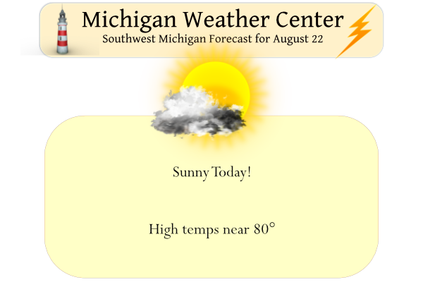
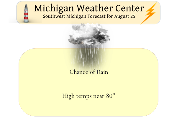
Yesterday we had a high of 78° with a few peeks of the sun and just a trace of rain, the low was 63°. The rain moved just east of the Otsego area. We will see more sun today with highs around 80°, fairly typical for this time of year. Mainly dry weather is expected […]