The title of this post explains it all. Not much to talk about here in Michigan, all the action is in the south where excessive rainfall continues to fall where the yearly monsoon rains are falling. The widespread heavy rain and flood event across the Southern U.S. will continue on Tuesday and possibly Wednesday as it advances slowly into the Lower Mississippi Valley and South. A moderate risk of excessive rain and flooding (level 3 out of 4) will be in effect from northern Louisiana to west-central Mississippi.
9.19 inches of rain were recorded at Dallas/Fort Worth International Airport between Sunday and Monday. The record is 9.57 inches over 24 hours in September 1932. One part of east Dallas recorded 15.16 inches!
Dallas firefighters had conducted 94 water rescues and responded to 225 high-water incidents by Monday evening, In neighboring Fort Worth, firefighters responded to 174 rescues and other high-water investigations.
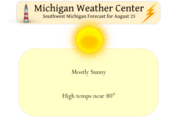
Our weather here will be mundane with sunny skies and pleasant weather.
Yesterday’s high in Otsego was 78° the low was 58°.
Forecast Discussion
-- Today and Wednesday --

Not much going on today or Wednesday amid weak high pressure.
Temperatures are near normal and dew points between the mid 50s
and lower 60s which are as ideal as it gets in late August. Some
patchy early morning fog is occurring this morning and may develop
again Wednesday morning, but drying in the boundary layer during
the daytime has been making it less widespread each night.

-- Thursday --

The upper level trough that is equatorward of the low that`s
anchored over northern Hudson Bay will dig into Ontario midweek,
and a cold front will advance from north to south into the Great
Lakes region. A subtle positive PV anomaly in the upper levels
currently over southern Sask is modeled to become more
incorporated into the increasingly cyclonic flow over the northern
Plains to western Great Lakes over the coming days. This should
induce a weak surface low along the front which will pass through
Lower Michigan on Thursday.

The NAM and GFS show instability in the ballpark of 500 to 1000
J/kg with a thin and tall CAPE profile due to marginally
supportive lapse rates, which should be enough for scattered
showers or thunderstorms but nothing very powerful. Wind shear in
the surface to 6 km layer may only be about 20 knots, keeping
convective organization limited. Ensembles of the GFS, Canadian,
and ECMWF say that rain is not a guarantee for all on Thursday,
but local amounts toward a half inch are possible.

-- Weekend --

Cooler temperatures but still pleasant behind the cold front on
Friday, then highs rebound into the 80s over the weekend (more
likely Sunday) once the surface high moves east of our area and
warm air advection commences. This occurs as the the synoptic
pattern across Canada and the northern US temporarily becomes
more zonal and progressive. A shortwave trough ejecting out from
the Gulf of Alaska late this week should focus the next chance for
showers and thunderstorms here with a cold front sometime between
late Sunday and early Tuesday. Ensembles suggest more instability
could be available with this round. Overall the ensembles are in
fair agreement with the general synoptic pattern evolution going
into early next week, and confidence in this medium-range forecast
is better than average.
What? Sun and normal temps! Who would have thought?
As has been mentioned on here, its been a pretty quiet severe weather season. We currently stand at 204 reports of severe weather. That sounds low, but its actually not the lowest we have had in a given season. During 2009 we only had 187 reports of severe weather the entire year which is easily the lowest since 2000. Since 2000, this year is the 2nd quietest severe weather season in West Michigan (so far, the year is not over). While some perceive it as a quiet season, this has been the most active severe weather season in my area… Read more »
I like these Light and Variable wind days. The weather is perfect.
The very pleasant late summer weather continues. Yesterdays official H/L at Grand Rapids was 80/63 there was no rain fall and 86% of possible sunshine was reported. The overnight low here in MBY was 55 the official overnight low at GRR was 57. At the current time it is 64 at GRR and 66 here in MBY with sunny skies. For today the average H/L is 80/61 the record high of 96 was recorded in 1947 and the record low of 43 was set in back to back years of 1951 and again in 1952.
Slim