We had .09 of an inch of rain yesterday which brings us to 6.69 inches for August in Otsego. Yesterday’s high was 77° and the low was 61°. A wave of low pressure will track east of the area today. Northerly winds behind this system will draw down a drier air mass from Northern Lower MI. Those northerly winds will make for hazardous swim and boating conditions today. A warming trend will develop over the weekend into early next week. Showers and thunderstorms will arrive by Sunday night.
For Historical purposes, I would like to see you post high and low temps for the previous day here along with precipitation amounts and other noteworthy weather events for your area.
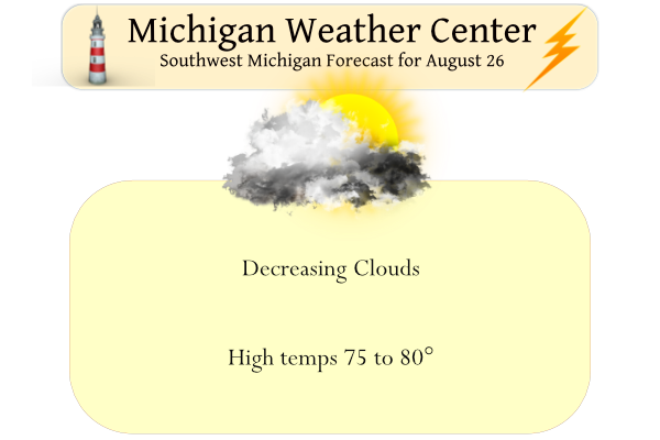
Forecast Discussion
Latest surface analysis shows a cold front extending from near
Detroit southwest to Coldwater. IR imagery shows the north flow
across the state and a few areas of clearing, that quickly fill in
with stratus. Quite a bit of low cigs across the CWA which
the CONSShort model is handling well.

Bufkit RH progs show drier air advecting into the CWA today and
we`ll see a return to sunshine by the afternoon as high pressure
noses in from the west behind the cold front.

Most of the weekend will be dry. However as the high drifts east
Sunday, we may see a few showers/isold storms develop Sunday
afternoon ahead of a short wave.

The GFS and ECMWF both show a deepening upper trough approaching the
Great Lakes Sunday night/Monday and a cold front moving across the
CWA Monday night. Showers and thunderstorms will be likely during
this time. Shear values also increase to 30-35 knots late Sunday
which suggests that some organization may be possible. However, the
higher shear may also coincide with a decrease in instability that
typically occurs at night. Something to watch, for sure.

Precipitable water values increase to over 2 inches Sunday night and
we remain in the juicy airmass until Tuesday morning. Locally heavy
rain is definitely possible during this period. The strong southwest
flow will also send temperatures into the mid 80s over the weekend.
When combined with dewpoints in the upper 60s, it`s going to be very
humid.

Precipitation chances will decrease Tuesday behind the cold front
and high temperatures will fall into the mid 70s by Wednesday.
Lows in the 40’s next week is Summer on its way out or what?? Yeahhhh INDY
I picked up .3 inches of rain! The incredible summer just keeps rocking!
Yesterday broke our string of sunny days with just 2% of possible sunshine. Here in MBY I recorded 0.07” of rain fall while the official reading was just a trace. The official H/L with the clouds was 76/63. The overnight low in MBY was 66 and that is the current temperature. For today the average H/L is 80/60 the record high of 95 was set in 1948 and 1973 the record low of 42 was set in 1945. It looks like we will return to some very good late summer weather for the next several days. The weekend looks to… Read more »
I’ll be interested to see meteorological summer cloud cover percentages in a few days. It seems like this has been a cloudier summer in GR and a sunnier summer in EL