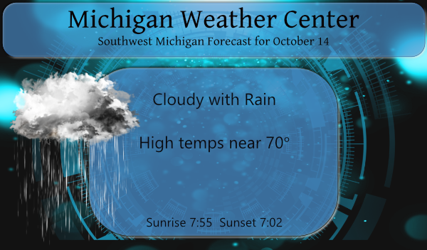
Yesterday we had clearing skies and a good period of sunshine after a period of morning drizzle which amounted to a trace. Our high temp was 72° and the low was 56°. At 7 am this morning we have 66° which is near normal for daytime highs. Don’t expect much sunshine for today – we […]
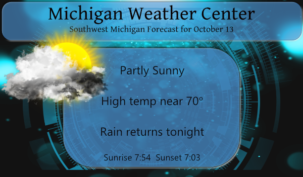
Yesterday we had a temperature difference of 4° between our high and low. The high was 64° the low was 60°. According to my digital rain gauge we had .25 of an inch yesterday, I haven’t checked the analog gauge, it is too early to run outside at 4 am. Today should remain dry with […]
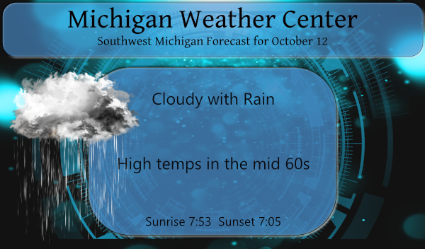
After an extended period of warm weather, we will see a more fall-like pattern developing today with temps in the 60s. Yesterday our high was 80° and the low was 61°. We have had 1.10 inches of rain from the low passing through the area thus far which brings us to 2.78 inches for the […]

When I stepped outside at 5 am this morning the temp was a summer-like 68° which is above the normal high temp for a mid-October day. We didn’t make 80° yesterday but we did rise to a pleasant 78° with an overnight low of 62°. After a few early morning light showers, we saw some […]
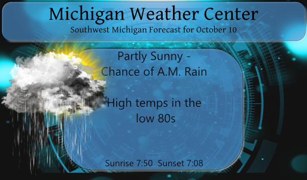
We have some rain moving in this morning thanks to a warm front pushing through the state. We will see occasional showers and thunderstorms and very warm temperatures the next few days. The highest coverage of storms is expected to be Monday evening into Monday night. A few of these storms may become severe. High […]
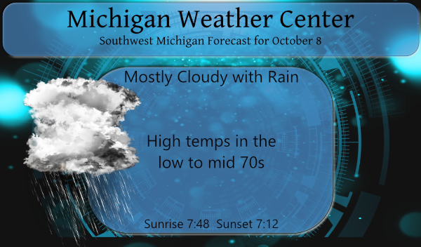
We didn’t get a huge amount of rain yesterday – .19 of an inch in Otego here at the Station. There is more moving into the area this morning moving from south to north. Guesses are a quarter to half an inch for today. Though it is not unheard of we have high temps predicted […]

We have a more typical fall pattern of cloudy days for the beginning of October though temps remain on the warm side. The cold air remains in Siberia where temps are in the 20s and 30s we keep in mind what generally goes around comes around. Much of the U.S. west of the Mississippi River […]
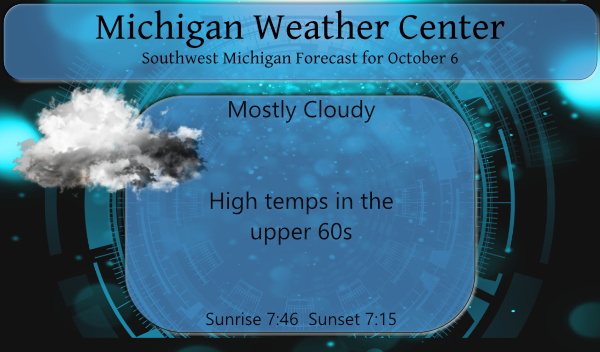
Our summer-like weather pattern continues today and appears to want to continue on into next week. I can’t help but think we will pay for this as we move into late October into November as Michigan is known for extreme weather changes. For now, we will enjoy our extended summer even though the dry sunny […]

Yesterday we saw scattered rain showers with a few peeks of the sun. Our high temp was 70.5° and we saw a low of 62°. Our rainfall total for Otsego was .78 of an inch from the current system moving out. With winter on the horizon, I suppose it is a good time to post […]
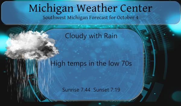
We are coming upon the time of year when one would think that our first frost was imminent however we will not see that happening this week or next week for that matter. We will continue to see temps in the 70s this week into next week. For you winter enthusiasts, Accuweather has come out […]