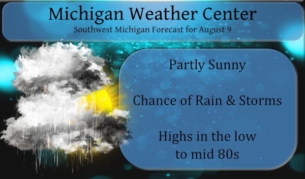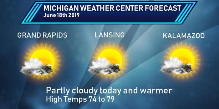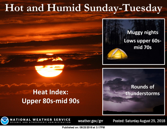
We begin the work week adding some rain and storms into the mix of heat and humidity. Our best chance of storms will come later today through Thursday. [columns] [span4] [/span4][span4] [/span4][span4] [/span4][/columns] There is a marginal risk of severe weather this afternoon. The main threats will be damaging winds and locally heavy rains. There […]

The title of the post may be a bit deceptive, we may see warmer temps however the struggle to maintain a period of 80° or better over the next week is iffy at best. The extended period of cloud cover and cooler temps with lots of rain seems to be embedded over Michigan. If Grand […]

This is the day one outlook from the SPC, it is linked back the the SPC site so it should update if it changes. It shows we are in the marginal risk for storm activity. Marginal, Slight, Enhanced, Moderate, and High risks represent progressively larger threats for organized severe storm episodes. These risks, along with […]

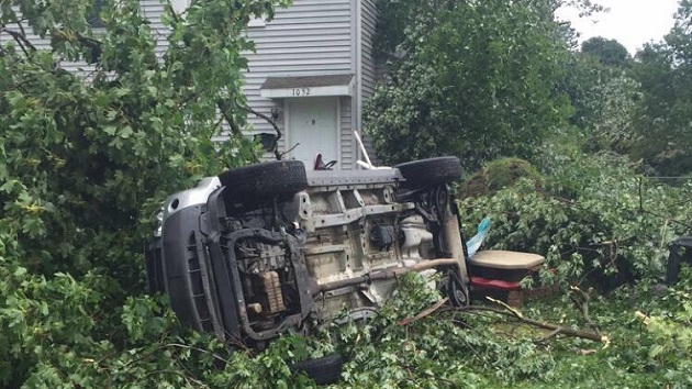
A total of 6 tornadoes formed in Western Lower Michigan on August 20, 2016. Over the Grand Rapids metro area, the storm produced a cyclical series of tornadoes and downdraft-related damaging wind gusts. EF-1 tornado between Bangor and north of Grand Junction, in Van Buren and southern Allegan Counties. EF-1 tornado southeast of Fennville to […]