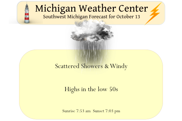
Yesterday we reached 69° with a morning low of 44°. Our rainfall total was one inch up to midnight. We had a storm of leaves here in the woods which will now have to be raked. Lake effect showers will be on the increase today as cooler air flows over the relatively warmer waters of Lake MI. There may be a lull in the precipitation Friday but scattered showers will return over the weekend. Temperatures will be in the low 50s right on through the weekend then fall into the 40s at the beginning of next week as shown in the CPC forecast calling for below-normal temperatures.

Forecast Discussion
- Back to Fall-Like For the Next Week -

A deep-layer closed low will settle into the Great Lakes Region
today while 850mb temps plunge below 0C. Several embedded shortwave
lobes rotating through the main upper low will result in multiple
chances for precipitation as localized low pressure centers
associated with the embedded waves pivot through northern MI. This
perpetual cyclonic flow will support cold advection flow over the
warmer Lake Michigan waters resulting in lake effect clouds and
rain.

- Possible Snow Mixing in Early Next Week -

An uptick in precip chances is expected for Sunday night into Monday
as a more potent shortwave moves through the region. Sunday night
through Tuesday 850mb temps (already below 0C) will fall further
closer to -8C. Precipitation type will come into question during
this time frame, especially for North/Central Lower MI. A saturated
DGZ could result in some light slushy snow accums on grassy
surfaces during the Monday morning and Tuesday morning precip.

- Much Colder Through Mid-Week -

Following the secondary cold front that passed through late last
night/early this morning, cold air will root itself into the region.
As stated previously, 850mb temps drop below 0C early this morning,
and even colder air settles in Monday. This will result in a cooling
trend into early next week. Highs in the 50s are expected today and
tomorrow, with temps falling into the low 40s by Monday. Meanwhile,
overnight lows in the 30s will be the norm for the next week. For
comparison, this time of year normal highs are typically in the 60s,
and normal lows are in the 40s.
Get ready for November cold next week!
Have had on and off ice pellets today and some pretty heavy downpours. More of a late fall kind of day.
Same here too. At one time the sun was out and the colors on the trees were beautiful!
Is that sleet hail or snow outside wow to the wow welcome to November I mean October lol… INDY
You know it and it is now snowing in MN and N Dakota! Wow!
Welcome to Thursday the 13th Yesterday here at Grand Rapids the official H/L was 69/44. At the airport there was 0.54” of rain fall and there was a reported 5% of possible sunshine. The sun did come out here just before the 1st wave of rain came in. In MBY I recorded 0.49” of rain fall. So far the overnight low here in MBY is the current temperature of 45. For today the average H/L is now down to 62/43 the record high of 87 was set in 1975 and the record low of 24 was set in 1993. The… Read more »
Who would have thought? November weather in October! Incredible!