Yesterday we had a high of 52° and a morning low of 37° with partly cloudy skies. Yesterday in the early morning hours we had .35 of an inch of rain which brought our monthly total to 1.65 inches.

It has been wet for several days. Here are estimated five-day precipitation totals starting Tuesday morning and ending this Saturday morning. Several locations immediately northwest of downtown Grand Rapids reported over two and a half inches of rain during this time.
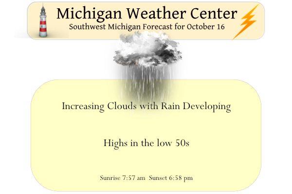
Clouds will be on the increase this morning. Scattered showers will arrive in the afternoon. It will continue to be cooler than normal with max temperatures topping out in the upper 40s north to mid-50s south. Occasional showers will then continue on Monday and Tuesday. Rain may mix with or change to snow on Monday morning, then again on Monday night into Tuesday morning; some brief/light snow accumulations are possible on grassy areas. Temperatures will fall to the upper 30s to low 40s which will give us a brief taste of winter.
Forecast Discussion
A dynamic weather pattern is unfolding for the Great Lakes over the
next couple of days. On the surface, a cold front will move across
the cwa this morning. IR loop shows a deck of mid clouds is moving
out of the cwa and we may see some sun this morning before clouds
move back in again. A strong short wave over Manitoba will move
south today and bring a stronger shot of cold air with it. The end
result will be cold advection throughout today. However, by tonight,
as h8 temps fall below 0c, we`ll see lake effect showers develop
thanks to deep moisture and lake delta t/s in the lower 20s. The
northern cwa will likely see some snow mix in with the rain showers
tonight. The warmer water over the lake will create MUCAPE in the
100-300 j/kg range and so thunder is a possibility over the lake and
the lake shore counties.

Highs Monday-Wednesday will only be around 40 degrees...well below
normal. Given the cold air, a couple inches of snow are possible
over the far northern cwa on non road surfaces during short bursts
of heavier snow showers. For the most part, sfc dewpoints remain
above freezing through Wednesday, so sfc temperatures aren`t going
to go below freezing. Given soil temperatures in the 40s, quite a
bit of melting will be going on, so we are not going to get carried
away with accums.

The upper low begins to lift out Wednesday night and temperatures
will warm to the mid to upper 50s by the end of the week under
generally dry conditions.
Getting a heavy rain/small hail mix here at this time, Temperature is 48.
Slim
Check out all the winter storm warnings/advisories/watches in the UP. Some pretty hefty totals for some.
Looking good!
…WINTER STORM WARNING REMAINS IN EFFECT FROM 8 PM THIS EVENING
TO 8 PM EDT MONDAY…
* WHAT…Heavy, wet snow is expected to result in hazardous winter
driving conditions for the Monday morning commute. Total snow
accumulations of 4 to 8 inches expected along the spine of the
Keweenaw Peninsula. Northwest to north winds gusting as high as
50 mph at times.
* WHERE…Keweenaw and Northern Houghton Counties.
* WHEN…From 8 PM this evening to 8 PM EDT Monday.
It was a bit chilly tailgating yesterday at the MSU Homecoming. It was nice when the sun would make an appearance.
Get ready for winter in October! Is this a sign of a cold and snowy winter! Wow!
Yesterdays official H/L at Grand Rapids was 52/37 there was 0.14” of rain fall no sow fall was reported and there was 40% of possible sunshine. The overnight low here in my yard this morning is 36 and that is the current temperature with clear skies. There is very good color in my area at this time in fact it is some of the best color I have seen here in many years. For today the average H/L is 61/42 the record high of 83 was set in 1938 and the record low of 25 was set in 1992 and… Read more »