This month will go down in the books as cold, though we haven’t had a lot of snow we have kept it on the ground due to lack of temps above freezing Most of our snow loss has been due to sublimation (the transition of a substance directly from a solid-state to a gas state). It has been mostly impossible to build a snowman because of the powdery consistency of the snow. Unlike the past couple of years, most of our snow has come from lake effect.
After a brief warm-up early this week, a storm near the Ohio Valley may bring accumulating snow to southwest Lower Michigan in the Wednesday/Thursday time frame, followed by another surge of Arctic air. Most of the early morning models at 5 am are coming together bringing most of the heaviest snow to SE Michigan though areas from Grand Rapids to the south could see some. Still, too early to suggest anything carved in stone at this point, so I am not overly excited about the potential of a huge snowstorm in SW Michigan. Tuesday will be our January thaw with temps near 40° 🙂
We have 16° at 5:30 this morning. Yesterday’s high was 23° and the low was -0.8° for our first sub-zero temp for the season. Our snowfall remains at 18 inches for the month with around five inches left on the ground. The total for the season is 31 inches. Bittersweet Ski Resort down the road from me has a 24-inch base.
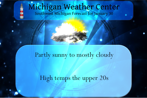
Forecast Discussion
- Rather tranquil wx through Tuesday -

A few lingering very light snow showers and flurries associated
with the weak low pressure system moving through our area early
this morning will continue to taper off as high pressure builds in
from the west.

The ridge will bring tranquil wx tonight and Monday followed by a
brief warmup Tuesday as strong southerly flow waa develops. Max
temps Tue should reach the 35 to 40 degree mark. We will undercut
numerical guidance max temps just a bit though given extensive
snow cover across our fcst area. Some light waa rain showers will
develop by Tue aftn ahead of the approaching cold front. Pcpn
north of I-96 will likely be mixed with wet snow.

- Light snow Wednesday; Snow looking less likely Thursday -

An overall medium range guidance consensus continues to show
potential for some light snow Wednesday in an area of isentropic
upglide to the north of a slow moving frontal boundary which will
extend from southern IL/IN ne to northern OH by then.

Beyond that we expect a low pressure system over the Arklatex
region to tap ample gulf moisture and become better organized as
it moves ne or ene along the baroclinic zone. Considerable medium
range guidance discrepancies continue to exist in terms of exact
track and strength and timing of that system which has big
implications for our area in terms of snow potential Thursday.

For now an overall medium range guidance consensus and trends the
past 24-48 hrs suggest that system will stay well to the se of
our area as strong high pressure expands east into our region. The
cold dense air associated with that strong high should force the
low pressure system on a further southeastward track as latest 00Z
ecmwf guidance suggests.

There are still a few medium range guidance solutions... most
notably the 00z deterministic gfs that still show potential for
significant snow here Thursday. This is an outlier though. The
most likely outcome is that our area will not see very much if
any snow from this system.
Weather 101…lol…Well let it snow let it snow let it snow…InDzy
Rock on Indy!
https://www.mlive.com/news/2022/01/midweek-storm-to-pack-heavy-snow-ice-freezing-rain.html
WZZM is still calling for heavy snow?
What a great day out on the slopes! Perfect conditions and light winds! Spectacular and amazing! Who wouldn’t love winter? Incredible!
All the snow hype on here for a big snowstorm next week. Well, NWS GRR says that won’t be happening. I love it! The snow deficit continues to grow.
“The most likely outcome is that our area will not see very much if any snow from this system.”
I’ve learned to not get excited about a significant snow event (or severe thunderstorm event) until less than 3 days out. Otherwise there will always be a lot of disappointment. Especially with the severe weather “bubble” around Grand Rapids in recent years.
However I will admit that I still get hyped up… I just don’t comment until 3 days out 😀
Reminds me of hot days forecast that end up in the 60’s with rain.. let it snow let it snow let it snow…InDy
Well, it is not a done deal! This is weather 101! Check back with me on Tuesday and we will know more! Stay tuned the most accurate model prediction next week! Rock n roll baby!
There was just a trace of snow fall here yesterday. There is still 6″ of snow on the ground here and there now has been at least 1″ of snow on the ground for 35 days in a row. This January with the the 1st one with at 1″ or more on the ground for the whole 31 days since 2014. At this time with cloudy skies it is 17 here. This weeks storm now very much looks to pass the Grand Rapids area to the SE. That is rather typical for this area as the bulk of system storms… Read more »
If the Southern track keeps going we may only see 1-3 inches of snow! That would be a horrendous outcome, but we will take any snow we can get! Who wouldn’t want snow in MI in the winter?
WZZM is still saying heavy snow for GR? What in the world are they looking at?
As for this weeks storm! Unfortunately I am not seeing a northward track, which could mean GR misses out on another monster storm! However it will snow next week and it will be cold so the great winter keeps rocking! Fantastic and Incredible! Stay tuned for later updates and the official RDB model snowfall forecast for next weeks storm!
Why in the world does everyone keep saying not much snow this month? GR is still above normal for the month in snowfall! Incredible! This has been one of the best years for outdoor winter sports in years! Skiing here I come!
This will be the 1st January to have all 31 days have at least 1″ of snow cover since 2014 at Grand Rapids.
Slim
GR may be above for the month, but most of the other reporting stations are below for January. Along the lakeshore Muskegon is currently below for the month:
https://forecast.weather.gov/product.php?site=grr&product=cli&issuedby=mkg
Lansing is below for the month:
https://forecast.weather.gov/product.php?site=grr&product=cli&issuedby=lan
Can’t find the data, but I believe MV’s area is also below for the month.