Yesterday we managed 52° after a morning low temp of 37° with a couple of peeks of the sun in the afternoon.
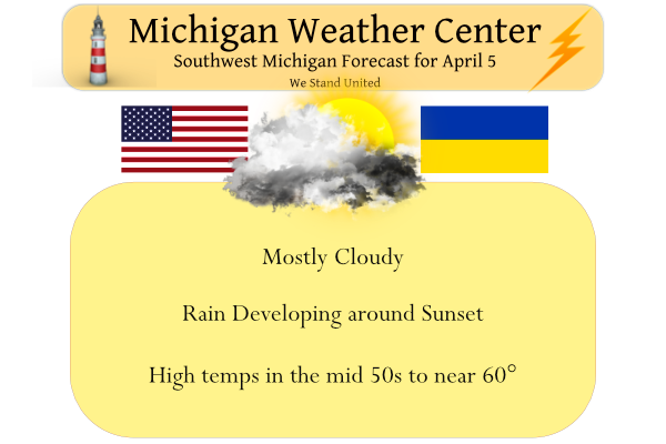
Today will be the warmest day of the month so far. High temperatures are expected to reach near 60 in Kalamazoo, but mostly in the 50s elsewhere. Rain is expected overnight and it may be locally heavy at times. The rain should move into the area after sunset. The rain will continue into the morning hours of Wednesday.
[columns] [span6]
[/span6][span6]
[/span6][/columns]
Above normal temperatures are expected across the state with the warmest temperatures likely through southeast Michigan. There is a signal for slightly above normal precipitation through most of Michigan with the thumb and eastern Michigan looking closer to near normal precipitation.
Forecast Discussion
...Rain returns tonight and lingers a while...

A strong upper jet just entering the Pacific Northwest will help to
carve out a deep upper over the upper Midwest later today and
tonight. As the upper low cuts off and the sfc low occludes, the
system will slow down as it moves east. As a result, we`ll be
dealing with it`s precipitation through the end of the week.

The warm front associated with the low will lift north through the
cwa tonight. Strong isentropic lift across the pressure surfaces
will result in quick saturation and rain should develop after 00z
from south to north. The cold frontal portion of the low extending
south of the occlusion will move across the cwa after 08z. There may
be some convection with this front, especially if you believe the
NamNest. MUCAPE is non zero and mid level lapse rates climb to
around 8C/km. The window for this is narrow...perhaps two hours or
so, so we will leave thunder out of the forecast...for now.

Could be some decent rain with this system. A half to one inch of
rain is possible over much of the cwa, which would be good news for
the far northwest, where abnormally dry conditions persist.

Once the cold front moves through, colder air aloft will move
overhead. Precipitation will become more scattered and showery in
nature for the next couple of days as the upper low slowly moves
east.

As colder air wraps into the system, some wet snow may mix in with
the showers over the northern cwa Wednesday night and again Thursday
night. Friday will be similar to Thursday. Showery with highs in the
mid 40s. Mixed rain/snow showers Friday night as the upper low
slowly moves east. In fact, ridging won`t really take hold over the
cwa until Saturday night and Sunday.

...Warmer next week...

Once the ridge moves overhead later in the weekend, temperatures
will begin to warm and we should return to the 60s for the first
part of next week. Waves moving over the ridge may try to generate a
few showers or storms too.
Cool pattern = most of this month!
It looks like we are heading to another stretch of below normal temps the rest of this week! Wow, what a cool pattern we are entrenched in despite the constant warm weather hype! Truly incredible!
60 with hazy sunshine here. Nicer than I expected. The grass is really starting to green up. Love this time of year.
Whoops it now looks like a brief warm up that it could turn cool and wet again.
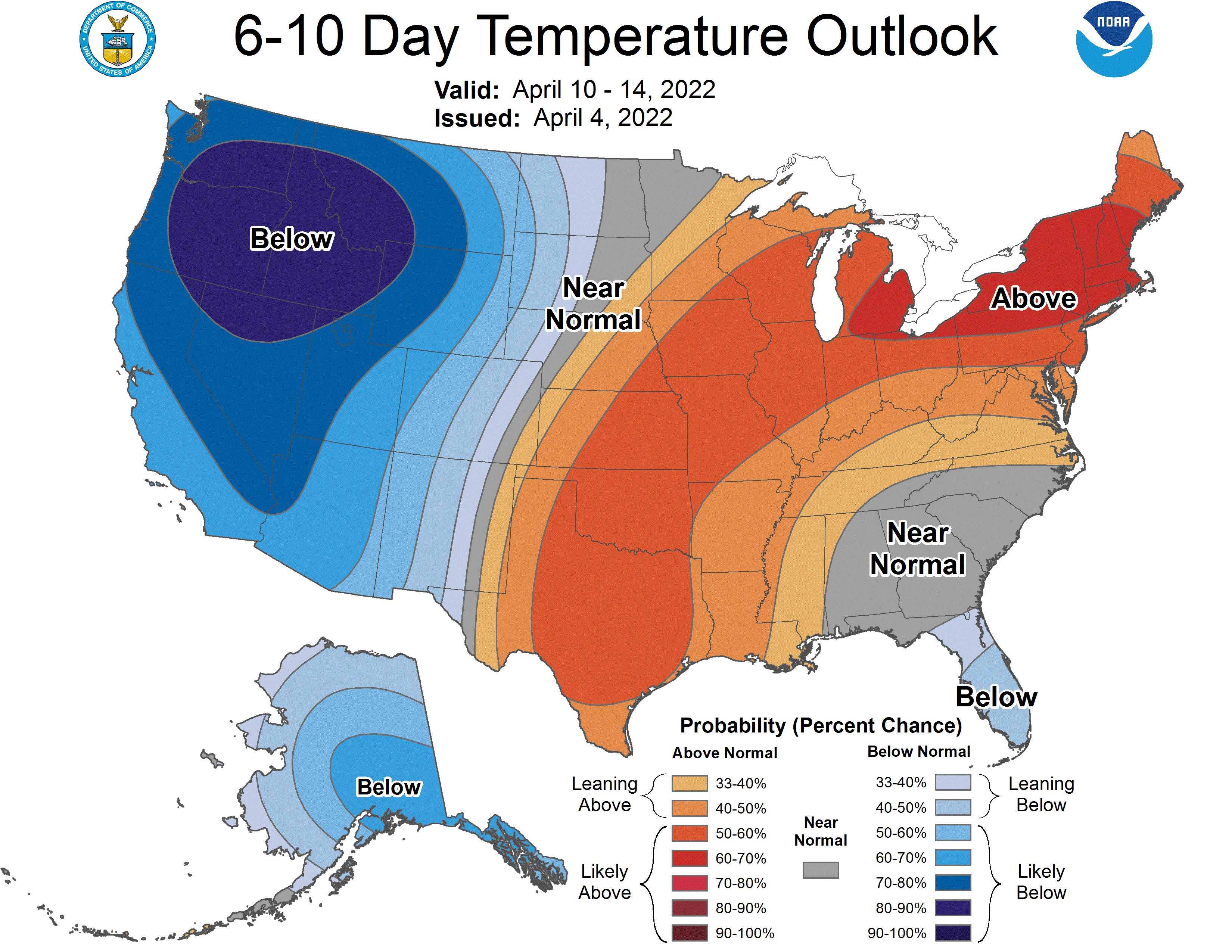
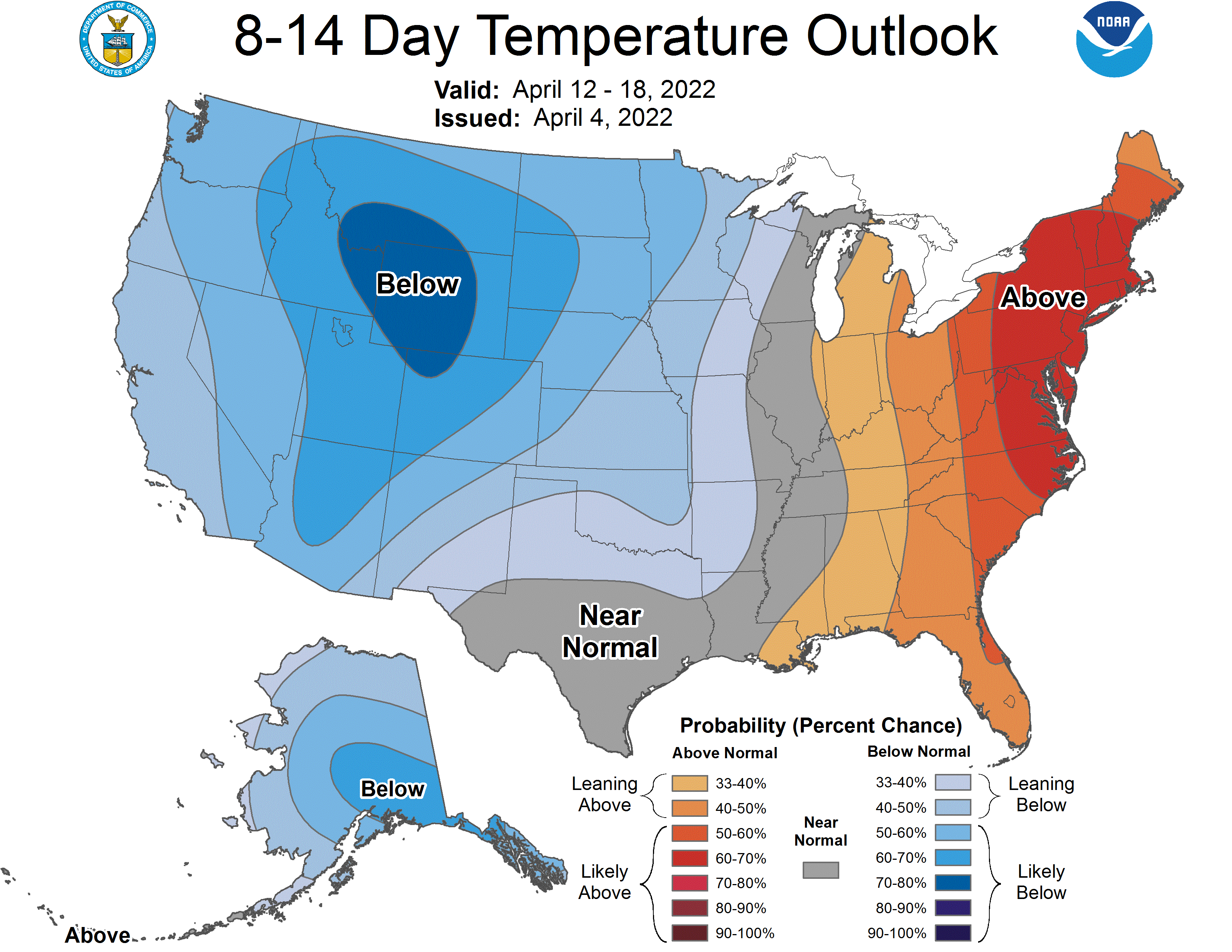
https://www.cpc.ncep.noaa.gov/products/predictions/814day/
Will have to see if this holds up.
Slim
Wouldn’t surprise me! Like I have said you really don’t see real consistent warm spring temps till May! Who would have thought?
Currently its 88 degrees by the pool in cape coral florida nice and warm ahhh funny how its April 3rd and you guys are still talking about Smow falling in Michigan yup typical Spring break in Michigan PS the sprites are going down nice by the way ice cold …InDY
GR reported a whopping 0.1″ of new snow yesterday that melted within minutes/hours. What a joke of a WWA calling for 1-4 inches.
I agree that a WWA was not needed. However I think they issued it in case snowfall was at the higher end (like what happened across the lake a couple days ago).
Although even the high end was 3 inches which is below advisory level. The WWA said “up to 3 inches” which seems below advisory level to me.
Yeah that is just like haven a “severe thunderstorm warming” for a a couple rumbles of thunder and maybe a 20 MPH wind gust. I am not sure why a WWA was issued. Just like I don’t know why some storm warnings are issued for thunderstorms. I guess it is just a abundance of caution.
Slim
Good morning morning good morning curwake-up to 69* degrees and sunshine down here in Cape Coral Florida yesterday we arrived at the beach at 10am and left at 4pm couldn’t get enough today we have a high forecast for 90* degrees great pool day we will call it!! From enjoying real Spring warmth have a super day MV’s best ….InDY..
You like 90 degrees in early April?! Wow!
What snow in April?? No way lol…InDY
Who would have thiughh?
The last two days have actually been really close to normal temps. Today should be above average with more on the way! WOOD now shows 70 degrees next week!
So you are really admitting the last 2 days were below normal temps! In fact we are in a stretch of below normal temps! Face reality!
Where’s the snow you promised us? LOL
We are due for a warm up. 9 of the last 11 days have been colder that average. That is just a fact of the weather around here some warm days and then some cool days. Even in the heart of summer there is always a up and down pattern. I for one am looking forward to any 70 degree days we can get. And I hope we soon can then get some days in the 80’s come May.
Slim
Rock on Slim! 9 out of the last 11 days! Wow, now that is a cool trend! Incredible!
Um we just had 12 straight warm days in a row LOL
At Grand Rapids 9 out of the last 11 days have been below average.
Slim
You are totally delusional! You may need to seek help!
I recorded 0.37″ of rain yesterday and overnight. The official high at Grand Rapids yesterday was 47, it was a warmer 57 at Kalamazoo and a cooler 45 over at Lansing. The overnight low in MBY was 37. At this time with cloudy skies it is 37.
Slim
Get ready for more cloudy, cool weather! Yes we are still in a cool pattern! By next week we might actually see a warming trend and then maybe finally some nice golf weather! This past month has been horrendous for golf and some other outdoor activities! I am ready for some real warm Spring weather! Bring it!