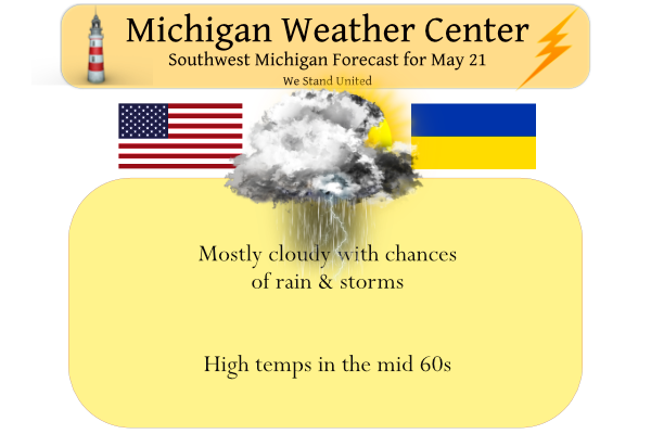
Summer Weather Events
First off, I am glad that Kyle is safe and sound after his close encounter with the tornado up in Gaylord. It looks like there was a lot of damage along M 32 in town. One of my youngest son’s friends lives in Gaylord my son has not heard anything from him yet.
Here is a list of some of the weather events that can happen during the summer season.
Thunderstorms
Severe thunderstorms are officially defined as storms that are capable of producing hail that is an inch or larger or wind gusts over 58 mph. Hail this size can damage property such as plants, roofs and vehicles. Wind this strong is able to break off large branches, knock over trees or cause structural damage to trees. Some severe thunderstorms can produce hail larger than softballs or winds over 100 mph, so please pay attention to the weather so you know when severe storms are possible. Thunderstorms also produce tornadoes and dangerous lightning; heavy rain can cause flash flooding.
Severe Thunderstorm Watch
This is issued by the National Weather Service when conditions are favorable for the development of severe thunderstorms in and close to the watch area. A severe thunderstorm by definition is a thunderstorm that produces one inch hail or larger in diameter and/or winds equal or exceed 58 miles an hour. The size of the watch can vary depending on the weather situation. They are usually issued for a duration of 4 to 8 hours. They are normally issued well in advance of the actual occurrence of severe weather. During the watch, people should review severe thunderstorm safety rules and be prepared to move a place of safety if threatening weather approaches.
Severe Thunderstorm Warning
This is issued when either a severe thunderstorm is indicated by the WSR-88D radar or a spotter reports a thunderstorm producing hail one inch or larger in diameter and/or winds equal or exceed 58 miles an hour; therefore, people in the affected area should seek safe shelter immediately. Severe thunderstorms can produce tornadoes with little or no advance warning. Lightning frequency is not a criteria for issuing a severe thunderstorm warning. They are usually issued for a duration of one hour. They can be issued without a Severe Thunderstorm Watch being already in effect.
Tornado
A tornado is a violently rotating column of air extending from the base of a thunderstorm down to the ground. Tornadoes are capable of completely destroying well-made structures, uprooting trees, and hurling objects through the air like deadly missiles. Tornadoes can occur at any time of day or night and at any time of the year. Although tornadoes are most common in the Central Plains and the southeastern United States, they have been reported in all 50 states.
Tornado Watch
This is issued by the National Weather Service when conditions are favorable for the development of tornadoes in and close to the watch area. Their size can vary depending on the weather situation. They are usually issued for a duration of 4 to 8 hours. They normally are issued well in advance of the actual occurrence of severe weather. During the watch, people should review tornado safety rules and be prepared to move a place of safety if threatening weather approaches
Tornado Warning
This is issued when a tornado is indicated by the WSR-88D radar or sighted by spotters; therefore, people in the affected area should seek safe shelter immediately. They can be issued without a Tornado Watch being already in effect. They are usually issued for a duration of around 30 minutes.
Both Tornado Warnings and Severe Thunderstorm Warnings are issued by your local National Weather Service office (NWFO), see map below. It will include where the tornado was located and what towns will be in its path. If the tornado will affect the nearshore or coastal waters, it will be issued as the combined product–Tornado Warning and Special Marine Warning. If the thunderstorm which is causing the tornado is also producing torrential rains, this warning may also be combined with a Flash Flood Warning. If there is an ampersand (&) symbol at the bottom of the warning, it indicates that the warning was issued as a result of a severe weather report.
Some other summertime watches and warnings that we could see in the summer time are Flood Watches and Flood Warnings. To a much lesser extent in our area Heat Warning.
Flash flood watch
A Flash Flood Watch is issued when conditions are favorable for flash flooding. It does not mean that flash flooding will occur, but it is possible.
Flash Flood warning
A Flash Flood Warning is issued when flash flooding is imminent or occurring
Flood Watch
A Flood Watch is issued when conditions are favorable for flooding. It does not mean flooding will occur, but it is possible.
Flood Warning
A Flood Warning is issued when flooding is imminent or occurring.
Excessive Heat Watch
An Excessive Heat Watch is issued when there is a potential for the heat index value to reach or exceed 110 degrees (east of the Blue Ridge) or 105 degrees (west of the Blue Ridge) within the next 24 to 48 hours.
Excessive Heat Warning
An Excessive Heat Warning is issued when the heat index value is expected to reach or exceed 110 degrees (east of the Blue Ridge) or 105 degrees (west of the Blue Ridge) within the next 12 to 24 hours. An Excessive Heat Warning may be issued for lower criteria if it is early in the season or during a multi-day heat wave.
Heat Advisory
A Heat Advisory is issued when the heat index value is expected to reach 105 to 109 degrees (east of the Blue Ridge) or 100 to 104 degrees (west of the Blue Ridge) within the next 12 to 24 hours. A Heat Advisory may be issued for lower criteria if it is early in the season or during a multi-day heat wave.
Slim
The Gaylord tornado was rated an EF-3. Max winds of 150 overall, and 140 around Gaylord. Strongest tornado in Michigan in a while!
Thanks for the update
Slim
Another blowtorch?!
Pathetic to keep posting the cpc maps, however I would rather have upper 70’s than the horrendous weather today and more coming next week! Incredible!
It looks like 6 more days of cool (below average) temperatures and then a warm up for the end of the month. By that time it will be time for the start of the summer season. Not sure how long that warm up will last with all that potential cold in the NW. But that said if it is cold on the west coast it should be warm on the east. As for a “blowtorch” there is no such terminology in the weather world.
Slim
Blowtorch is frequently used by Mark T of MLive when talking about weather.
Lol
Just another lousy, wet, below normal temp Spring day! Wow! Get used to it because we will have more next week!
I like the temperatures! But yes the rain combined with the cooler weather isn’t the best. Sun and 60s is my favorite… looks like tomorrow/Monday should be dry
Yes the next couple days look 100% better than today!
That’s one heck of a cold front. The PGA Championship is being played in Tulsa, OK. It’s only 57 today – 30 degrees cooler than yesterday.
It is getting dark in the west here as there is some more rain ready to move in from the west. The temperature is now 65 with dark clouds to the west.
Slim
Oh, great!
We were just out in our rubble pile and I saw a streak of lightning to the West so we headed out of there.
It thundered here all night long. It is still thundering. So interesting.
Pretty decent rain moving through the SE part of the state atm.
Rained a bit here last night and things really greened up
The official H/L at Grand Rapids yesterday was 86/61, at Lansing it was 88/67 and at Muskegon it was 83/60. It was still 83 at Lansing last night at 11 PM and still 76 at midnight so at Lansing todays high will be in the mid 70’s while here in GR it will only be in the mid 60’s That is one of the reasons that it has appeared that Lansing has been warmer compared to average than Grand Rapids this year with cold fronts coming thru before midnight so many times this year.
Slim
I recorded 0.36″ of rain in the overnight thunderstorm and at GRR the official amount was 0.33″ The overnight low here at my house was 58. At the current time it is still 58 and cloudy.
Slim
We had .44 of an inch by 4:30. Yesterday’s high/low was 85/60. Current temp is 58
There was some wild storm up in Gaylord yesterday afternoon. The last news was 1 dead and 44 injured. And of course a lot of damage. For many of us who travel up north we have stopped in Gaylord on the way up or down. I stop there many times on our way to and back from Alpena. I would expect that M 32 is closed in Gaylord for the time being. Not sure where the snowman cam is in Gaylord but there looks to have been something blown there not sure where it came from and not sure how… Read more »
Appears someone has fed the squirrels this morning.
That looks like a graduation cap and gown laying on the ground.
Almost half way through the year and we are still well below normal for temps! Let’s hope that trend keeps rocking! Wow!
Get ready for a week of below normal temps along with plenty of clouds and rain! The cool pattern keeps rolling! Absolutely incredible!