As the title suggests we have slight chances of snow this week mainly below 50% with greater chances along the immediate lakeshore. Light snow will develop across parts of Lower Michigan and persist through Monday afternoon. Accumulations will be minor, and no significant impacts are expected.
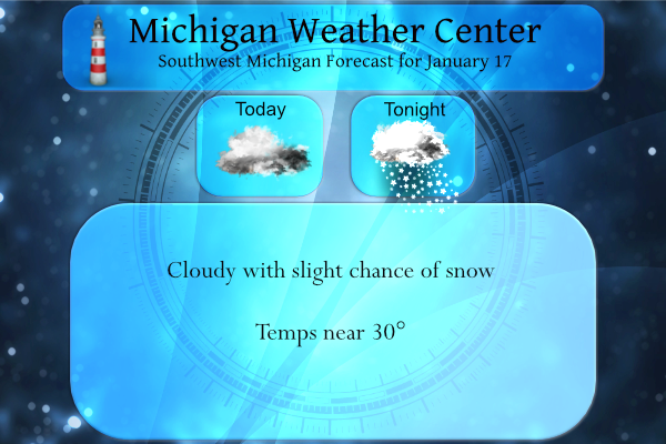
Today will not be as cold as yesterday nor will it be as sunny. Afternoon temperatures should be near 30 degrees, possibly near freezing by the lakeshore by midafternoon. There will be scattered snow flurries from time to time inland. Near the Lake Michigan shore, south of Holland there will be occasional light snow showers into the early afternoon with minor accumulations up to an inch possible.
We currently have 22° at 6 am, much warmer than the low of 2° we had for a low yesterday morning. We reached 29° for a high yesterday.
Forecast Discussion
- Light lake effect continues to be expected through tonight

So far, not really much in the way of light snow being observed yet
early this morning. Radar echoes are picking up some, but are still
light. The window of best opportunity for some mainly lake effect
along the shore is just opening up right now with the arrival of the
upper trough coming in from the West.

The same scenario that has been talked about for the last few days
still holds true. Over lake instability is on the marginal side,
inversion heights are no higher than 5k ft with a lake modified
parcel, and the DGZ is quite shallow.

This window will last into early this afternoon, before any snow
shower activity tapers off as the upper trough moves east of the
area. When all is said and done late this afternoon, we continue to
expect a dusting at most inland, to an inch or two for portions of
the lakeshore counties.

- Better lake effect threat Wednesday-Thursday

There still looks to be some light snow that breaks out Tue
afternoon across Central Lower. This snow is along a warm front that
will be nearby, extending from the main low that will traverse close
to the Lake Superior shoreline of the U.P. These snow amounts will
be light, generally less than an inch. This is because the moisture
is not exceptionally deep, the better forcing is further North, and
the DGZ is not very big.

The light snow moves out, and we could see some flurries/drizzle
develop late Tuesday night in the warm sector of the system. The DGZ
is not saturated at the time, but thankfully it looks like
temperatures will be a touch above freezing.

The cold front will come through during the early morning hours
Wednesday. The lack of a saturated DGZ will come to an end as the
colder air filtering in will allow it to resaturate. Lake effect
does not look to be too much of a factor during the daylight hours
on Wed yet as the cyclonic flow and deeper cold air will not arrive
until closer to, and after 00z Thu.

Once it does, and a healthy short wave arrives, the snow showers
will strengthen and put down a few inches of accumulation along the
coast again with a NNW flow expected. Instability over the lake will
help this cause with delta t`s increasing to the lower 20s C. The
snow showers will continue on Thursday, but they just are not
expected to be as efficient with accumulations. The coldest of the
air will be in place at that time, and the DGZ will be close to
being in the sub-cloud layer. This will produce small flakes.
Ridging at the sfc will be trying to build in, which will help to
lower the inversion heights.

The snow showers should come to an end for most places Thu night as
the flow will become offshore.

- Snow chances next weekend

We will see a short break in the snow chances around Friday, as the
upper trough moves east, and we see the ridge move through the area.
An additional round of some light snow will then spread over a
majority of the area with a weak cold front and upper wave that
moves toward the area. There is sufficient instability for some help
from the lake with a SW flow. This does not look to be too strong as
the upper cyclonic flow will remain north of the area for that time
frame.

The upper trough will eventually drop down into the area on Sunday,
with a reinforcing shot of the arctic air (850 mb temps in the
negative lower 20s C). This will help to ramp up the lake effect at
that time.
BREAKING NEWS>>>>>> Wood tv 8 day forecast has chances of snow 7 out of 8 days GREATEST SCOTLAND….InDY
The latest CPc keeps pummeling us with cold temps for weeks on end! You may be ice fishing till April!
Enjoying the cold and snowy grounds ice fishing at its best out in my hood this is by far the best Winter fun so close to home in a few years InDY must say ohhh and there is plenty more Winter fun “snow” on its way ….WHO KNEW???? InDY
Great ice fishing, snowmobiling, skiing, etc, etc,etc! Incredible!
Well, well, another WWA! This about our 7th one on top of a WSW and cold temps all month! What a winter! This is awesome baby! Keep it coming!
Yes even in Zland Michigan lol….InDY
Zeeland got pummeled with snow! It was great!
Nope. We had some freezing drizzle for about a half an hour around 1. Zero snow today. Just another below average snow day in the books.
This is an example of a system where it would make sense to call it an “Ice Advisory”, not “Winter Weather Advisory”. When I first checked the weather app for GR i was thinking it was snowing out when it’s actually icing out
Getting frizzing mist here at this time with a temperature of 31
Slim
Just read this fun fact:
Saturday was the halfway point of meterological winter. Indianapolis got 0.3″ of snow on Saturday. This was the latest Indy had ever gone without measured snow after the start of December (Indy did measure 0.5″ of snow in November, so they are up to 0.8″ of snow for the season).
While it still could change Indy is on track for one of its lowest total snow fall seasons on record. On average they get 23.0″ of snow for a season their lowest amount is 5.5″ in 1918/19. Also of note is that Chicago, Milwaukee and Madison to our west all are about a foot below average for this date and they all get much less snow than we do. Most of the snow that fell here this winter so far has been lake effect and now that has been cut off and soon the lakes will be too cold for… Read more »
Slim, where are we at here in GR, with snowfall amounts relative to normal?
All the #’s are here. We are now below for the season and for met Winter.
https://forecast.weather.gov/product.php?site=grr&product=cli&issuedby=grr
Thanks Barry!
The overnight low here was 17 the temperatures have been rising since 2 AM and now it is up to 26 here with cloudy skies. The old snow cover here is now showing its age. While it has been a long time since we have had a new snow fall the old snow on the back roads are now just a sheet of hard pack snow and ice. I am now down to 3.5″ of snow on the ground here.
Slim