Many may scratch their heads trying to read the forecast discussions I put up in the daily blog so I decided to code the glossary back into the site, it can also be found in the menu bar.
National Weather Service Glossary
This glossary contains information on more than 2000 terms, phrases and abbreviations used by the NWS. Many of these terms and abbreviations are used by NWS forecasters to communicate with each other and have been in use for many years and before many NWS products were directly available to the public. It is the purpose of this glossary to aid the general public in better understanding NWS products.
Browse by letter:
# A B C D E F G H I J K L M N O P Q R S T U V W X Y Z
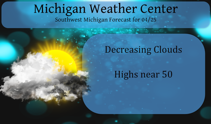
Forecast Discussion
-- Dry today and tonight with some fire concerns --

Dry weather is expected today and tonight with high pressure
moving into and through the region. We could have some fire
weather concerns today given very dry air aloft that will be mixed
down through the thermal process. Dry conditions, gusty northwest
winds and very low RH values will combine for a slightly elevated
fire danger. The good thing is the green up process has begun and
fire danger is not as high as it has been this spring. Most fire
danger reports in the area are in the moderate category with a few
in the high range.

We have the threat of some frost and potentially a bit of freezing
temperatures tonight across Central Lower Michigan. We are
thinking the clouds will come in fairly quick this evening. The
clouds combined with increasing winds overnight should mitigate
much of a frost/freeze potential in our area.

-- Warm frontal precipitation possible Monday/Monday night --

Models are kicking out some light precipitation Monday and Monday
night, especially across Central Lower Michigan. Thinking we may
be a bit too dry on Monday for precipitation. The other factor is
the moisture transport is not all that strong yet. Things chance
Monday night with a strengthening low level jet and much stronger
moisture advection. Could see some scattered showers for sure
Monday night. Best chances will be across Central Lower Michigan.

-- Better chances for rain Tuesday night through Thursday --

Much better chances for showers and some thunderstorms will exist
during the middle of the week from Tuesday night through Thursday.
The warm front will sag through the area during this time frame as
a cold front. Then...on Thursday a low will develop on the front
south of our area which will increase the chances for rain once
again, especially over Southern Lower Michigan. PWAT values
increase to around 1.3 inches which is solid for this time of
year. Both the operational ECMWF and GFS are indicating the
potential for 0.25 to 0.75 inches of rain across the area.
Obviously, flooding concerns are pretty much nil. Best chances for
embedded thunderstorms look to be from Tuesday evening, through
Tuesday night and into Wednesday.

-- Drying out for Friday and Saturday --

We dry out late in the week and into the weekend with ridging in
place at the surface. Temperatures will be warmest on Tuesday of
the upcoming week. Readings on Friday and Saturday look to be near
normals as we will be in a moderating trend into the weekend.
Wow another below average Spring day but least the sun shining May is close. ..INDY
We will have to see what the high for today ends up at but there have only been 17 years in Grand Rapids history that April 25 has not reached 50 or better at the current time the official reading in 46. It is now 45 here and sunny. Of note in 14 of the 17 years it either was rain or it snowed so not many of the below 50° years were sunny.
Slim
It had been a very cold week, in fact we had snow flurries this morning! Incredible!
Wow, that is one gigantic glossary of weather terms!
That is for sure. I have book marked the page for future use.
Slim
For what it is worth Paul Pastelok at Accuweather has his summer outlook. For Michigan and most of the Great Lakes area he thinks that there will more thunder than average and temperatures near to just above average. He thinks the summer will be cooler over all than last summer and just about as wet. His ideas are for “ A weak La Nina to neutral phase of ENSO is expected this summer. The trend we followed was a La Nina in the preceding winter, transition to neutral or weak La Nina in spring and closer to neutral through summer.… Read more »
This April has sure has its up and downs temperature wise. So far this month has has 10 days with means above average and 14 days of below average means. The current mean at Grand Rapids of 47.5 is +0.7 but earlier in the month it was well over +5.0 and now looks to end the month within a degree of average. At this time it is cloudy here and a cool 40.
Slim