
Today we look at the weather over the northern hemisphere – some of these will auto-update so you can check back on this post for updates… What goes around usually comes around meaning whatever is going on in Europe, Canada and Russia will eventually have an effect on our weather in the future. Typhoons and low pressure centers moving northward in the eastern Pacific and the Arctic Oscillation are two factors in how cold air moves around and over the north pole along with snow cover and Arctic ice forming in and around Canada and Siberia.
Below are the current snow and ice cover maps for the northern hemisphere, click to enlarge).
[columns] [span3]
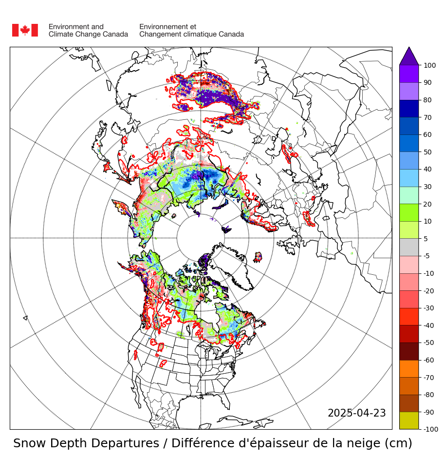
Departure from Normal
[/span3][span3]

Northern Hemisphere Current
[/span3][span3]

North America Current
[/span3][span3]

Western Current
[/span3][/columns]
[columns] [span3]

Asia and Europe
[/span3][span3]

Current Arctic Sea Ice
[/span3][span3]
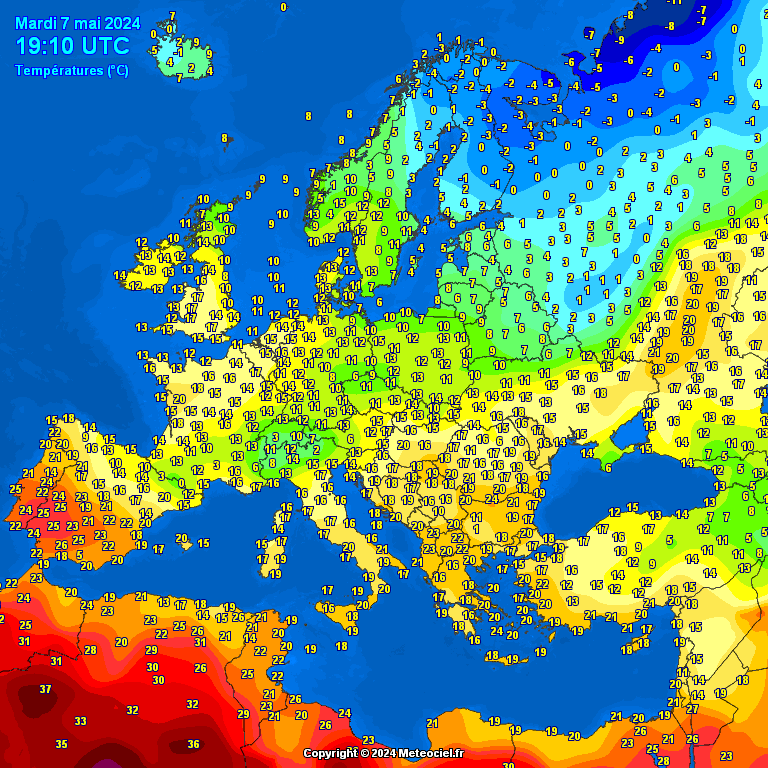
Current European Temperatures
[/span3][span3]
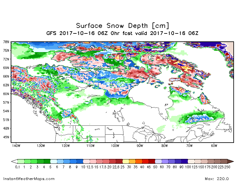
Current Canadian Snow Depth 10-18-17
[/span3][/columns]
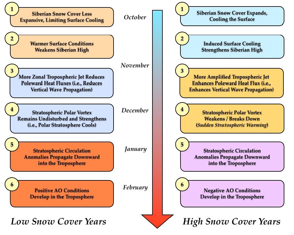 Through mid-October snow cover advance across Eurasia is so far been more rapid than normal though less than last year. With the AO/NAO predicted to turn negative to end the month of October, confidence is growing that October Eurasian snow cover will be above normal once again this year.
Above normal Eurasia snow cover favors a strengthened Siberian high and a weakened polar vortex/negative AO this upcoming winter with cold temperatures across the continents of the northern Hemisphere. North American snow cover is also above normal and is more than last year at this date and near decadal highs. When the pattern turns more amplified across North America, more extensive snow cover could support colder Arctic air masses.
Currently no phase of the Madden Julian Oscillation (MJO) is favored. However over the next two weeks the forecast is for the MJO to enter first phase five and then phase six. MJO phases five and six favor colder temperatures in the Eastern US and milder temperatures in the Western US. This is consistent with the model forecasts and suggestive that the MJO is contributing to the predicted pattern change across North America.
Arctic sea ice reached its annual minimum on September 13th. Despite that Arctic sea ice is now growing, large swaths of the North Pacific side of the Arctic basin are ice-free. Recent research has shown that regional anomalies are important and the sea ice region most highly correlated with the winter AO is the Barents-Kara seas region where low Arctic sea ice favors a negative winter AO.
I will note that sea ice in the Barents-Kara-Laptev Seas is currently more extensive compared to last year at this time. However it is early and the magnitude of winter sea ice anomalies in the Barents Kara Seas and other seas in the Arctic are not currently known. Given that sea ice is running below normal, this favors more extensive Siberian snow cover in the coming weeks, followed by a strengthened Siberian high and a weakened polar vortex/negative AO this upcoming winter.
Should these forecasted conditions continue we could see a cold snowy winter for the eastern half of the U.S. – this is not my winter forecast (yet) all these things have to fall in place to become true….
Record Tornado Outbreak in 2007
A strong and potent storm in the Upper Great Lakes drove a cold front through Lower Michigan during the evening and overnight hours on October 18 and 19. Ahead of the cold front the atmosphere was very warm, moist and unstable. These conditions combined with the strong storm to produce a widespread tornado and severe weather outbreak across the Great Lakes, Ohio Valley, and Tennessee Valley. Tornadoes were reported across Northern Lower Michigan, Southwest Lower Michigan, Southeast Lower Michigan as well as Northern Indiana.
Eleven tornadoes have been confirmed in Michigan’s Lower Peninsula during this outbreak. Unfortunately, three people were killed in the state, two near Williamston and one near Kalkaska. Five tornadoes have been confirmed in Southeast Michigan in Shiawassee, Genesee, Tuscola and Huron Counties.
While October tornado events in Southeast Michigan are rare, October 18 and 19, 2007 is reminiscent of October 24, 2001. On that date, 9 tornadoes developed across Michigan including three in Southeast Michigan. Looking specifically at Southeast Michigan tornado statistics, we find that 7 October tornadoes have occurred between 1950 and 2006, including those 3 back in 2001.
The tornado in Shiawassee County was a continuation of the Williamston/Ingham County Tornado. The tornado moved from Ingham County into Shiawassee County for about 2 miles, just south of Perry. In Shiawassee County, the tornado damage was rated as an EF1 on the Enhanced Fujita Scale with winds estimated up to 100 mph. Damage in Shiawassee County occurred around 10:53 p.m. and included 4 barns and 3 houses. One house had windows blown out, one farm house had a section of roof taken off, and the third modular home had the entire roof taken off. The damage path in Shiawassee County was about 100 yards wide.
The tornado in Genesee County occurred around 1:06 a.m. in Thetford Township about 5 miles east of Clio. The tornado was rated as an EF0 with winds estimated around 80 mph. The tornado damage was 2 1/2 miles long and 50 yards wide. It started near Center and Vienna Roads and ended in Buell Lake Park. Most of the damage was to large trees with many snapped or uprooted. One home had shingle damage and a barn had a portion of its metal roof peeled off.
The Millington tornado in Tuscola County occurred around 1:16 a.m. This tornado was rated a strong EF1 with winds estimated around 105 mph. The tornado damage was 2 miles long and 30 yards wide. The tornado started just west of Barnes and Fulmer Roads just southwest of town, where a modular home was completely destroyed and a framed house lost a section of its roof. The tornado ended north of Main Street and Caine Road in Millington.
At around 1:45 a.m. two miles west of Deford in Tuscola County, a tornado rated as EF1
with estimated winds around 95 mph caused substantial damage. Its damage path was around
100 yards wide and about 3 miles long. A garage was destroyed, several houses
sustained roof damage, and numerous trees were snapped off or uprooted.
At around 2:30 a.m. four miles west of Port Hope in Huron County, a tornado rated as EF1
with estimated winds around 100 mph caused substantial damage. Its damage path was around
100 yards wide and about a mile long. Large heavy farm machinery was lifted and displaced,
and a farm shed was moved about 120 feet off of its foundation. Also, the walls of a large
barn were lifted 6 to 8 feet from their foundation.
Here is the updated CPC guess for November 2017
http://www.cpc.noaa.gov/products/predictions/30day/
and for DJF
http://www.cpc.noaa.gov/products/predictions/long_range/seasonal.php?lead=2
If that plays out it will be time to wake rocky up!
Slim
In looking at the CPC’s long range guess I am not sue how we go from this
http://www.cpc.noaa.gov/products/predictions/30day/
to this
http://www.cpc.noaa.gov/products/predictions/long_range/seasonal.php?lead=1
and then to this
http://www.cpc.noaa.gov/products/predictions/long_range/seasonal.php?lead=2
here is the JFM guess
http://www.cpc.noaa.gov/products/predictions/long_range/seasonal.php?lead=3
We shall see. I can see where there could be some major risks with the CPC’s long range guess.
Slim
My thinking is that the really cold air comes in February – looking at long range guesses this may last into May.
I cut the grass yesterday. That was the first time I had to cut the grass in a long, long time. I can not remember when the last time I cut it was. But boy it sure does look nice now. Almost spring time green. Right now, Grand Rapids mean temperature for October is 60.1° and that is +6.8° at this time this is the warmest October since 2007. With 3 or 4 more well above average days yet to go. BTW October 2007 ended up with a mean of 58.1° +7.1° And November 2007 ended up with a mean… Read more »