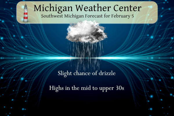
We are moving upwards on our winter roller coaster ride once again. This has truly been a winter of extremes from bitter cold and snow to mild temperatures and rain. The CPC predicts we are going to transition from La Nina to ENSO-neutral during the rest of the winter into spring. Temperatures and precipitation will be above normal through most of the rest of the month which could make for some interesting weather with a more zonal pattern setting up. High temperatures over the next several days will climb above freezing with the 40s more prevalent and rain. Patchy drizzle or snow grains are possible today, and the amounts will be very light if any.
Grand Rapids Forecast
2 5 grrLansing Forecast
1 5 lanKalamazoo Forecast
1 5 kzoForecast Discussion
- Low Risk for Patchy Drizzle This Morning

A cold front continues to approach the area from the Northern Plains
while prolonged warm advection across the lowest 850mb has supported
slightly increasing moisture. Given the lower profile of the
moisture below the DGZ, drizzle is the main expected mode of
precipitation. Even so, moisture is still very lacking. No major
impacts are expected given the lack of moisture as well as the
near to above freezing temperatures. As the cold front sweeps
through this afternoon temps will fall leading to any lingering
precip to transition to flurries.

- Cold Front Monday Night into Tuesday

Low to mid level ridging moves in Sunday night into much of Monday
leading to quiet weather. A deepening low pressure system well to
our north in northern Ontario and Southern Hudson Bay will track
eastward Monday evening. This system will have a sweeping arctic
cold front that will extend southwards into lower MI late Monday
into Tuesday. Ahead of the front, deep layer southwest flow will
support warming overnight temperatures Monday into Tuesday.
Northward transport of moisture should be strong enough to support
some early morning rain Tuesday as the front sweeps through, but
QPF stays limited to a little over a tenth of an inch at most.

- End of the Week System

Conditions stay dry and mild Tuesday afternoon into Wednesday
with afternoon highs both days in the upper 30s to 40s as split
flow dominates the pattern. There remains strong deterministic
guidance consistency on a deeper low ejecting out of the Southern
Plains into the Great Lakes Region by Thursday. Given the stronger
southerly flow with easier access to Gulf moisture, this system
is expected to be wetter with rain acting as the primary
precipitation at the onset with the initial warm advection. As the
low tracks northeast Thursday night, the flow will shift
northerly bringing colder air with precip beginning to transition
to snow into Friday morning. Guidance continues to suggest there
will be enough cold air to support some lingering lake effect snow
showers into Friday with a few inches of accums possible.

This melting snow sucks. I do a lot of timber stand improvement and gathering of firewood for next year during the winter months when the ground is frozen. Well not this year. Yesterday the ground finally froze enough to get machinery out into the woods and today it is now a sloppy, slippery mess. I barely got my tractor (4×4) out. This winter has to be one of the worst in recent memory for enjoying the cold and snow. I am sure we will get more snow, but with the days getting longer I doubt we get enough persistent cold… Read more »
What exactly is timber stand improvement? Cutting and thinning out the woods of trees?
Yes, thinning undesirable trees to maximize lumber or nut production. I primarily remove scraggly or overcrowded trees and burn them for heat the next year. This lets more light into the forest floor, increasing forage quality for animals, and increases the growth of existing trees.
Welp that was it. Let it melt, let it melt, let it melt!
Happy Weatherperson Day!!
+1
Looking like some wonderful weather coming up! Gonna be an awesome few weeks and beyond as we transition into wonderful SPRING! Who wouldn’t want warm weather this time of year???
https://weather.com/weather/tenday/l/b523690bfd952b86fef3627c919dd9855281a8da16b83c10bdd381c64ae12cbc
Wow!
Wow to the Wow!! Just WOW!!
The big MELT begins today, it started a bit yesterday!! Get out there and enjoy the WARMTH people!!
Get ready! The last 1/3 of Feb and the beginning of March will be wild! Wow to the wow!
Good morning! With a lot of sunshine the official H/L at Grand Rapids yesterday was 35/9 there was 84% of possible sunshine thus there was no rain or snow fall. There was officially 5” of snow on the ground at GRR. Here at my house the temperature fell to 21 last night before midnight and then has gone up to the current reading of 35 with clear skies. For today the average H/L is 31/18 the record high of 52 was set in 1991 and the record low of -16 was set way back in 1895. The most snow fall… Read more »