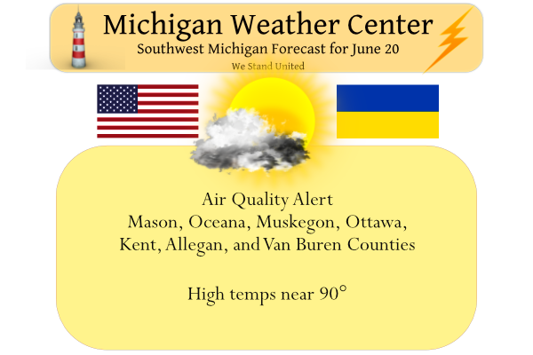
We will see temps near 90° or better most of this week with very small chances of rain. There is an area of rain confined to the eastern portion of the state this morning.
Yesterday’s high in Otsego was 80° and the low 49°. There will be some clouds around this morning which will create a partly sunny sky. The clouds are expected to depart this afternoon with skies trending mostly sunny. Winds will be from the southwest at 10 to 20 mph.
Air Quality Alert
The Action Day is in effect for the following Michigan counties...

Mason, Oceana, Muskegon, Ottawa, Kent, Allegan, and Van Buren.

People and businesses are urged to avoid activities which lead
to ozone formation. These activities include refueling vehicles
or topping off when refueling, using gasoline powered lawn
equipment, and using charcoal lighter fluid. Positive activities
include car pooling, biking to work, delaying or combining
errands, and using water based paints.

It is recommended that active children and adults, and persons
with respiratory diseases such as asthma, limit prolonged
outdoor exertion.
Forecast Discussion
--Early Monday Morning showers possible--

Moisture streaming southward on the eastward side of a building
ridge continues to dissipate as showers move into the dry, stable
air of Central and Southwest Michigan. The better instability and
moisture of the thumb will allow for scattered showers there.
Isolated showers, especially along the US 127 corridor at and
south of Lansing, remain possible. However, QPF should be light
and any convection will be done by midday.

-- Warm and Dry through the week --

The upper level ridge will continue to move over the region
through Tuesday bringing a dry and hot air mass over the region.
This ridge will tilt positive and slowly weaken as a mid level
trough will break down the ridge allowing for a weak front to move
through Tuesday night into Wednesday. This will bring the next
chance for precipitation. However there are questions. The EC has
light QPF but the GFS does not. Though there is some mid level
moisture and mid level instability, dry air will filter in
quickly behind it. The trough will bring in some slightly cooler
air which should bring the temperatures from the mid 90s on
Tuesday, to the mid to upper 80s on Wednesday. Warm and dry will
continue into the weekend with the next chance for precipitation
coming Saturday night into sunday in the form of an upper level
low moving along the Canadian border and sweeping through the
Great lakes region. There is some disparity in the timing and
position of this between the mid to long range ensembles.

One month ago today I was hit by the Gaylord EF-3 tornado. Went back and watched the video I took today. I’m still shocked my car has not 1 scratch when others around me were destroyed. I know god kept me safe in that moment. I’ve chased tornadoes in Alabama and have done so safely every single time. This was a case where there was backed up traffic and not many places to escape to.
In a major about face the updated CPC long range guess has gone from above average temperature to below than near to below average temperatures but overall it looks dry’
https://www.cpc.ncep.noaa.gov/products/predictions/610day/index.php
and then
https://www.cpc.ncep.noaa.gov/products/predictions/610day/index.php
and that is up to the 4th of July.
Slim
A return to near normal precipitation will be nice because it is going to get very dry here over the next week
Storm reports from one year ago today:
https://www.spc.noaa.gov/exper/archive/event.php?date=20210620
We are entering into an extremely boring weather pattern! Very little rain in sight. Good for keeping outdoor activities dry, but no fun for tracking. We are in the core of severe weather season from now through August. June and July though tend to be the better months though. So far no Severe Thunderstorm Warning for Kent County this year yet. One has to wonder if we will ever go through an entire summer with no warning? I’ve gone 2 years with no winter storm warning headline or I think even watch headline so I assume it could happen with… Read more »
So far there have been only 12 reported thunder(storm) events. Officially any thunder is considered a thunderstorm and so far at Grand Rapids there have been 2 in March 4 in April 3 in May and so far just 3 in June. Remember one lightning strike or one rumble of thunder counts as a thunderstorm.
Slim
Yeah thunderstorms have been a little hard to come by in parts of the area. I’ve had a handful of storms.
Longest days of the year is here enjoy we all know the days get shorter soon and we all know whats to come yeahhhh INDY
Grass is really starting to dry out and not much rain in sight. The summer pattern is starting to set in
Yup. Lot of brown showing up now, time to pull the sprinklers out today. All the heat and sun we’ve been having dries things out in a hurry.
Yesterday was a great summer day with lots of sunshine and comfortable temperatures. The official H/L at Grand Rapids was 80/51 there was no rain fall and 82% of possible sunshine. The overnight low here in MBY was mild 65 at the current time with clear skies it is 67 here at my house. For today the average H/L is 80/60 the record high of 102 was in 1953 and the record low of 41 was in 1970. This week still looks to be on the hot to very warm side with highs in the mid to upper 80’s on… Read more »