Couldn’t ask for better weather for the solar eclipse yesterday with sunny skies and warm temperatures. We had 74° when the eclipse started then the temperature dropped to 68° as the moon reached 94% coverage rising back to 74° after the eclipse. Dewpoints went from 49 to 45° and the ultraviolet radiation index went from 6 to 0. I didn’t see any difference in wildlife activity as the birds continued their usual feeding at our feeders during the event. All in all a nice event to experience, I probably won’t be around for the next event in August of 2045 (unless I live to 90).
NWS Forecast
Weather History
1969: A brief tornado damaged a house near Loomis in Isabella County.
1973: A snowstorm dumps 3 to 8 inches of snow across much of Lower Michigan. Record snowfall for the date includes 6.5 inches at Muskegon, 5.2 inches at Lansing, and 4.4 inches at Grand Rapids.
2008: A tornado hit from near Plainwell in Allegan County to Doster in Barry County at 1:40 a.m. It did significant damage to a horse barn, lifted a trailer adjacent to the barn, damaged gravel yard equipment, lofted a tank, and uprooted numerous large trees. (I remember this one. )
On April 9, 2016, a late-season snowstorm that began the night before produced significant snowfall over southern portions of the area. Adrian measured 7.2 inches and 6 to 7 inches fell in Temperance, the Irish Hills, and Manchester.
Also on April 9, 2001, Ann Arbor, Manchester, Saline, and Belleville had reports of golfball size hail during the morning hours. Other areas in Metro Detroit reported 2-3 inch diameter hail.
1889: The Norfolk Landmark reported that damage was more substantial than the August 1879 hurricane because it lasted for a much longer duration- the water was 18 inches higher. Rain, snow, and sleet fell, totaling 3.2 inches. Drummonds Bridge was swept away (later replaced by the Ghent Bridge). Trees were uprooted, and roofs were torn off.
1947: An estimated F5 tornado struck Woodward, Oklahoma during the late evening killing 95 persons and causing six million dollars in damage. The tornado, one to two miles in width, and traveling at a speed of 50 mph, killed a total of 167 persons along its 221-mile path from Texas into Kansas, injured 980 others, and caused nearly ten million dollars in damage.
1953: The first radar image of a tornado was detected by radar equipment at the University of Illinois Airport in Champaign, IL. Studies of the radar pictures from that day showed that a tornado of significant size and intensity could be detected. Click HERE for more information from the State Climatologist Office for Illinois.
Forecast Discussion
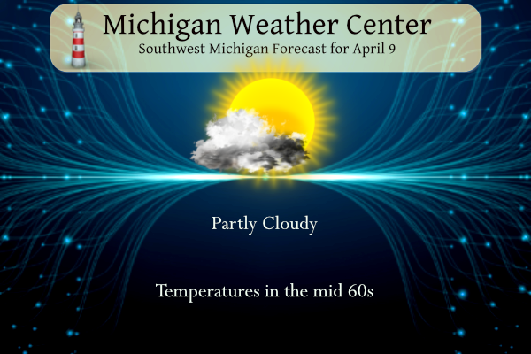
- Few Showers / Storms Across Northwest Early This Morning

A quiet morning to start the day across West Michigan while a few
showers move through Mason County. Enhanced mid-level moisture and
steeper lapse rates will support an isolated storm or two as these
showers move through North Central Lower Michigan. The associated
low will pivot northeast out of the region after daybreak with high
pressure filling in on the backside. Any remaining showers exit near
daybreak with dry conditions through the rest of the day. Clouds
scatter out this afternoon as temps warm into the 60s inland and
50s near the lakeshore. Southerly winds will shift westerly in
the afternoon and turn breezy.

- Potent late week system brings rain and wind

Guidance has been trending farther west with the deepening sfc low
which tracks into srn lwr MI by Thursday evening. This makes
widespread/soaking rains even more of a certainty Wednesday night
and Thursday, with amounts in excess of one inch likely for most
areas. It also introduces a stronger chance of thunder especially
over ern sections Thursday afternoon and evening as the negatively
tilted deep upper trough approaches.

The other aspect of this system will be strong winds and chilly air
after the sfc low goes by late Thursday night into Friday. Consensus
is for a roughly 985 MB sfc low to be in the vicinity of Lk Huron at
12Z Friday, moving northeast from there. Gusts out of the northwest
may reach 45 mph on Friday as more showers continue within the
mature system`s comma head/cold conveyor belt. Temperatures will
struggle to get out of the 40s with strong cold advection and H8
temps near or a bit below 0C.

- Warmer air returns over the weekend into early next week

Abrupt pattern shift occurs over the weekend as deep upper trough
lifts out and strong warm advection pattern shifts our way from the
southwest. After a dry Saturday with sfc ridging moving across, a
cluster or two of elevated tstms appears possible Saturday night
into early Sunday on the nose of a returning low level jet. This
could be followed by additional diurnal storms Sunday afternoon but
that`s highly dependent on location of sfc boundaries and air mass
recovery in the wake of earlier nocturnal storms.

Above normal temperatures look to be a good bet early next week as
amplified upper ridge builds in our direction from the west. However
location of the main baroclinic zone/warm front and associated
higher risk of showers/storms is less certain at this time.
INDIANAPOLIS MOTOR SPEEDWAY was amazing yesterday I was standing about 15 feet from the weather channel Jim Cantore he made the day more special so full of engery he is a true weather ambassador of weather Jim kept yelling out the temperature dropping he was amazed over that when it was full totality lol in a nutshell Yesterday was one of the best times of my life truly beautiful that when it comes to something this major over our heads that we the people on earth have no control over we are little icons to what took place in the… Read more »
I have to agree with Kyle the eclipse was great. There were some high clouds but that did not make much difference. I seen the one in 2017. In 2017 the cornea was not as visible as it was yesterday. And yes it was a very nice day. And the traffic after was not much.
Slim
The eclipse yesterday was stunning. I had chills when it was going on. So happy to have had the chance to see totality. I was just southeast of Findlay, Ohio at the Findlay Reservoir (beautiful place). Totality lasted several minutes. You can see the darkness in the sky coming at you almost like a storm coming in. The temp dropped, birds stopped chirping, and even the wind stopped blowing. It was very gusty before totality. Too bad these don’t happen more frequent here. Stunning.
It’s strange because 2044 sounds REALLY futuristic, but so does 2024. Still not used to it being the 2020s, but maybe that’s just me
Michael, We didn’t notice much difference either in wildlife. Kiddo actually said I thought it was going to get darker. I used it as a moment to be in awe of even though the sun is covered this much look how bright it still is. Isn’t that crazy?? Our evening light on north side of building did come on for a bit. Glad we had such a beautiful day, especially when there were prediction for clouds. We kept checking it every few mins until the end and we watched it disappear. Did anyone else giggle with all tht last minute… Read more »
I couldn’t help but laugh. So many people wanting them at the last minute.
Yesterday’s weather will be remembered for decades. A full eclipse with 100% sunshine and temps in the 70’s!
We have another great day on tap. You know it’s going to be a nice spring day when you wake up and the temp is already at the average high for the day.