We have a half inch of snow on the ground this morning with a temperature of 26°. It is forecast to be around 40° or lower for the rest of the week except for Tuesday when the temperatures may rise to the mid-40s.
NWS Forecast
Weather History
1925: The Tri-State Tornado kills 695 people and injures over 2,000 along its 219-mile-long damage path through Missouri, Illinois, and Indiana. It is by far the worst tornado in United States history. The weather in Lower Michigan is relatively tranquil with highs in the 50s and rain changing to snow during the night.
On March 18, 1959, the overnight temperature dropped to 3 degrees in Flint, setting the record for the lowest overnight temperature for this day in Flint.
1925: The great “Tri-State Tornado” occurred, the deadliest tornado in U.S. history. The storm claimed 695 lives (including 234 at Murphysboro, IL, and 148 at West Frankfort, IL), and caused seventeen million dollars in property damage. It cut a swath of destruction 219 miles long and as much as a mile wide from east-central Missouri to southern Indiana between 1 PM and 4 PM. The tornado leveled a school in West Frankfort, Illinois, and picked up sixteen students setting them down unharmed 150 yards away. Seven other tornadoes claimed an additional 97 lives that day.
1952: 151.73 inches of rain fell at Cilaos, La Reunion Island in the Indian Ocean over five days (13th-18th) to set the world rainfall record. This record was broken on February 24th-28th, 2007, when Commerce La Reunion Island picked up 196.06 inches.
1990: An intense hailstorm struck the Sydney region in Australia, producing strong winds and torrential rains in a swath from Camden to Narrabeen, causing extensive damage. Hailstones were measured up to 3 inches in diameter. The total insured cost was estimated at $319 million, the third-largest loss event in Australian insurance history.
Forecast Discussion
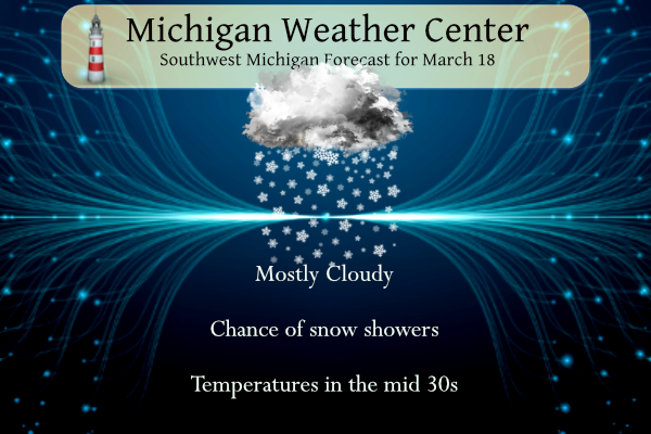
- Snow showers to diminish today, snow chances North tonight

As expected, periods of snow showers continue to be concentrated
along the lakeshore with much less coverage inland early this
morning. This is all the result of cold enough air producing
sufficient instability over Lake Michigan, and the main upper trough
axis dropping through the region.

Radar imagery indicates a likely sfc reflection of this trough over
the southern portion of the lakeshore from Holland through South
Haven at 07z. Additional snow showers are ongoing up north, but
radar returns and sfc visibilities are not indicating anything
significant falling. This relative break behind the sfc reflection
is some short wave ridging in the wake of the trough.

Inversion heights up around 8k ft will remain up into this morning
before sinking late this morning and afternoon. This is because the
upper trough and cold pool will be exiting the area. This will help
to diminish the snow shower intensity and coverage. Can not rule out
an inch or two near the lakeshore under the heavier snow showers
through the morning. By afternoon, accumulations will be little to
none as we warm up above freezing and ground sfcs will rise with
solar radiation.

We will see another chance of some light snow tonight. This light
snow will be focused roughly on the NE half of the area. There is
another wave and sfc low that is moving through the Northern Great
Lakes. This setup does not look favorable for much of any snow for
our area. We see mid level moisture move through with limited low
level moisture. Then by the time some low level moisture moves in,
the mid level moisture is gone. Mainly quiet weather is expected by
Tuesday, with temperatures about 10 degrees warmer as we will be in
the warm sector of this system.

- Slight chance snow showers Tuesday night

A clipper tracks southeast out of Canada Tuesday night in fast
northwest flow but the low center remains to our north and moisture
is limited. Model guidance and WPC QPF indicate lake enhanced snow
showers for late Tuesday night into Wednesday morning and slight
chance POPS have been expanded south to cover most of the forecast
area in this northwest flow regime.

- Chance of Snow/Mix Late Week

Complex evolution of the flow regime across the CONUS middle and
late next week with a rex block across the West breaking down and
upper low moving east. Model guidance has largely converged on a
solution showing more troughing/lower heights extending south across
the Great Lakes from a polar vortex across Hudson Bay by Friday with
a baroclinic zone along the US-Canadian border. An area of snow
blossoms in this baroclinic zone across the NW CONUS/SW Canada on
Wednesday and moves southeast along the arctic front, arriving in
Lower Michigan by late Thursday into Friday. This could bring at
least a light accumulation of snow.

Unsettled weather looks to continue into the weekend with an
inverted trough bringing snow and mixed precip on Saturday or Sunday.
Since Rocky was asking for this earlier, guess I’ll share it now!!
Pathetic!
I love the temps this week! Those 60’s and 70’s are way too hot for this time of year! Keep it rocking!
What? A cooler week? Temps on Wed will struggle to get above freezing in GR on Wednesday! Incredible cold!
The official H/L yesterday was 38/29. There was 0.4” of precipitation that fell as 0.2” of snowfall. The highest wind speed was 33 MPH out of the W. There was 7% of possible sunshine. For today the average H/L is 45/27 the record high of 75 was set in 1894, 1903 and 2012. The record low of 5 was set in 1923. The wettest was 1.06” that fell as 3” of snow in 1899. The most snowfall was 5.7” in 1965. The most on the ground was 13” in 1904. Last year the H/L was 27/15 and there was 4”… Read more »
With a H/L of 38/29 yesterday was the 1st day of below average temperatures this month. The current mean for March is 45.5 but that will fall a good amount this week. At this time there is light snow falling with a temperature of 28 and there is a trace of snow on the ground.
Slim