If you haven’t done so yet set those clocks ahead one hour no matter how much it peeves or excites you it is a reality as we move forth from the past to the present into the future our manipulation of time has caused us an hour loss of sleep. I could get into the physics and mathematics of time but it is complex and hasn’t much to do with the weather with the exception of measurement of date and time of those events so I will leave well enough alone.
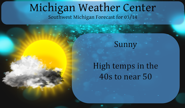
We have the expectation of another day of sunshine before a more active weather pattern sets in beginning tomorrow with chances of a mixed bag of precipitation.
Out west heavy snow and blizzard warnings continue:

Heavier precipitation bands are moving up from Colorado where moderate to heavy snowfall is already being reported. Winds will increase later tonight across much of the area and therefore Blizzard Warnings have been expanded to include Cheyenne and Sidney starting at 11 PM MST Saturday. Travel will become extremely dangerous if not impossible once the heavy snow begins and especially later tonight into Sunday.
This is a long-duration event – blizzard warning continues through Monday morning.
SitReport1
Forecast Discussion:
There are two low pressure areas to watch this week. The first is
forecast to slowly approach from the southwest on Monday with a
wintry mix possible Monday morning across the southwest forecast
area. This area of mixed precipitation spreads north and weakens
by Tuesday as the low occludes and dry air continues to feed into
Lower Michigan on easterly flow. This is a favorable synoptic
setup for freezing rain but QPF is relatively light so impacts are
not expected to be great. P-type may be mostly snow across the
northern half of the forecast area where model soundings show
thermal profiles below freezing through the column.

A second low forms over the Southern Plains quickly in the wake
of the first one, and tracks northeast. There has been a southward
trend in recent model guidance, but enough spread to suggest that
the more northward track shown by several ensemble members can
still verify. The blended forecast weighted toward the GFS, has
followed the southward trend with the low and POPs are now lower
than yesterday across Lower Michigan. P-type is once again an
issue. The model guidance shows a high centered to the north as a
source of cold air, so snow or mixed precip would be the most
likely p-type Thursday into Friday. The storm moves east by Friday
night and Saturday.
I hope everyone was able to get out and enjoy this beautiful day! Whether you skied, golfed or spent the day playing and being with family I hope you enjoyed the day! We took the dogs for a nice walk and then I played tennis with my grandson (12 yrs old). We sat out in the sun and before you knew it it was time to make dinner. We made home made veggie pizzas that were the best. Have a great week! 🙂
Just Spectacular golf weather for next weekend too!!! Spring just keeps ROCKING!!!
https://weather.com/weather/tenday/l/b4ea0280869baa46799dc75eacef8904785ec43ad2f6fb098355fbc208a55e2c
Forget golf! It is another near perfect ski day at Nubs! Temps in the low 30’s and sun! I love skiing in March! It does’t get better than this! Let’s see another snowstorm! I love it!
Oh man, 60’s in the forecast for next weekend!!! This early spring weather is outstanding!! Maybe another 9 holes or so today! I love front and back loaded SPRINGS!!! Bring it!!
https://weather.com/weather/tenday/l/b4ea0280869baa46799dc75eacef8904785ec43ad2f6fb098355fbc208a55e2c
The official low at Grand Rapids looks to have been 35 but here at my house I got down to 26. At the time it is sunny here with a reading of 34. So far this month has been sunny and dry with just 0.05″ of rain at GR. Just a trace of rain at Muskegon, 0.01″ at Holland, 0.07″ at Kalamazoo and the “wet” spot so far is Lansing with 0.09″.
Slim