
[kad_youtube url=”https://youtu.be/mN7LW0Y00kE” maxwidth=600 ]
This is one of the old Christmas standards from Dean Martin and is a good segue into this holidays weather coming up. We have multiple winter weather advisories for the area and warnings for St. Joseph and Berrien Counties. Here is the latest from the NWS as of 7:30am. Unless otherwise noted the Advisories are in effect until 7:30 Monday night.
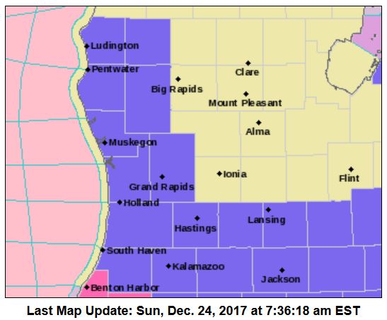 Winter Storm Warning – Berrien and St. Joseph. Accumulations of 3 to 5 inches are expected today. Lake effect
snow accumulations of 2 to 4 inches are expected tonight and Monday. Total snow accumulations between 5 and 9 inches are forecast.
Winter Weather Advisory – Mason, Lake, Oceana, Newaygo, Muskegon, Ottawa and Kent counties. Snow and blowing snow expected. Plan on slippery road conditions, including during the evening commute on Monday. In addition, some reductions to visibility are expected. Total snow accumulations of 3 to 5 inches are expected.
Winter Weather Advisory – Eaton, Ingham, Calhoun, and Jackson counties. Total snow accumulations of 1 to 3 inches are expected.
Winter Weather Advisory – Allegan, Barry, Van Buren, and Kalamazoo counties. Snow and blowing snow expected. Plan on difficult travel conditions. Total snow accumulations of 4 to 7 inches are expected. Winds gusting as high as 35 mph will cause patchy blowing and drifting snow.
Winter Weather Advisory – (from 1pm to 10pm today) Livingston, Oakland, Macomb, Washtenaw, Wayne, Lenawee and Monroe Counties. Total snow accumulations of 2 to 4 inches are expected.
Winter Weather Advisory – Eaton, Ingham, Calhoun, and Jackson counties. Total snow accumulations of 1 to 3 inches are expected.
Winter Weather Advisory – Livingston, Oakland, Macomb, Washtenaw, Wayne, Lenawee and Monroe Counties from 1 PM this afternoon to 10 PM EST this evening.. Total snow accumulations of 2 to 4 inches are expected.
Winter Weather Advisory – Huron, Sanilac and St. Clair Counties from 3 PM this afternoon to midnight EST tonight.. Total snow accumulations of 2 to 4 inches are expected.
All in all it appears we will have a white Christmas and a cold one with the wind and Arctic air moving in. Santa may need his Doppler radar to get around tonight.
Low pressure moving through the Ohio Valley will bring snow to Lower Michigan today, then arctic air will bring cold temperatures and lake effect snow showers through much of this week.
No changes to the Winter Weather Advisory as a general 2 to 4 inch snow event is expected today in the advisory area followed by another 2 to 4 inches of lake effect snow by Monday evening. Fairly high confidence forecast given good run to run model consistency.
We will have to watch for the formation and evolution of a dominant lake effect snow band today, which is depicted by the HRRR and other models coming onshore in the southwest forecast area by late afternoon or early evening. This could have high impact on travel especially on Interstate 94 west of Kalamazoo. Snow and blowing snow will also be an issue for travel tonight and on Monday as northwest winds gust over 20 mph and snow will be dry and powdery as snow to liquid ratios will be over 20 to 1.
Today: Snow showers, mainly after 8am. High near 25. Northeast wind 3 to 7 mph. Chance of precipitation is 100%. Total daytime snow accumulation of around 3 inches.
Tonight: Snow showers. Low around 19. North wind 6 to 14 mph becoming west after midnight. Chance of precipitation is 100%. New snow accumulation of around 2 inches.
Christmas Day: Snow showers. Areas of blowing snow. High near 22. Wind chill values as low as zero. Breezy, with a west wind 14 to 23 mph, with gusts as high as 32 mph. Chance of precipitation is 90%. New snow accumulation of around 4 inches.
Monday Night: Snow showers likely, mainly after 1am. Mostly cloudy, with a low around 8. Wind chill values as low as -7. Breezy, with a west northwest wind 13 to 20 mph, with gusts as high as 30 mph. Chance of precipitation is 60%. New snow accumulation of around an inch possible.
Tuesday: A 50 percent chance of snow showers. Mostly cloudy, with a high near 12. Northwest wind around 11 mph.
Tuesday Night: A 30 percent chance of snow showers. Mostly cloudy, with a low around 7.
Wednesday: A 30 percent chance of snow showers, mainly before 1pm. Mostly cloudy, with a high near 14.
Wednesday Night: A slight chance of snow showers. Mostly cloudy, with a low around 5.
Thursday: A chance of snow showers. Mostly cloudy, with a high near 17.
Thursday Night: A chance of snow showers. Cloudy, with a low around 12.
Friday: A chance of snow showers. Cloudy, with a high near 21.
Friday Night: Snow showers likely. Mostly cloudy, with a low around 11.
Saturday: A chance of snow showers. Mostly cloudy, with a high near 19.
…and of course we have to have Bing singing of a White Christmas…
[kad_youtube url=”https://youtu.be/BOrwX11CbsY” maxwidth=600 ]
If you want to track Santa’s journey you can find the NORAD Tracker here.
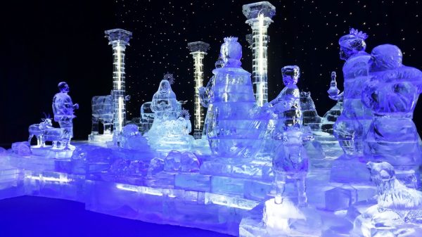
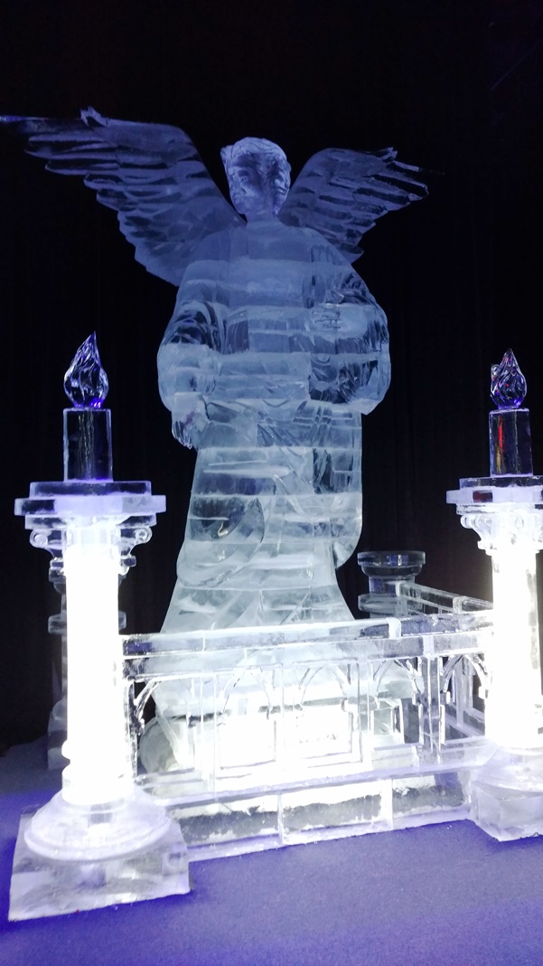
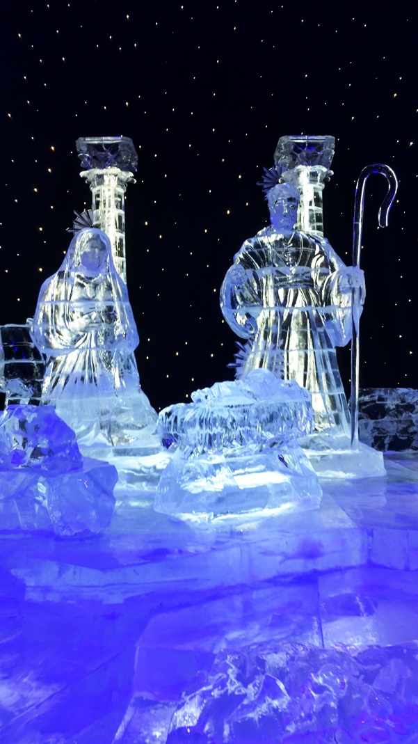
Here are some photos sent in from ‘SS’ from the ice display in Opryland – thanks…
[columns] [span6]
[/span6][span6]
[/span6][/columns]
It is snowing pretty good here.
The lake effect band just moved onshore a bit ago, and wow, are getting some huge dendrites! Beautiful snowfall. Time for me to go for a snow-walk. Merry Christmas, all! Thank you, Michael, for sharing your faith on here. Many blessings to everybody!
It should be by me shortly. Roads are really slick & snow covered here. The new snow looks beautiful tonight. Merry Christmas!
We have picked up 4 inches of fresh snow since this all started. That band dropped 2 inches of snow here in an hour! Now we’re getting into the Lake effect snow shower regime.
Everything looked beautiful on my walk. Thanks for the response and greetings, Sandy!
For your viewing pleasure.
http://www.pivotalweather.com/model.php?m=gfs&p=snku_acc&rh=2017122418&fh=240&r=conus&dpdt=
About a 1/2″ here. Very fine, tiny flakes. Hoping the ground is covered by morning.
Merry Christmas, everyone.
Up to 2 inches of snow ALREADY AND WAIT TILL THE LAKE EFFECT AND WIND KICKS IN! It is going to be a WINTRY Christmas scene!
As for Christmas day one has to wonder if we do indeed get wind gust of 35 MPH that if there could not be white out conditions?
Slim
Just took a snow fall measurement and drum roll please. As of 4:40 at my house the snow fall is now up to just under half a inch. So yes the ground will be white here in Grand Rapids for this Christmas.
Slim
Is there still anyone in the blog world who actually thinks GR will not have a white Christmas??????
MERRY CHRISTMAS!! Have fun skiing!!
Thank you and we are headed North after Christmas to a winter wonderland!
We must be under some good banding in the Muskegon area, because it has been showing moderately to at times heavily since about 10:30. Working on an inch.
Wishing you all a very Merry Christmas filled with love, joy and peace!!
Well just started getting magnifying glass snow, that is snow with flacks so small one needs a almost needs a magnifying glass to see them. Temperature is at 22° with that very light snow falling.so what fall will stay.
Slim
I love the looks of this! 5 to 8 inches of liquid equivalent = 5 to 8 feet of SNOW! The storm track could be setting up right over MI! Bring it!
http://wxcaster4.com/cfs/NORTH-AMERICA_CFS-NODE1_SFC_45DAY-ACCUM-PRECIP_180HR.gif
LOL
Wow!;
Looking ahead the forecasted Highs at Grand Rapids for Tuesday and Wednesday is 10° for Tuesday and 12° for Wednesday. Well the record coldest maximum for Tuesday is 10° and for Wednesday its 12° both set in 1993.
Slim
Climatology for today December 24th At Grand Rapids, MI
The average H/L is 33/21
The record high is 59° set in 2015 the coldest maximum is 7° in 1983
The record low is -9° in 1944 the warmest minimum is 50 in 1982
The largest snow fall is 7.5” is 1993
The most on the ground is 19” in 1951
Last year the H/L was 37/33 a reported 0.2” of snow fell and there was a reported 7” on the ground.
Slim
Still waiting for the expected snow to start. I went to the south side of town yesterday and boy there is quite a difference in the snow on the ground from here on the NW side to the SW side. Here the ground is mostly covered (with very noticeable bare sports) but on the south side of town the ground is mostly bare with some covered spots. The official low at GRR was 18° here at my house I got down to 17° it is now 20° and still no snow falling.
Slim
Yeah, I’ll believe it when I see it. They’re calling for 1-3 here, so we’ll probably get 1.
We welcome our White Christmas to West Michigan … INDYDOG!!
We sure do- snow, snow and more SNOW!!!!!!!!!!!!!!!!!!!
Check out this little Christmas gift!
http://wxcaster.com/gis-gfs-snow-overlays2.php?STATIONID=GRR
Here is my exact prediction from 14 days ago concerning the our weather for Christmas Eve/Christmas!
And just think the vast majority were questioning us having a white Christmas! Those in the know listen to Rocky about SNOW!
“ROCKY (Rockford)
I see a clipper with about 2 to 4 inches of SNOW for Christmas eve! Bring it on!
REPLY14 days 16 hours ago”