November 17
1989: Grand Rapids picks up seven inches of snow, bringing accumulations during a three day storm to over a foot.
2013: A squall line of severe thunderstorms moved through Lower Michigan during the afternoon bringing widespread wind damage. Hundreds of trees were knocked down and thousands lost power from downbursts and brief tonadoes along the line of storms.
November 18
1958: Record high temperatures are set all across Lower Michigan as a southerly flow of air pushes afternoon high temperatures to around 70 degrees. At Muskegon, the temperature hits a record 71 degrees for the second day in a row.
2014: Arctic air prevails with high temperatures in the teens and heavy lake effect snow. Nearly 10 inches of snow falls at Grand Rapids, contributing to a record November total of 31 inches.
November 19
1930: Record late season warmth was across Lower Michigan with highs of 74 degrees at Grand Rapids and Lansing.
November 20
1869: More than a foot of snow fell at Lansing, setting a record for the most ever recorded during the month of November.
2000: An intense lake effect snow squall dropped almost a foot of snow on Grand Rapids, setting a record for the most snow in a November day there.
November 21
1880: Bitterly cold conditions prevail across Lower Michigan. It’s the coldest November day on record at Lansing with a high of only 12 degrees. The low of four below zero is the earliest subzero temperature on record there.
1913: Record warmth prevails across Lower Michigan with high temperatures in the upper 60s and lower 70s. The 70 degree reading at Grand Rapids is a late season record.
November 22
1866: Seven inches of snow piles up in Lansing as temperatures plunge to the single digits.
1963: President John Kennedy is assassinated in Dallas, Texas. The weather in Lower Michigan is unusually warm with morning lows around 50 degrees and afternoon highs in the 60s. The month ends up being one of the warmest Novembers on record.
November 23
1931: A record late warm spell peaks on this date with a high of 70 degrees at Grand Rapids setting a record for the warmest temperature so late in the season. It is the warmest November on record at Grand Rapids and Muskegon.
Once again you can see the variability of weather in Michigan through the ages – warm summer-like days with temps in the 70s or cold air dumping copious amounts of snow sometimes both on the same day. I remember a day in the 1970s driving to work in the morning with temps in the 60s by midday a strong cold front moved through bringing heavy snow. One of my friends rode his motorcycle in which he regretted by quitting time….
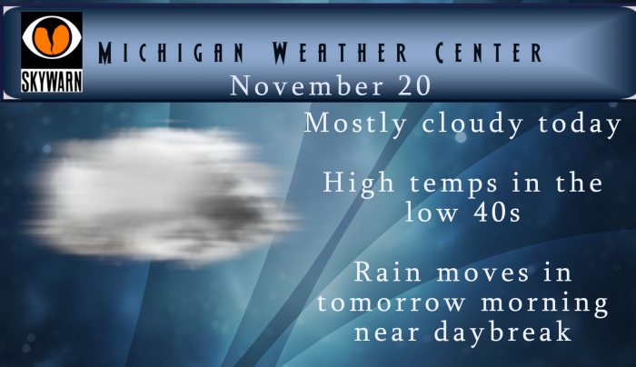
No snow for our area as our temps will be in the 40s today under cloudy skies once again. Tomorrow we will see temps slightly above normal with rain and wind. Gaylord will be in the low 40s while Grand Rapids to the south will see temps in the low 50s. Rainfall amounts will be highest north and west of Grand Rapids. You can check out rainfall totals and predicted winds in the point forecasts for your area on the Michigan Weather Forecast Page.

When I find a winter guess I toss them on here and here is one that I picked up today. I am not sure what his track record is but anyway here is Bill Deedler’s long range guess. I think I will toss this up again on Saturday. There is a lot of information here but the bottom line is will a toss up
https://weatherhistorian.blogspot.com/?m=1
Slim
Not sure what disappeared faster, the brief snow we had or Indy. Been pretty quiet on the blog without his 14 posts a day saying the same thing.
We have now fallen behind last winter in snow total to date for the year so far.
Here is Brett Anderson’s long range guess until mid-December “Latest long-range signals pointing toward a negative NAO pattern dominating for the last week of November before potentially trending toward a strong positive phase as we get into December. What could this mean? It would mean a lack of blocking for the first half of December with stronger westerlies and faster-moving fronts and storms. Coldest air circulates through northern/central Canada with some intrusions into the southern part of the country. Milder pattern for the central/southern and eastern United States. Keep in mind, there is still enough disagreement with the longer-range models… Read more »
Well since September, October, and now November have been almost a carbon copy of last year, I say let’s keep it going right through December. It was so much fun adding the tenths of an inch of snow over the course of the entire month.
Another typical cloudy November day here in west Michigan. With the cloudy skies the temperature here at my house is now at 39. Yesterdays official H/L of 41/37 was one of the rare days that end up have a 0° departure and was only the 2nd this month that was not below average. So far this months mean at Grand Rapids is 32.8° and that is a departure of -9.5° With no snow fall yesterday the monthly total remains at 6.5” and it is 6.8” for the season. With 42 days to go Grand Rapids total precipitation of 45.64” is… Read more »
I like the mention of your buddy riding a motorcycle in the snow. Speaking of that, I saw a motorcycle cop yesterday. LPD usually has them put away by now.