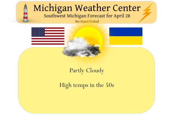
Yesterday we managed to creep up to 47° after a morning low of 29°. Today we will add another 10° or so to our temperatures with the promise of more sun. We should remain mainly dry for today unless you live in the SW corner of the state where there are currently some light showers passing through. Chances of rain will increase as we move into the weekend, but hey, we will see temps closer to normal in the 60s as we close out the month of April and enter the month of May.
Our area will be east of an amplifying upper-level ridge (part of
a developing omega block) the next couple days, and surface high
pressure centered north-northeast will provide us with east-
southeast winds through Saturday. Very dry air around 850 mb will
mix down to the surface today and Friday, increasing fire weather
concerns through Saturday (described more in the fire weather
section below). As this has been one of the cloudiest Aprils on
record, some welcome sunshine will be seen mainly northeast of
Holland and Kalamazoo today, while mid-level moisture, clouds,
and virga hangs around over southwestern parts of the state. There
will be a tendency for increasing mid-level cloud coverage toward
the northeast as the day goes on.

Rain chances can`t be ruled out for the daytime portion of
Saturday as moisture increases ahead of an occluding low over
Iowa/Minnesota, but most of the rain is likely to be focused
during Saturday night. Enough instability aloft may be in place
for convection, yielding a chance of lightning and heavier
rainfall rates.

Ensembles seem to be settling into the idea of the blocked pattern
breaking down early next week and waves becoming more progressive.
Rain chances for Tuesday are increasing as the next shortwave
trough and low-pressure system moves through.
What happened to the so called 70’s and then a blow torch? What a joke!
The cool pattern continues and we are really locked into the below normal temp pattern! No change in sight! incredible!
While many were stuck under the clouds today it was sunny ALL DAY at my house. Incredible day. Wish it could have been warmer but Mid 50s is a step in the right direction.
Lots of sun here too. Nice spring day.
A Nother below Spring day cant wait to see how cold we end up this month when we are a +1 its a blow torch month so should be interesting seeing how cold April ends up we will call is a frzzer box of a month lol…
INdY
+100 million!
The long range CPC guess continues to show below average temperatures for at least the first two weeks on May if not more.
Slim
Who knew?
Current conditions in GR = mostly cloudy and 50 degrees! It was supposed to be 60 and sunny?
Wrong! Such a perfect day out!
Cold cloudy and windy!
Far from a perfect day! What a joke of a comment!
Get ready for another cold night! More near freezing temps and it is almost May! Then more below normal temps most of May! Wow, just wow!
The weather looks absolutely perfect the next couple days! Lots of sun, perfect golf weather, things are really starting to bloom, and we have 5 months of glorious summer weather ahead!
I finally have time and dry enough soil to get out and till the garden/cover it with black tarp to warm it up a bit, although I’m guessing we probably won’t plant this year until at least the 4th of July :< (
I would say it may be safe to plant the beginning on June!
Yesterdays official high at Grand Rapids reached 47. It took until 6PM to reach that high. The overnight low both here at my house and at GRR was 29 at this time it is clear here with clouds to my SW with a lot of frost.
Slim