Yesterday we had a high of 78° and the low was 60°. We only managed .07 of an inch of rain from the hit-and-miss showers around the area. Our total for the month stands at 3.14 inches and 5.76 inches for met summer in Otsego. Sunrise today was 6:19 and sunset will be 9:20 pm one minute and 22 seconds less sun than yesterday – we have lost around 14 minutes of daylight so far this month.
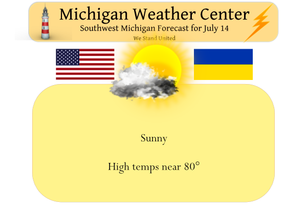
We will see more sun than clouds today with temps around 80°. Currently, the days that look wettest are late Friday into early Saturday. then again during the day on Sunday. On the other days, the showers will mostly be in the afternoon and evening and be widely scattered. It will be warm through the period with highs in the 80s each day and overnight lows in the 60s.
Forecast Discussion
-- Dry through early Friday --

Surface high pressure situated over the Great Lakes will maintain
largely settled weather into tomorrow.  Skies will be mostly sunny
today, but a cumulus field should develop inland today as
boundary-layer heating commences, given lingering low-level
moisture and convective temps in the mid/upper 70s. Cannot rule-
out an isolated shower/sprinkle over far southern areas this
afternoon, where somewhat deeper boundary-layer moisture may
support more vigorous cumulus, particularly along/ahead of a lake-
breeze boundary that is is expected to develop this afternoon,
per latest CAM guidance.

-- Rain chances Fri afternoon into Sun --

Global ensemble guidance (EPS and GEFS) has come into better
agreement in depicting a shortwave impulse diving southeastward into
the region on Fri evening along the periphery of the western
CONUS mid/upper-level anticyclone. Some deterministic CAMs (and
HREF members) suggest that rain may arrive into SW counties by
late Fri afternoon, and this signal is supported by recent trends
in the EPS. However, the 00z HRRR remains decidedly dry for the
forecast area through 00z Sat. With this update, chance PoPs on
Fri afternoon/evening will be maintained across the western
forecast area.

Richer low-level moisture is expected to arrive on Fri
evening/night. By Sat afternoon, mid 60s F dewpoints should be
commonplace over the forecast area. Chance PoPs on Sat
afternoon/evening is warranted, given the expected approach of
another weak shortwave impulse.

During the Sat night-Sun night period, another midlevel shortwave
impulse is expected to traverse the region. At the surface, a
weak/diffuse surface low may emerge near IA/IL on Sat night, then
slowly meander eastward, reaching the vicinity of northern OH by
Mon morning. PW across southern Lower MI is expected to climb
above 1.5 inches--likely exceeding the 75th percentile of the
climo distribution. Forecast profiles across the southern
forecast area on Sun exhibit tall/"skinny" CAPE profiles and a
fairly deep (10-14 kft) warm cloud layer. These environmental
considerations, along with the potential long duration of rain in
some areas, suggest that heavy rainfall may be possible across
portions of southern Lower Michigan on Sun. This possibility will
need to be assessed in later updates, especially as CAM solutions
begin to depict this event.

-- Mon and beyond --

EPS and GEFS ensemble means suggest that a shortwave trough may
flatten the mid/upper ridge along the U.S./Canada border on Mon. A
robust surface cyclone accompanying this shortwave should provide
broad warm advection for the Great Lakes region and warmer temps on
Mon and Tue. EPS/GEFS members suggest that a fairly deep surface low
may be situated over the northern Great Lakes on Wed, with cold-
frontal passage through Lower Michigan possible during the Tue night-
Wed timeframe. However, ensemble means still exhibit considerable
run-to-run adjustments with this system.
I love it! No 90’s in sight! Wow!
Temps in the mid 70’s for the hottest part of the year incredible… So far Summer 2022 has been a smore over a hot fire no melting point at all….INDY..
You know it! So far a great summer with cooler temps rocking!
The normal to below normal temps have been great! Wow, just wow!
So far this summer has been a rather typical summer here in southern lower Michigan. So far that has not been the case to the north where July has been cooler than average at just about all locations. The high at the Sault so far this month has been just 80 and that was for just one day. At Houghton Lake the high for July so far has been 83 and the high at Alpena so far has been 85. Of course here in the south there have been some very warm days with highs of 90 or better at… Read more »
Side note- it looks like Austin, TX has been dealing with one of their warmest summers ever. There is quite the heat dome to our south and west… we should be really thankful for our highs in the low-mid 80s. That could change soon enough
My cousin lives on Lake Travis near Austin. I would visit her when I was stationed at Fort Sill. Anyway, we talked the other night and she mentioned how hot it’s been. Keep in mind, the average high for today is 96. It’s been 100+ there every day since the 6th, and it’s supposed to be 100+ for at least the next week.
I’m hearing rumblings of people moving to Michigan to escape the heat/drought/wildfires/pollution. Last month, this phenomenon made the front page of a local Michigan magazine (can’t remember which). And with such a beautiful Michigan summer, the millions of out of state tourists visiting our state must be thinking the same thing.
“Sunny & Pleasant Today”
Seems to be a recurring theme for the past month or so.
For some time now most of Michigan has been running near average temperature wise. It has been dry in many areas however. I will post the departures for July tomorrow for July so far. Hint for July Grand Rapids is NOT the coolest compared to average in the the entire state of Michigan. For July Muskegon is the warmest comparted to average.
Slim
What a summer! Best I can ever recall!
It’s been a warm May, a warm June, and now can we go 3 for 3 with a warm July? It does look like the heat builds yet again next week and stays a while.
It looks like another perfect below normal temp day in West MI! Incredible!
We are now nearing the halfway point of July 2022 and so far this has been a very typical July. The mean at Grand Rapids is 71.9 that is a departure from average of -0.8 officially there has been 1.07” of rain fall that is down from the average that should be 1.59” The high for the month so far is 90 set on the 4th and the low so far is 52 set on the 10th. At Holland their departure for the month is +0.5 At Lansing the departure is +0.4 and Muskegon their departure is at +1.7.
Slim
The official H/L yesterday at Grand Rapids was 82/62 there was a trace of reported rain fall and there was a reported 41% of sunshine. So far the overnight low here in MBY was 61 and at this time it is partly cloudy and 63. For today the average H/L remains at 83/63 the record high of 102 was set in 1936 and the record low of 45 was set in 1950.
Slim
Thanks for the facts! It has not been a hot summer so far! How could that be?
Wow, GR is yet again the coldest relative to average. What a joke!
In Southern lower Michigan Saginaw is the coldest to average at the current time. In the state of Michigan Muskegon is the warmest compared to average so far.
Slim
Of the ones you cited above, GR is the coldest relative to average yet again.
Saginaw is colder relative to average. The mean at Saginaw so far this July is 70.2 for a departure of -1.5 at GR the mean is 71.2 for a departure of -0.8. Due east of GR at Flint their mean so far this July is 70.2 for a departure of -0.6.
Slim
I just looked at all the reporting stations on NWS GR’s website. There is one location that has been colder than GR in July. Jackson is -1.3 the month.
Good catch. Usually I just look at the major ones, myself. Not sure how much stock to put into the others.