As I have said before the older I get the faster time seems to march by and now we are at the end of meteorological summer. This summer didn’t disappoint especially for warm weather enthusiasts and August will close out the season of mostly warmer than normal temps, this month being warmer than July. The thing that will stand historically in my mind will the hot and humid weather we had this month.
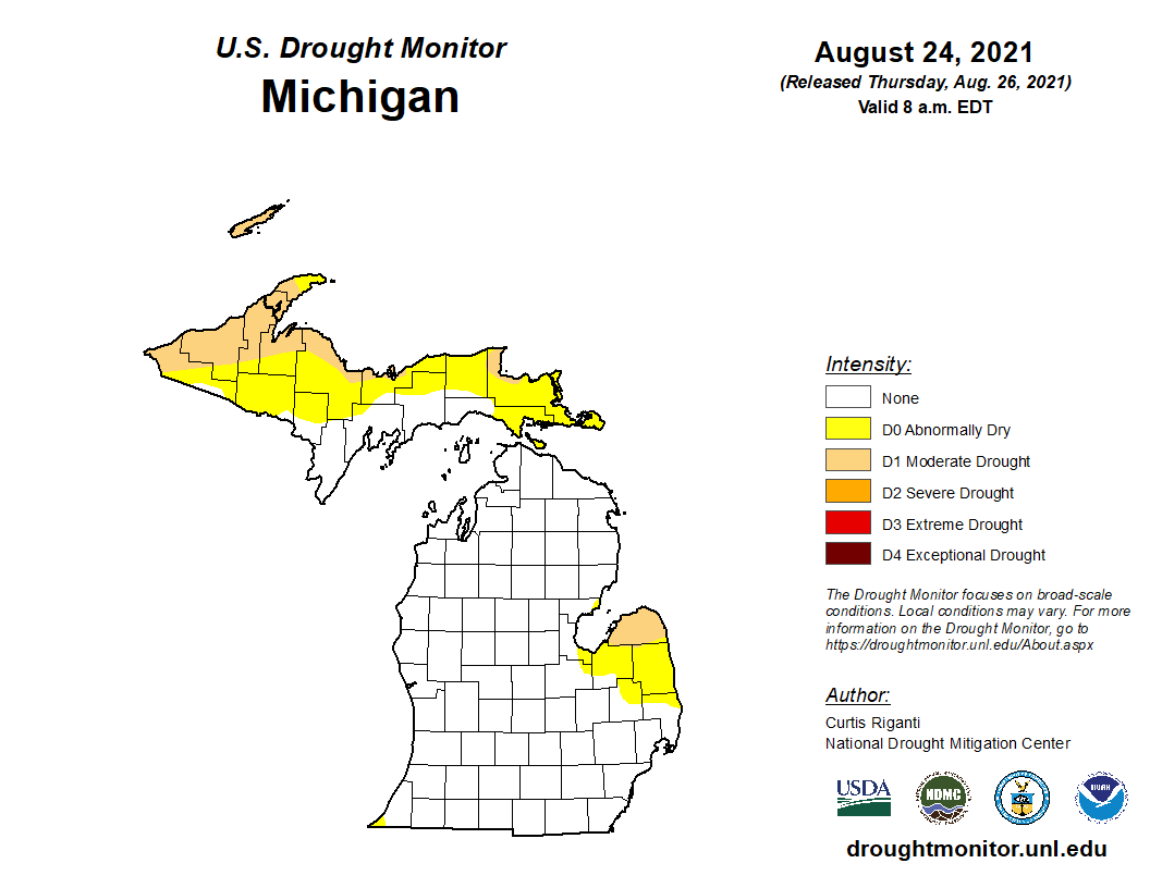
Our total rainfall for the month is 3.79 inches and 16.58 inches for the season. Strange as it seems we had exactly the same rainfall for July as we did August (3.79 inches), our wettest month was June with 9 inches. (Otsego) We had a lot of sunny dry days this summer which brought us drought conditions which have been brought back to normal by more frequent rains (with the exception of the U.P. and the thumb.)
According to the CPC, for met fall we have a guess of a 40% warmer than normal temps and equal chances of below/normal/above normal rainfall.
Forecast Discussion:
- Stretch of Dry Weather With Seasonal Temps Continues -

Uneventful and quiet weather is expected to continue for a few
more days. Near seasonal temperatures will persist through the
next few days as a ridge strengthens to our west. This will
support cooler temperatures compared to last week, along with dry
conditions. High temperatures through the next several days should
stay in the 70s with overnight lows in the 50s. By the end of the
week temperatures may warm slightly as the thermal ridge pushes
east, however ensemble guidance still suggests temps staying
limited to the low to mid 80s.

- Risk for Showers Friday night through Saturday -

Near the end of the week a shortwave trough will flatten the
upper ridge while a weak cold front approaches from the west. A
few disturbances in the nearly zonal flow will result in a few
chances for precipitation through the holiday weekend, but
confidence is still quite low. Otherwise expect more near seasonal
temperatures for the weekend.
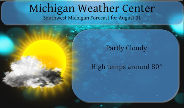
Can you say great weather for this week? Plenty of sun and near to below normal temps! What a summer, no heat waves and plenty of great conditions! Who knew?
This week the weather is awesome!!! 100% better than last week. I think we have had plenty of heat and humidity. I personally am glad it left. 🙂
This morning actually felt refreshing. Heavy dew on the grass. The dog didn’t know what to think of the coolness I could tell. It feels like Fall is just around the corner. 🙂
Wow top 10 warmest August ever for GR (warmest ever for Lansing)? And another warm meteorological summer overall? Don’t tell it to a few on this blog. I love it!
I can vouch for warmest ever. Most highs for the month we’re 88+. This morning was the first morning in more than two weeks it wasn’t in the 60s or 70s.
Summer 2021 will end up above average. The current mean with just one more day to go is 72.5 the new 30 year average is 70..9 and the 15 year average is 71.4. This will be the warmest summer since 2018 (72.6) and the first simmer since 2016 that all 3 summer months had a mean of 70 or better. 2016 had a mean for the summer of 72.7.
Slim
With just one more day to go it is now safe to say that August 2021 will be the 9 warmest August of record at Grand Rapids and Holland. It will be the 4 warmest at Muskegon and over at Lansing it looks to be the warmest on record. This was all done with few extremely hot days this August only had 5 days of 90 or better there have been 24 other years when August had more. Grand Rapids is way down the list even at the 89, 88, 87 list even at 85 there have been 15 years… Read more »