
This is a closeup of a Katydid I took yesterday with my iPhone. If you look closely you can see a bubble of water coming out of its mouth. It’s amazing the quality of photos you can get nowadays with modern cellphones. Insects in the family Tettigoniidae are commonly called katydids, or bush crickets. They have previously been known as “long-horned grasshoppers”. More than 8,000 species are known.
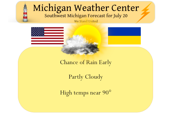
We received .03 of an inch of rain overnight from a stray shower which gives us .10 for the week and 3.40 inches for the month. Yesterday’s high was 88° and the low 69°. Expect sunshine and warm temperatures today. Winds won’t be as strong as yesterday, but some gusts near 30 mph are still possible. A late-day shower or storm is possible near and south of Interstate 96. Showers and thunderstorms are likely over the weekend, with the best chance being Saturday night into early Sunday.
Forecast Discussion
...Gusty winds this afternoon with a chance of showers Tonight...

The large upper level low moving through Upper Great Lakes region
will continue to move eastward. Any lingering precipitation will
end early this morning. That large upper level low will
retrograde northeastward and settle over the Hudson Bay as the low
absorbs approaching low moving across Canada. The zonal flow
today with daytime highs in the mid to upper 80s will allow for
gusty winds to mix down this afternoon. However due to the lack of
a potent low level jet the wind gusts should only reach around 20
to 25 mph. The NAM continues to show a short wave trough through
the mid levels move through southern Michigan this evening.
Currently this feature is causing some convection through Southern
Minnesota. The 500 MB pattern has a long wave trough over this
region with some Q vector convergence at 850mb. This will allow
the current feature, aided by a low level jet at 700 mb, to have
enough dynamics for showers and thunderstorms. The convection will
not materialize until after sunset which will decrease intensity.
However,as quick as that feature moves it, it disappears. So
expect any precipitation that forms along the I-94 corridor to
move south by 09Z Friday.

...Better chance for widespread showers late Saturday into Sunday...


The aforementioned upper level low will dominate the weather
pattern through the weekend. As this quasi stationary low spins
over the Hudson Bay it will bring through several troughs through
a zonal pattern. The strongest of which will be Saturday night
into Sunday. The EC/GFS and now NAM have all been consistent on
timing and placement of this system. That lends confidence in the
forecast. So a stronger upper level jet in zonal flow should push
eastward through the Upper Plains Saturday evening into Sunday
morning. This will also coincide with a low level jet creeping
into the WI/Northern IL region. That LLJ will advect copious
amounts of moisture. That is seen in the GEFS M climate anomalies
with +1 to +2 sigma values of 1.5 PWATS across the lower peninsula
advecting in abundant moisture. Given the favorable instability,
it appears an MCS should form. So there is good potential for
several rounds of showers/storms through the night. There remains
some questions of timing and placement yet overall the trends
remain consistent.


...Another round of storms possible Wednesday...

After a reprieve early next week, another cold front could move
through the region on Wednesday. The atmosphere is shown to moist
and unstable ahead of this feature with a deep southwest flow out
ahead of the front stretching down into the Gulf. The GFS and EC
have different timing and placement of the upper level wave so
while there is potential there are questions for that system.
Seeing reports of some wind damage in the Belmont/Rockford area. There is a path of power outages form Coopersville to near Rockford.
Looks like Ada has a million to one chance, at another two millimeters of rainfall…if it makes it here. In other words, sprinklers on.
Interesting to see if this will be the hottest week of the Summer as we may see highs only in the low 80’s next going into August sofar no big heat waves this Summer…PARTY…INDY
The Michigan drought area expands. At least it didn’t get worse in my area (eastern Montcalm co), even though it feels worse (ground is bone dry). https://droughtmonitor.unl.edu/CurrentMap/StateDroughtMonitor.aspx?MI
As I said below Michigan is at 104 reports of severe weather for the year. Here where surrounding states stand:
Ohio: 545
Indiana: 303
Illinois: 402
Wisconsin: 254
Minnesota: 929 – WOW! The only other state with more than Minnesota is Texas at 1089
They can have the severe weather over there. In the summer give sun and temps in the 70’s
Michigan so far is at only 104 reports of severe weather so far this year. The primary reports have been wind damage. Counties that have not had 1 single severe weather report within the county are Allegan, Barry, Calhoun, Kent, Montcalm and Ottawa County. Kent, Muskegon, and Ottawa County are the only counties in our area that have not been under a Severe Thunderstorm Warning as well. This is by far the quietist severe weather season since 2009. That year we received a total of 187 reports for the year.
FYI I realize I post way more in the fall/winter/spring on here than during the summer, but I still read the comments every day.
Also did anyone see that tornado warning over Lake Huron yesterday? It was about 120 miles long (according to my measurement on RadarScope). Definitely one of the bigger tornado warnings that I have seen!
89, 90, 89 the past 3 days in GR. Looks like July goes back to above average temps after today.
Yesterday was a windy but very warm day. The highest wind gust was 43 MPH. What made the day unusual is that while it was windy it also was very warm. The H/L for the day was 89/70. At Lansing it was also not only very windy but there it was a hot day with a H/L of 92/73 and a top wind gust of 46 MPH. With the winds coming off the lake it was still warm but a little cooler at Muskegon (86) and Holland (85) At Grand Rapids there was a reported 0.05” of rain fall and… Read more »