We had another .32 of an inch of rain overnight bringing our total to 5.61 inches for October and 7.77 inches for the fall season. We have a current temp of 50° at 5:30 this morning. Yesterday’s high temp was 60° with a low of 49° which is above normal for this time of year.
Looking forward to tomorrow’s game in Lansing, most of the rain should have moved out by noon though there may be some drizzle, it will be cool, perfect football weather – temps should be around 50°.
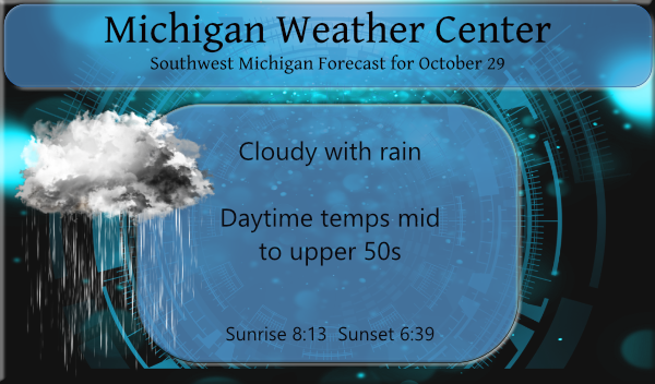
For Halloween, temps should still rise to the mid-50s with overnight lows in the mid to upper 30s.
Forecast Discussion
- Occasional rain today diminishing tonight into Saturday

Bands of rain...mainly light...will continue to push in from the
south as the storm system slowly tracks up the OH Valley.  The 700 mb
low is shown to be centered just east of Detroit 12z Saturday...so
we would still see some lingering rain for the first part of the day.
The best lift comes through today as mid level fgen persists...but
tonight into early Saturday a steady decrease in the lift is noted.
As a result we will feature decreasing POPs then.  Most models are
still showing a half inch of rain or less for the CWA...but the
NAM and NAMNEST are showing a little more. Either way...we are
not expecting impacts from these rainfall amounts.

- A few sprinkles possible Sunday

Models are showing a decent mid level vort max pushing through
Sunday as the cold front moves in.  Overall though the moisture will
be limited with this front.  Forecast soundings keep the moisture
depth limited.  Thus at this time it appears that a few sprinkles
may occur Sunday.  We will add this to the forecast.

- Colder next week with some showers possible

A cold airmass will overspread the region early next week as
northwest flow persists.  Several mid level waves are shown to arrive
as well.  Each one of these could lead to some showers.  The
atmosphere does become cold enough for the lakes to add moisture to
the atmosphere as well.  While surface and low level temperatures
are shown to be above freezing...any decent burst in the
precipitation could lead to some snow.  At this time it does not
look like it will be cold enough for impacts but we will need to
monitor this closely.
Let it rain let it let it rain good news all this rain will be snow soon Winter fun is near…InDY
Wow, yesterday was +8.1 degrees above average. One of the warmest Octobers ever.
Here at my house I recorded 0.23″ of rain fall. The overnight low here was 50 and it is still 50 at this time with light rain falling. This has been a very warm and wet October and it will be a top ten warmest at all locations. At this time it is the warmest at Muskegon with a mean of 59.1. also the warmest at Lansing with a mean of 58.6 At Holland it is the 2nd warmest October with a mean of 59.1 the record is a reported 61.1 in 1947. At Grand Rapids it is down the… Read more »
Major solar flares yesterday. 2 M class flares and a major X class flare, all heading straight this way. Pretty much guaranteed Northern Lights this weekend when it hits.
https://spaceweather.com/
Saturday night could be clear, Sunday night there could still be some clearing.
Slim
I was just going to ask if we were going to be cloudy all weekend???
Yep, looking real good for Aurora viewing on Saturday night!
https://www.swpc.noaa.gov/products/3-day-forecast