We currently have a temp of 33° this morning at 7 am down from 35° at 3:30, which may be our high for today. Any snow we had from last night’s system has melted off. We are approaching the time of year when we transition to spring and perhaps a more turbulent weather pattern where the forces of winter and spring set up their battlegrounds. This winter has been fairly quiet without any ‘major’ storms or heavy lake effect snow though we have seen more lake effect than we did last year in SW Michigan. We still have time for more snow and storms, my wife and I were married the first week of March during heavy lake effect snows. We haven’t had more than six inches of snow during any one storm this season in Otsego.
We can expect temps in the mid-30s to near 40 most of the week and with the help of breezy conditions, this will help melt off the light fluffy snow we have seen over the past couple of weeks.
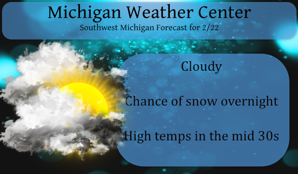
Forecast Discussion:
- Snow winding down early this morning

Around 12z Monday the mid level wave responsible for the overnight
snowfall...will be pushing east of Lansing. Subsidence will
strengthen across the CWA leading to a diminishing trend to any
remaining precipitation on the backside of this system. The
surface temperatures have risen into the upper 20s north to mid
30s south. Thus the main area for impacts will be mainly along and
north of a line from Muskegon to Grand Rapids to Lansing. Thus the
current plan is to keep the advisory going which runs through 9
am.

- Brief period of snow tonight

A fast moving mid level wave dives in from the northwest tonight.
With the moisture deepening up through the DGZ and some lift noted
in that layer...a period of steady precipitation is looking likely
to occur. This will be mainly a snow event. The most favorable
lift...steepest mid level lapse rates and deepest moisture is
shown to be along and north of a line from Muskegon to Grand
Rapids where approximately 1 to 3 inches is possible. Localized
impacts look likely.

- Not as cold into Wednesday

A wave of low pressure will be riding along the low level thermal
gradient from the Upper Plains to the Great Lakes Region Tuesday
into early Wednesday. Southwesterly winds will strengthen here in
Lower MI during this time resulting in warm air advection. This
will lead to moderating surface temperatures...which are
forecasted to rise to above normal levels. It is looking like many
locations will top out in the upper 30s to near 40 degrees both
Tuesday and Wednesday. Cold air advection strengthens by Wednesday
afternoon. A cold airmass will then drop down into Lower MI later
Wednesday into Thursday.
How ironic that the warm weather nuts keep telling me it was not a good winter for outdoor sports! Facts they are sitting on their duff complaining about the cold and snow and I have been skiing for weeks on end! It was another spectacular day out on the ski trail today! I am not sure I have skied this much in 5 years! Absolutely great winter! Incredible!
36 days left on snow snow plow contracts!!!
Yes and we still have 26 more days of winter left! If the warm weather nuts think the cold and snow is done for the season they are totally delusional!
Busiest the blog has been since the start of February must of got to 30* degrees today!! Who knew?? Lol A 4 season Blogger INDY ….
You could really hear it in Bill’s voice, on his forecast tonight, how down and depressed he was about the warming temps and the realization that we’re heading into spring very quickly! Poor guy, he lives for winter and he barely had one this season!
Poor bill rocky and Indy!!! Think spring
I saw that too. Bill’s least favorite time of the year is right now. Bring on spring!
Woooh look at all that warmth upcoming!
What a beautiful sight!!! Front Loaded Spring!!
You’re right MV, this has been another very quiet Winter with no major storms, no blizzards, and once again not much lake effect. It has been several years since the last time the lake effect really amounted to much of anything. Seems rather odd having seen many dumps from the lake over the years, but that’s just the pattern we’ve been in lately. Looks like our 3 week little Winter melts away this week.
Yep, don’t mind 3 week winters at all!! Now, get prepared for a Front Loaded Spring!!
Let’s see what should I do this afternoon? Downhill ski, cross country ski, snowmobile, ice skate, ice fish and luge! Simply a fantastic winter! I absolutely love it!
Work???
We got pounded with snow last night! It was a beautiful sight! Keep it coming! More snow tonight!
I have to admit this has been one of the best winters in years for getting outside and doing Wintery fun close to home seems like since Christmas day I have been playing hard I’m tired now shuuu back loaded Winters are the best I’m finally getting ready for a little Spring fun now bring it on 4 season lover right here other then the heat lol…INDY
Outside of the last 2 weeks, we’ve had extremely little snow and snowpack. I love short winters too!
Exactly INDY! Great winter for outdoor sports! Absolutely incredible!
Let the MELT begin! What happened to the polar vortex some on here were saying was returning a week ago? CPC shows nothing but warm temps for the next month and beyond.
On a side note I have a kind of flat roof over a porch and this morning there is water dripping inside of the porch. I know that there must be a water back up there some where so it looks like I will have to get that looked at soon.
Slim
Boy do I love this title of the blog today!!! The temps are already melting the half inch of snow we got last night and we’re looking at multiple days with highs in the 40’s!! Front loaded SPRING is on its way!! Soon we’ll be able to get out and enjoy the fresh WARM air!! Ten day forecast looking outstanding!!!
https://weather.com/weather/tenday/l/b4ea0280869baa46799dc75eacef8904785ec43ad2f6fb098355fbc208a55e2c
A little over a inch of wet sloppy snow fall here. The current temperature here is 33. We took a trip up to Bay City yesterday and while there is a solid snow pack across the state of Michigan and it looks like there is about 12″ of snow on the ground until we got east of Midland when the snow depth fell and it looks like around 5 or 6″ or so in the Bay City area. There is a lot of ice on the Saginaw river and there are people snowmobiling and ice fishing on the river.
Slim