If you like the heat and humidity this is the place to be. For myself I enjoy temps in the 70s in the summer, but, hey, I am only one person. It has been dry for the past week so it is becoming a bit dry and the chances of rain are becoming meager at best. At this time the best chances will be from I94 to the south for today even there the chances are only 20%. We have a 10% chance in Otsego and pretty much 0% to the north.
According to the CPC, these drier than normal conditions may last to the end of the month though air temps will be more tolerable as we get later into next week.
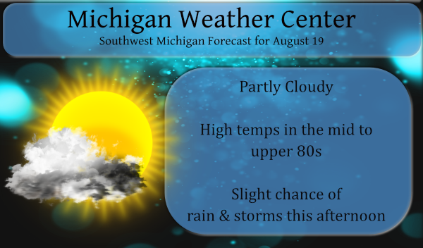
Forecast Discussion
- Warm into the middle of next week

We are in an upper air pattern that seems to want to Consolidate
the cold air north of 55N over the entire Northern Hemisphere by
early next week. The primary jet core is for the most part north
of 50N over both the Pacific and Atlantic Oceans. This leads to an
expansion of subtropical upper level high over the CONUS. That in
turn would lead to warm to possibly hot weather here at least
into the middle of next week.

Fog has already developed this morning but it shallow. Some dense
fog is expected in low lying areas. Fog is expected Friday
morning and Saturday morning too as winds will be light and cloud
cover will be limited until Saturday night when the next frontal
system will move into the area.


- No widespread heavy rain events into next week

With the departing upper level trough today, we should have enough
instability and marginally enough moisture for isolated mid to
late afternoon convection in the I-69 area today. The developing
mid level upper ridge moving into western sections of the CWA by
mid afternoon should make it to dry aloft for convection to get
going there today.

Currently though we do have a significant upper level trough over
the western CONUS and upstream Pacific shortwave energy that will
shear that feature out by Friday. While that is happening yet
another Pacific shortwave dives in to replace it over the western
CONUS. However yet another system over the Gulf of Alaska forces
that next system to also shear out. This would bring two cold
fronts through our area. The first would be Saturday night then
the next one would be Monday. Since the polar jet is well north of
us in Canada Saturday into Wednesday, both fronts will have little
impact on our temperatures. The front on Saturday may being some
showers and thunderstorms late in the day into early Sunday but
with the jet energy so far north one has to wonder if most of the
convection would be north of our area. The system on Monday is
weaker and more sheared out, so I do not expect much with that
either.

Yet another system may impact us Wednesday but that too will be
weak and sheared out. So, for the most part it will be warm and
somewhat humid into the middle of next week.

- Cooler by the end of next week???

Zonal flow patterns tend to be unstable and break down quickly. I
would expect a more meridional upper wave pattern to develop by
later next week or early in the following week. That should then
bring cooler air to this area. Likely with showers and
thunderstorms. Seems that would be late next week at the earliest.
The CPC updated outlooks for September and the next year are now out.
Here is September 2021
https://www.cpc.ncep.noaa.gov/products/predictions/long_range/lead14/index.php
Here is fall (SON) 2021
https://www.cpc.ncep.noaa.gov/products/predictions/long_range/seasonal.php?lead=1
And with a drum roll the early outlook for the winter of 2021/22
https://www.cpc.ncep.noaa.gov/products/predictions/long_range/seasonal.php?lead=4
Slim
Good and at least winter is not showing above normal temps! Bring on the snow!
I always look forward to the 60s and 70s in fall. The only issue I find each year is how fast the average falls. Right when I start thinking the 60s are comfortable the average falls into the 50s. Average highs in the 60s occur Sept. 24- Oct. 16, so only a few weeks. In fact a lot of years we have upper 30s and 40s on Halloween and I suddenly think the 50s are great. Last year we had 50s in early October. So from October 1st-31st I go from thinking 70 is cool to 50 is warm. Bottom… Read more »
I have to say in looking at the daily weather record for this summer this summer has been a rather nice summer. Yes we have some very humid days but there have not been very many “hot” days. in fact at Grand Rapids there have only been 2 days of 90° or better (both were 90) the average number by this time is 9. There have been 8 days of 89° or better the average number by this date is 11 there have been 11 days of 88° or better the average by this date is 15. There have been… Read more »