We have our first winter storm watches out for parts of western Montana and northern Idaho along with high wind watches and warnings. This one may be for the record books as one of the earliest blizzards to hit that state or for the U.S.. This will be a long term event running from Friday evening through Sunday afternoon. Up to 36 inch of heavy wet snow may fall along the Rocky mountain front and the adjacent plains. These watches extend into southern Alberta Canada.
October is normally the month that the first measurable snowfalls of the winter season fall in the Northern Plains, Rocky Mountains, Cascades of the Pacific Northwest (above about 4000 feet), and the Sierra Nevada of California (above about 6000 feet). On occasion, snow also falls in the Northeast and Appalachians at higher elevations.Though late September snow is not unheard of in western Montana the amount of snow and duration of this event is.
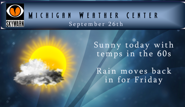
Today will be a nice early fall day with temps in the low 60s north and upper 60s south under mostly sunny skies. It will be a bit breezy with wind gusts in the 20 mph range. Tomorrow will be another story as the rain returns with on and off rain and thunderstorms with perhaps some small hail mixed in. Area football games tomorrow evening may require an umbrella…
We will be in an unsettled pattern over the next week with the cold and warm air doing battle – Monday is predicted to bring 80° with humid conditions then the pattern flips back to the 60s by next Wednesday with chances of showers each day.

I would love to see the rain tomorrow wait till our homecoming game is over.
Currently 53* degrees out at thee YARDofBRICKS NE of GR 40’s should be no probs overnight beautiful cool sleeping weather ..INDY
It has been a beautiful Fall day!! I always like the crispness in the air.
And even bigger news then where we end up with temps this month will be the rain that’s falling over September looks like a lot more coming tomorrow afternoon all this rain will eventually turn to snow and Winter will be rolling ahhhh … What a amazing wet Fall we are having in west Michigan… Currently a beautiful 64* degrees out at thee YARDofBRICKS NE of GR who knew!! INDY
Funny thing with wet and dry periods, they seem to flip almost overnight. This spring was a perfect example. Rain, rain, and more rain for a couple months, then like someone flipped a switch hardly a drop for months. Lots of rain now and in October bodes well because when the switch is flipped, just like last year only fractions of inches of snow for December.
I saw a woolly bear caterpillar that had pretty equal black on its ends. My mom took one that was totally orange…
Questions regarding MI Winter 2020?
One word: Catastrophic
Yesterday’s H/L at Grand Rapids was 74/63 GR is now at 16 days in a row of above average temperatures. For the month the mean at GRR is now at 67.3° and at this time that is good for the 6th warmest September on record. That should go down in the next couple of days and we will see where we are at the end of the month. For today the average H/L is 69/49. The record high for today is 92 set in 2017 and today is the end of that heat wave of September 2017. That 92 is… Read more »
It’s been great sleeping weather with the windows open lately.
Wow what a storm! This could bode well for a rocking good winter! We are set up for tons of snow! 7 out of the last 9 months with below normal temps and many signs for a hard winter! Bring it!
1. Yes, that is some winter storm out west. 2. while it is still unknown just how much snow will or will not fall in west Michigan this winter (could be anywhere between 35 and 116″) but there is a very good chance that we will have tons of snow
http://www.arizonaiceman.com/FAQRetrieve.aspx?ID=37309
and 3. I am not sure we will have a “hard” winter. But then again it will be cold as all winters here are cold.
Slim
This was the story I attempted to link last night.
Historical Storm for this time of year …look for that storm to blow in some cool air in next week for west Michigan ..INDY