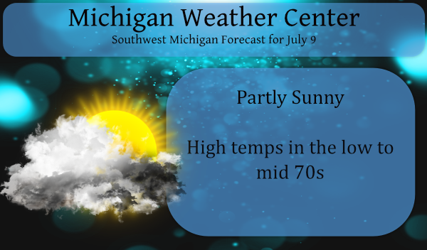
Yesterday we just managed to break 70° with a few peeks of the sun. Overnight low temp was 60° with .03 of an inch of rain. We have a pleasant day in store with partly sunny skies with temps in the low to mid-70s.
With all the rain we have had over the past three weeks southern Michigan has been removed from the National Drought Mitigation Centers for drought conditions.
 Most of the area from I96 to the north is still abnormally dry with small areas in severe to moderate drought conditions. This should continue to improve over the next couple of weeks according to the CPC. There is a 47% chance of above-normal rainfall and a 51% chance of above-normal temps next week. Today and tomorrow should remain dry before rain chances increase on Sunday.
Forecast Discussion
- Trough to move south and take low clouds/drizzle out of area

A trough of low pressure can easily be seen in the surface plot
this morning with northeast winds from I-96 to the north and
westerly winds along I-94. The trough essentially runs from near
Grand Rapids to Jackson at 300am. Lower clouds and occasional drizzle/light
rain are occurring near the trough axis. The trough is forecast to
work south through the area over the course of the next 5 to 6
hours and expect it to be south of our area by about 13z.
Expecting a rapid improvement to sky conditions today with partly
cloudy conditions develop north of I-96 early this morning. South
of I-96 the improvement to partly cloudy conditions should occur
by about noon.

- Dry weather is expected Today through Saturday

Dry weather is expected today through Saturday as high pressure
builds into the area. The GFS has been trying to bring
precipitation into the area on Saturday, but think this is
ambitious. At the earliest precipitation may move into the far
southwest corner of the state late Saturday night. Pleasant
conditions today through Saturday with much lower dew points and
slightly cool to seasonable temperatures.

- Cutoff upper low upstream to bring rain Sunday into Monday

The cutoff upper low that has now been in place in the models for
days over the weekend remains that steady in the latest model
runs. The low should be stationary just upstream of our area over
IA/IL and MO from Sunday into Sunday night. The low begins to move
a bit into Northern Illinois on Monday. An 850mb warm front moves
north through our area from Sunday into Monday. Expecting showers
and thunderstorms both days. We have likely pops in the forecast
both days (60-70 pct).

- Chance for rain again Wednesday night through Thursday night

Scattered showers and storms are certainly possible in southwest
flow Tuesday into Wednesday, but the better chance looks to come
Wednesday night into Thursday night as a trough nudges our
direction from the Northern Plains in zonal flow. Likely pops are
in the forecast during this time frame as well. Temperatures for
next work week look to be fairly typical for this time of year.
Cloudy and kind of cool mid morning here. The overnight low here and officially at GRR was 60. At this time it is cloudy and 65 here at my house.
Slim