With much gratitude, I am happy to announce another sunny yet warmer day today. The freeze warning in place for much of Michigan expires at 9 am. Enjoy today because the clouds will return and a period of unsettled weather will move back in for Friday and the weekend.
427 grr
U.S.A and Global Events for April 27th:
1898: The first Weather Bureau kite was launched in Topeka, Kansas to report daily, early morning, atmospheric observations. By year’s end, 16 additional launch sites would be in operation.
1912: The April 27-28, 1912 outbreak was the climax of a wild, week-long period of severe weather that occurred in Oklahoma. Strong to violent tornadoes struck portions of central and north-central Oklahoma on April 20, 1912. Also, a violent tornado hit Ponca City, OK on April 25, 1912. From the 27 through the 28th, 16 tornadoes rated F2 or greater touched down in the state with 6 of them rated F4. About 40 people were killed, and the storms injured 120 people.
1931: The temperature at Pahala, located on the main island of Hawaii, soared to 100 degrees to establish a state record.
2003: For only the 11th time since records began in 1871, hail was observed in Key West Florida. A severe thunderstorm produced hail of 1.75 inches in diameter which easily broke the previous record of half an inch in diameter which was set on May 10, 1961.
2011: April 27 was the single deadliest day for tornadoes since records began in 1950. The death toll from Wednesday’s 199 tornadoes surpassed 300. The worst day in recorded history for storm fatalities is March 18, 1925, with 747 deaths. Of the 316 deaths reported, 313 were associated with the afternoon/evening tornadoes. In all, 31 of these tornadoes were rated as EF3 or stronger. Eleven tornadoes were rated EF4, and four were rated EF5. The average EF4 and EF5 tornado path length was 66 miles.
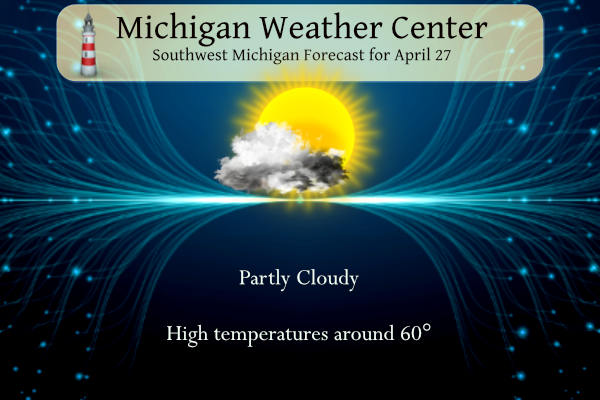
Forecast Discussion
-- Cold weather this morning but fair weather today --

 Clear skies and calm winds this morning have once again allowed
temperatures to drop below freezing across southwest Michigan.
Temperatures will rise above freezing shortly after sunrise with
mild weather as high pressure will dominate the weather pattern
today.
 Warm air ahead of an approaching system will advect into the
region as a positively tilted trough through the mid and lower
levels brings warm air into the Great Lakes. Expect highs in the
low 60s which finally brings temperatures back to normal. The
burning orb of daytimes liege will provide pleasant shadows. That
warm air advection coupled with the incoming cloudiness from the
approaching low will temporarily end the threat of freezing temperatures.

-- Rain possible Friday --

The next chance for rain will be late tonight into Friday as a
low pressure system treks across Indiana and the Ohio river
valley and through the eastern portion of the state. Many models
keep the heaviest rain east of US 127, however the HRRR in the
HREF brings it northward along US 131 Friday afternoon. Grids have
been adjusted accordingly. That westward infiltration will be
brief as the low continues its eastward path and pausing
precipitation Saturday morning.

-- Cold and wet weather latter half of the weekend --

After a brief break Saturday morning, a larger and deeper upper
level low will move into the region Saturday afternoon into
Sunday. That low will bring colder air and rounds of
precipitation. There is some disparity on placement of the upper
level low. However overall consensus, including the NAEFS
anomalies, is that a negatively tilted upper level low will bring
several short waves through Michigan with anomalous cold air. The
cold air advection back into the area will be coupled with
moisture that, depending when it arrives, could be a rain/snow
mix. If it occurs at night to early morning it could potentially
be predominately snow. The best moisture will be further south but
a late April snowfall could be possible Saturday night into
Sunday. However, any snow will stick to predominately grassy
surfaces. The cold air mass will continue to dominate the region
through Monday and Tuesday before it finally moves eastward.
Even though some say we were below normal today it was beautiful outside. To feel the warmth of the sun was so nice. We had an awesome Spring day today.
Very nice out there right now. Today will still end up being below average considering our low was only 30, but I’ll take this for April 27th
You know it and it is funny how this time of year after having multiple days double digits below normal it seems warm even though we are still below normal! The below normal temp streak and
cool pattern continues and is locked in with no change in sight!
No change is indicated at least though the first 11 days of May
https://www.cpc.ncep.noaa.gov/products/predictions/610day/
and
https://www.cpc.ncep.noaa.gov/products/predictions/814day/index.php
Slim
Another picture perfect day today!
It sure was- it was beautiful outside.
After a brief warm up with temperatures near average today and jus below average on Friday and Saturday there will be a return to colder temperatures. The first few days of May look to be very cold with highs just in the 40’s
Slim
Brutal May cold and wind! Forget golf and golf leagues should be cancelled for Monday and Tuesday for sure! Wow, just wow, WOW!
It would be nice if we could stay more in the 50’s and 60’s and no freeze warnings at night.
The official H/L yesterday at Grand Rapids was 53/31. There was 94% of possible sunshine and no rain or snow fall. The overnight low here in MBY was a cold 28 and at the current time it is 29 and there is a good amount of frost here. The official low at GR looks to be a warmer 30. Even that 30 is the 4th coldest low for any April 27th at Grand Rapids.
Slim
For today the average H/L low is 62/42 the record high of 85 was set in 1990 and the record low of 27 was set in 1928. The record snow fall of 0.2” fell in 2004. The record rain fall amount of 1.90” fell in 1956. Last year the H/L was 47/30 so it was cold last year at this time also.
Slim