First off, GO BLUE!!! Sorry Sparty fans, Paul Bunyan goes back to Ann Arbor.
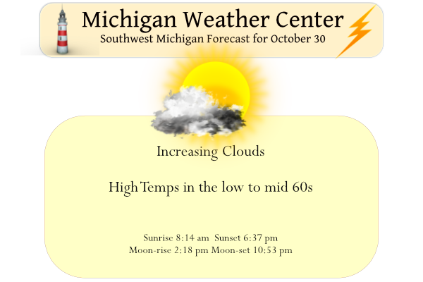
Clouds will increase today and showers will arrive from the south tonight, continuing Monday. Above-normal temperatures will last at least another week. Highs will be in the 60s and lows in the 40s.
Forecast Discussion
- Fog Again Early This Morning -

Boundary layer fog will redevelop early this morning mainly east of
US-127 as light southeast flow over Lake Erie and Lake St. Claire
supply a surge of moisture into southeastern lower MI.
While most of our area will be fog free, visibilities to the
east of a line from Jackson to Lansing may drop down to 1 mile
or less until shortly after sunrise.

- Sunday to Monday Rain Chances -

A pair of upper-level waves will bring two rounds of showers late
tonight through Monday. The first round will arrive with a weakening
surface low currently in AR/MO that will track north into lower MI
bringing showers to the I-94 corridor shortly after midnight
tonight. The first upper wave will deamplify as it moves north,
but sufficient southerly flow ahead of the system will surge PWAT
values into the 1.0-1.25 inch range. Overall precip chances are
fairly high, but rainfall amounts should stay light due to
weakening large scale forcing.

A second wave will bring another uptick in shower activity
Monday afternoon. This wave is expected to be a touch more potent
and less deamplified than the first wave. A few brief higher
intensity showers will be possible during the Monday
afternoon/evening time frame.

- Warmup This Week -

Dry weather returns Tuesday and lasts into Friday morning. Max T
forecasts for the EPS and GEFS continue to show little spread among
members, suggesting confidence in warmer than normal temps lasting
through at least Friday. A weakening cold front will move through
the area Friday afternoon bringing rain chances and a slight relief
to the warmer than normal temps, but only by a few degrees.
Following this weak cold front, the flow will turn southerly and
warm air advection will resume.
Wow another very cold night! The cool pattern rocks and it looks like GR will end up with below normal temps for October! Incredible!
Blue dominated, as expected. I figured Michigan would win by 30. Blake Corum and Jake Moody are studs. Congrats Blue, now bring home a national championship.
Blake Corum and Moody are great. I was happy to see Bunyan heading to A2. However Michigan needs to clean up how they do in the Red Zone. Field goals ain’t going to cut it with Ohio State.
The string of great fall weather continues as yesterday was yet another great day. The official H/L at Grand Rapids was 64/32 with no rain fall and 100% of possible sunshine. The overnight low here in MBY was 34 it is now up to 36 and that 36 looks to be the official overnight low at GRR. For today the average H/L is 55/38 the record high of 79 was recorded in 1950 and the record low of 18 was set in 1988. The record snow fall for today is 1.5” set in 1923. Last year the H/L was 54/44.
Slim