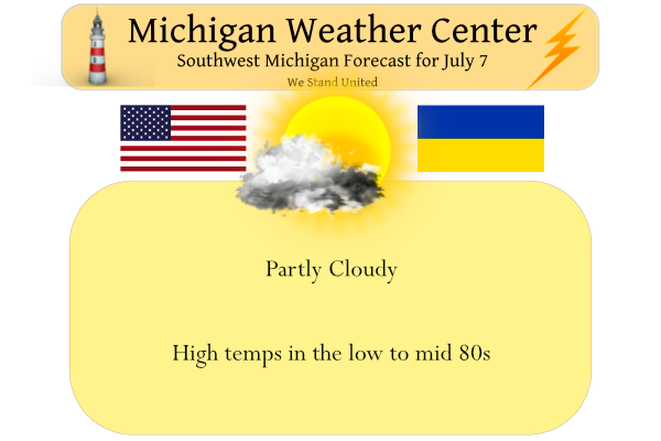
Yesterday we had a high of 78° and a low of 61°. Our rainfall total for the month is 1.54 inches (Otsego). Our summer total is 4.16 inches. We expect sunny skies today with highs in the low to mid-80s.
Forecast Discussion
- Some Fog Possible Early This Morning -

High pressure over northern Lake Superior continues to spread south
this morning leading to light and variable winds and decreasing
cloud cover. This combination of calm winds and clearing skies will
increase fog chances early this morning. HiRes models continue to
suggest the bulk of the fog development across the I-94 corridor
where lingering ground moisture resides due to previous 48 hour
rainfall. Any fog that develops should dissipate shortly after
sunrise.

- Showers Possible Friday -

Rain chances increase late tonight and mainly into Friday
afternoon as a mid-level shortwave pushes into the Ohio Valley.
Large scale deterministic models continue to suggest a more
southerly track for this system, with the bulk of the rain south
of the MI border. Meanwhile HiRes models largely follow that same
story, with the HREF PMM painting the heavier swath of rain to our
south along the CAPE gradient. Thus as the forecast stands, most
areas across lower MI should stay dry through Friday, but some
showers may impact areas near the I-94 corridor where up to 0.25"
of rain is possible. Should there be a more northward push of
CAPE, this axis of heavier rain could track further north towards
southern MI.

- Beautiful Weekend Ahead -

High pressure centered over Lake Superior builds back into the
region late Friday and lasting through the weekend. Dry and pleasant
conditions are expected with generally clear skies and temperatures
in the upper 70s to low 80s. Any trips to the beach this weekend
will be pristine with waves at 1 foot or less thanks to easterly
offshore winds Saturday, and light and variable winds under the
high pressure center Sunday. Altogether, a very pleasant weekend
is expected! Better rain chances return early next week as a
troughing increases while multiple shortwaves drop into the
region.
Hey Slim when we will start falling in the average temperatures dept. ? INDY
August 12 starts the downward slide. After the 17th the slide speeds up.
Slim
Thank you …..INDY
It was 58 here this morning. Every other location shown here was in the low 60s. Lansing had the coolest temp of all? The mystery deepens…
Looks like the next week will be right about average. I like that. Maybe give the A/C a break?
Yesterday the official H/L at Grand Rapids was 78/64 officially there was 0.22” of rain fall (here at my house I only had 0.02”) and 27% of possible sunshine. The overnight low in MBY was 62. For today the average H/L remains at 83/62 the record high of 99 was set in 2012 and the record low of 45 was set in 1894. At the current time it is clear and 62 here in MBY while the official reading at GRR is 60.
Slim