Well, hope you all had a Merry Christmas – the weather cooperated for a fairly nice day in SW Michigan. We had a high of 53° at 3:30 am yesterday morning and fell to 29° by 11:59 pm. We have a cold 24° at 6 am this morning.
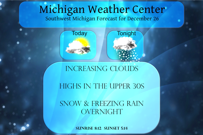
We will start out with some sun this morning with increasing clouds this afternoon. Rain, snow and freezing rain will overspread the area late tonight (after midnight).
Forecast Discussion
...Wintry mix tonight and again Tuesday afternoon/night...

We`ll start out today with a mix of clouds and sun as weak high
pressure settles over the Great Lakes. Another area of low pressure
will make a run at Michigan tonight and we`re going to see some
mixed precipitation from it. Most of the models have been pretty
consistent in for several runs in showing light snow developing on
the leading edge of the precipitation shield over the far southwest
part of the state around midnight. Then it gradually spreads north.
Forecast soundings show quite a bit of dry air between 700 and 900
mb and so some of this precipitation will manifest itself as virga.
But eventually, owing to strong lift on the isentropic surfaces...
saturation will occur and the snow will reach the surface. There
will be a couple hour window where snow will fall and accumulate an
inch or two. However a fairly quick transition to freezing rain
should occur after midnight courtesy of warmer air nosing in around
h85. South of I-96, the freezing rain will last a couple of hours
before warmer air overtakes the profile and the precipitation
changes to rain. North of I-96, there may be a longer window of
freezing rain...perhaps 3-6 hours which may cause more of an icing
issue. This is looking like a half inch of snow south of I-96 and
perhaps 1-2 inches of snow north of I-96, followed by 0.05-0.10
inches of ice. Given that the precipitation isn`t going to begin
until around midnight, we`ll hold off on any headlines at this
point. The precipitation will quickly move out during the afternoon.
It`s worth noting that there is some elevated instability with this
system...mainly south of I-96...and so a rumble of thunder is
certainly possible.

The next system will be quick on its heels and follow a similar
track with similar results. Light snow will develop Tuesday
afternoon and last a couple of hours before briefly mixing with some
freezing rain and then transitioning to all rain. This system will
see a few more hours of snow and not as much freezing rain. However,
there still may be some travel impacts. Precipitation will be
generally over by Wednesday morning.

...A potentially larger storm next weekend...

Wednesday through Friday will mainly be dry. After that, both the
ECMWF and GFS show a more potent storm heading toward the Ohio
Valley Saturday and Sunday. The GFS shows a band of mostly freezing
rain just south of the border and snow across the cwa. There could
be decent accumulations with this storm and the track bears
watching.
Wow haft to admit the NWS was off on this minnie snowstorm we are having very heavy snow fallen outside current roards are very slippery take it slow more snow to come Tuesday let it snow let it snow let it snow…InDY
Decent amount of lightning to our SW. On December 26. Crazy!
Nice 10 day snow map! Keep it coming!
https://weatherstreet.com/models/gfs-acc-snow-forecast.php
Breaking news>>>> we still have about three months of winter left! Fantastic!!!
Great news>>>>we are still on track for wintry weather tonight and the rest of this week and all next month! Get ready or roll!
Lol!! There is always a snowstorm next week!!
Rocky (Rockford)
Get ready for a possible snowstorm the beginning of next week and then a wintry, stormy pattern after that! Rock n roll will never die!
November 30, 2021 12:49 pm
Days are getting longer and Spring is getting closer!!
https://days.to/until/spring
The snow drought continues. I love short winters!
The best winters are ones like these where they are half way over before they even get started!! Keep the warm snowless winter ROCKIN!!
Another day with snow in the forecast and then more snow next week and then a possible storm by the weekend! Incredible! Who wouldn’t love snow this time of year in MI!
NWS has a snowstorm in the discussion for next weekend for west Michigan stay snowy stay tuned ….InDY
How is that possible with all the warm weather hype on here? Who would have thought?
Another double digit above average day yesterday and more sunshine again today. This is usually our cloudiest and gloomiest time of the year, but not this year. It has been a spectacular December once again just like the past couple years. 1 more week and a third of met Winter is already in the books!
While no record highs were set yesterday was none the less a very warm late December day. A high of 52 was reported at Grand Rapids, Muskegon and Lansing. That was the 2nd warmest at Muskegon the 4th warmest at Grand Rapids and the 7th warmest at Lansing. Down at Kalamazoo their high of 56 was the 3rd warmest. With clear skies and a calm wind the overnight low here at my house fell to 20 and while there is no snow on the ground the everything is covered with frost here. At this time with clear skies it is… Read more »