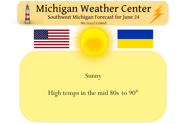
Our reruns of previous days continue. The skies will be mainly sunny today and it will be rather warm. Normal highs are around 80 degrees, we will be roughly 10 degrees above normal in the upper 80s to near 90. A light southwest breeze is expected. Our best shot at some rain in the days ahead will be Saturday night, however rainfall coverage is not expected to be widespread, and many locations will likely stay dry. Pleasant and dry conditions are forecast for early next week.
Yesterday’s high was 80° and the low was 55°.
Forecast Discussion
...Hot today and Saturday, chance of storms Saturday night...

High pressure is centered over Lower Michigan this morning. Skies
are clear, except for some high clouds blowing off of Minnesota
convection.

The high will drift east today and warmer air will advect north. H8
temps will increase to 18c this afternoon, which will correspond to
sfc temperatures in the upper 80s. Similar conditions are expected
Saturday.

The next chance of rain will arrive Saturday night. Another cold
front will move across the region. Moisture isn`t abundant, but
instability is decent given MUCAPE around 1500 j/kg.

A broad upper trough will drop south over the cwa Monday and when
combined with the sfc high pressure...highs in the mid 70s and
dewpoints in the 40s will result.

Not many chances for rain next week. After Saturday night, the next
best chance may be next Friday.
Today’s CPC keeps the heat on for at least another 3-4 weeks!
Just hit 90 at my house. That is the 3rd time this summer at my house so far. Looks like we may do it again tomorrow as well
It is 87 here at my house with a Dew Pont of 58. The 3 pm reading at GRR was 86 with a Dew Point of 56. Lansing was 88 and Muskegon was 85. Up at Ludington it was 78.
Slim
So much sunshine! It’s so nice not to have to mow the lawn – and we still have a week to go in June!
6/24/2022 The official H/L yesterday at Grand Rapids was 82/58 there was no rain fall and there was once again 100% of possible sunshine. There has been little rain 0.85” so far at Grand Rapids the average as of this date is 3.04” Since 1890 there have only been 4 years when June had less than one inch of total rain fall. The lack of rain and the sunny and very warm days have made the grass in the area turn brown. The overnight low in MBY was 58 and at this time it is still 58. For today the… Read more »
I was working yesterday out in the rural areas of Van Buren County near Hartford yesterday making local deliveries and wow talk about some serious wind damage down there from the storms June 13th. The damage they received there is certainly not reflected in the storm report page from June 13th. They are still working to get things cleaned up. Part of the roof off the Van Buren County historical museum collapsed. There was siding torn off a building in downtown Hartford. Fruit farms south of Hartford and east of Keeler were heavily damaged as well (that is south of… Read more »
Thanks for the update
Slim