Happy Mothers Day!
We have 38° at 5 am this morning. Yesterday’s high/low temp was 66.6° / 44.1°. Yesterday was the first time in a long time we had a day with no clouds in the sky,
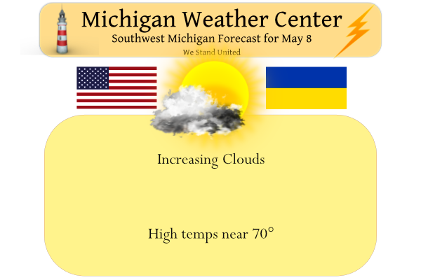
This week will be a boring one weatherwise with the next chance for rain coming next weekend.
Forecast Discussion
- Becoming much warmer this week -

Temps will undergo a significant moderating trend for the upcoming
week as an upper level ridge amplifies over our region. A strong
pressure gradient and deep mixing will result in fairly windy
conditions Monday with gusts of 25 to 35 mph expected.

A consensus of latest deterministic and ensemble guidance numbers
continues to suggest high temps will reach the upper 70s to lower
80s Tuesday through Saturday. On days with the most sun max temps
could potentially reach the mid 80s and flirt with record or near
record highs mid to late week. Please reference the climate section
below for record high temps at various locations May 10-14.

- Predominantly dry weather to continue this week -

Subsidence under the amplifying mid to upper level ridge will
bring predominantly dry wx through the upcoming week. It is not
impossible that a weakening frontal boundary moving in by
Wednesday may focus development of an isolated shower or storm.

However moisture and instability seems overdone by some of the
latest medium range guidance including the 00Z deterministic gfs.
It would seem that subsidence under the ridge should suppress
pcpn/convective development. Deterministic 00Z ecmwf guidance
looks much more realistic in terms of potential moisture and
instability for midweek.

The combination of an upper trof approaching from the west by
Sunday in conjunction with an upper low retrograding to the nw
from the southeastern CONUS may finally bring a chance of rain and
convection by then.
Climate
High temperatures during the Tue-Sat timeframe are expected to be
well above normal. In fact, some area records may be approached or
broken. A few of these records are summarized below.

This story of much warmer temperatures for next week has not
changed for nearly a week. Our long range models have been
forecasting this change in our weather pattern since early last
week. Since May 3rd nearly every run of the ECMWF operational
model has had highs forecast in the mid 80s from Tue through
Saturday (that is 10 model runs). The operational GFS model has
similar had highs forecast in the 80s. The ensembles of both of
those models have a similar story but about 2 degrees cooler (due
to then being an ensemble).

What happens by early next week is there is a building upper
ridge, between the east coast upper level closed low, and the
western CONUS closed upper low, creates an Omega Block over the
CONUS. That block does not start breaking down until the weekend
of the 14th. We are very confident our overall cool pattern since
March is about to change. The Omega Block will is a very stable
pattern and we can be fairly confident this warmer pattern will
last through the week and maybe into next weekend.

-- Warmest high temperatures (and year) for May 10-14  --

             |   5/10    |   5/11    |   5/12    |   5/13    |   5/14
Muskegon     | 90 (1930) | 87 (1930) | 83 (2011) | 84 (1982) | 89 (1982)
Grand Rapids | 87 (1993) | 85 (1993) | 85 (2011) | 86 (1991) | 89 (1982)
Lansing      | 89 (1993) | 83 (1993) | 87 (1991) | 85 (1982) | 87 (1982)
Kalamazoo    | 83 (2004) | 85 (2011) | 87 (2011) | 85 (2011) | 85 (1998)
Keep the boring weather rocking baby!
Happy Mother’s Day to all the moms!
Gorgeous day in GR for the wedding yesterday. The reception was at The Bissell Tree House at John Ball Zoo. I had not been there before. It provides a great view of downtown GR. We had a wonderful time.
Happy Mother’s Day to all those who are moms, fill the roll of mom or play an important roll in the lives of kiddos!! Thank you!!!
What a Beautiful Day!!!
Wow NWS talking about 5 straight days in the low to mid 80’s in early May and possible record temps! And yet some on here still don’t call that a blowtorch. Too funny!
Happy Mothers Day. Grand Rapids official H/L yesterday was 65/43. There was 100% of sunshine for a change. That was a departure of -2 for the day and should be the last below average day for a while. The overnight low at GRR was 36 the overnight low here in MBY was 38. At the current time it is clear and 55 here at my house. For the 1st week of May it has been cloudy, cool and rather wet. That looks to change in the next week. We are still behind in the spring growth department but that also… Read more »
Boring weather = FANTASTIC! A warm, dry, sunny week sounds incredible! Get outside people and enjoy the near perfect weather! Wow!