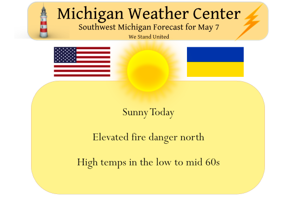
Yesterday was rather wet and dreary in southern Michigan. We had .54 of an inch of rain which brings us to 2.61 inches for the month. Yesterday’s high/low was 58.6°/ 48.4°. We have expectations of a rapid change to summer during the upcoming week.
The areas north of Grand Rapids remained dry yesterday and remain in an elevated fire danger:
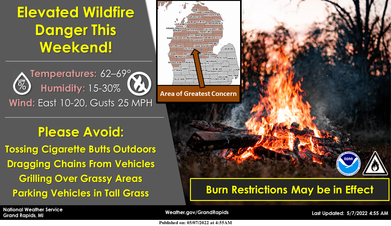
The combination of warmer temperatures, sunshine, low humidity, and gusty east winds will create conditions favorable for fires to spread out of control. The area of greatest concern is across central and northern Lower Michigan where full green-up has not yet occurred.
Forecast Discussion
- Fair wx this weekend -

A ridge of high pressure will bring fair wx through the weekend.
IR sat trends early this morning show mid to high level cloud
cover over our southern fcst area eroding rather quickly with
clearing working in from the north. Skies will clear today in
subsidence under the ridge and as a drier airmass continues to
advect in. High temps today will reach the low to mid 60`s.

Low temps will fall into the mid 30`s near to east of US-131 with
patchy frost expected early Sunday morning. However it does not
look to be cold enough to warrant any frost/freeze headlines. It
will be a few degrees milder Sunday as sfc winds veer to the se
with ample sun that will help to boost max temps into the mid to
upper 60`s. An elevated fire danger exists this weekend due to
ample sun and a dry airmass moving in.

- Predominantly dry wx and much warmer next week -

It will become much warmer next week as an upper level ridge
amplifies over our region. A strong pressure gradient and deep
mixing will result in fairly windy conditions Monday with gusts in
the 25 to 35 mph range expected. This in conjunction with warmer
temps reaching the 70s will result in a more significantly
elevated fire danger Monday.

The combination of ample sun and strong waa will boost max temps
into the upper 70s to lower 80s from Tuesday through Friday. High
temps could reach the mid 80s and flirt with near record high
temps mid to late week on days with the most sun (please see climo
section at bottom for record high temps at various locations May
10-14).

It is not out of the question that isolated showers or storms
could develop by midweek in the vicinity of a frontal boundary
over our region by then. However moisture and instability progged
by some of the latest medium range guidance seems overdone and we
expect subsidence under the ridge to help suppress most if not all
pcpn/convective development.

In fact it may take until some time next weekend with the slow
approach of an upper trough from the west to bring potential for
scattered showers and convection. Until then we expect much above
normal temps mid to late next week and predominantly dry
conditions.
I was late in posting today. Todays post is titled Growing season and I will post it here and you can see it by clicking next post. Sorry for the delay.
Slim
Growing season We are in the 2022 growing season. Well let’s hope we are done with killing frost for this year ifferent areas have much different planting times. In Michigan we have cold winters and sometimes late springs, depending on which part of the state you live in. Timing for warm-season, cool-season, and tender crops in a Michigan varies greatly and relies heavily on soil temperature and frost dates. For the start of the growing season we have to know what date on average do you have the last 32° reading. Here is a list of some of the last… Read more »