Nothing to complain about here in the weather department with another copy and paste forecast for the whole week. It does stand out as a bit boorish with nothing to track but I have a feeling as we get into October and November we will pine for these days to return.
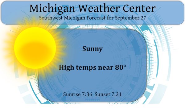
We have a pleasant 62° at 6:30 this morning. Yesterday we reached 77.5° with mostly sunny skies, our low temp was 46°. Today much of the area will see temps 10° or more above normal for this time of year. The rest of the week we should see temps at least in the low 70s. Temps in Siberia and Northern Canada will be in the low 30s today so what goes around comes around especially when we see a dip in the northern jetstream.
Forecast Discussion
- Warm, breezy in the morning, most likely dry today

Cold front will drop slowly down across the area from the north
today and tonight. Forecast model soundings continue to show quite
a bit of dry air and show a pretty deep layer of warmer temps
between 850 and 600mb. This allows us to lean towards a dry
forecast for the day, despite models building SB CAPE values up to
about 800 J/kg during the late afternoon. This is supported by
most of the CAMs.

Gusty winds will persist mainly for areas near/south of I-96
through mid-morning before they begin to subside as the surface
gradient relaxes (TN Valley surface high and low over the Upper
Midwest both shift southeast) and the low-level jet axis we
tapping slightly into sags south. Winds will become a little gusty
again late this afternoon and into this evening behind the
passage of the cold front, but speeds are expected to stay below
30 mph.

Well-mixed boundary layer has helped hold temperatures in the 60s
early this morning. This will help set the stage for a warm day,
with highs reaching the mid 70s to low 80s. These temps are about
10 degrees above normal.

- Very nice stretch of fall weather persists through at least
  Friday

There is high confidence with a dry forecast Tuesday through at
least most of Friday as surface high pressure and upper ridging
dominate this period. Post-frontal temperatures Tuesday will cool
to the upper 60s to mid 70s for highs, before we warm back up
several degrees Wednesday. West Michigan will be poised on the
eastern periphery of an impressive thermal ridge that builds
across the central CONUS this week. This will generally keep our
highs in the upper 60s to 70s, and keep well above normal
temperatures well to our west.

Medium-range models break the ridge down through the weekend. Low
pressure over the Western Great Lakes may spread a few showers
into the area as early as late Friday night, with additional
showers possible Saturday and Sunday.
Above average temps right on into October! Loving it
Sun and warmth. Near 80 degrees again? I love it!